Happy Monday morning, WABBLES! Great news: we are back to feeling incredibly spring-like here in the area over the next 48 hours. High temperatures straight out of late spring/early summer have arrived in WABBLES and will keep us warm and comfortable for the next 48 hours, before we get our next chance at seeing some scattered storms this Wednesday. How hot will we get? And how cold will it be once the rain moves out? We’re going over it together, in today’s weather blog!
Today’s Forecast
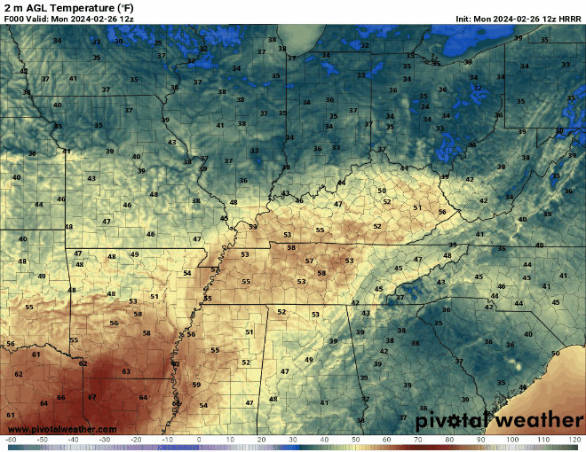
As mentioned previously, the forecast for the next two days is dominated by the high temperatures we’re anticipating. Some of us will be out here feeling like it’s early summer, as lots of warm sunshine and rushing winds moving in from the south will keep us in the mid to high-70s for highs today and Tuesday. That’s a huge jump compared to our high-40s and low-50s from last week! With no precipitation expected until Wednesday, you should dig out those t-shirts and shorts while you can, at least to check if they still fit – you’ll thank us later!
Feels Like Summer – Until the Rain?
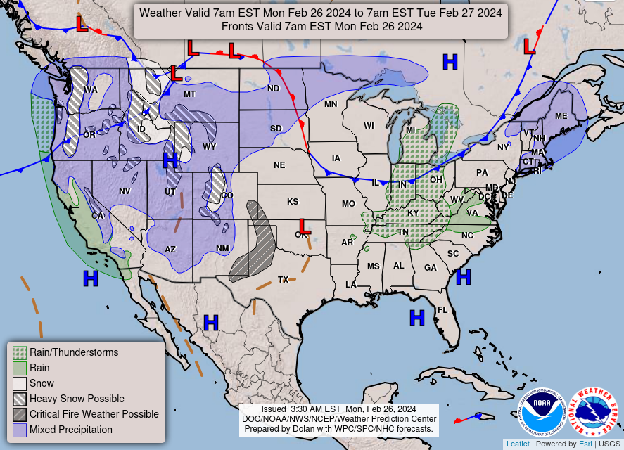
You got it! In fact, keen eyes might have already noticed our next big weather-maker pushing in from the northwest at the tail end of that GIF above. A wave of potent cold air will be making its way out of Canada and extreme northern parts of the U.S. Tuesday night into Wednesday morning, not only bringing us much colder temperatures, but also bringing with it a chance to see some scattered, localized thunderstorms.
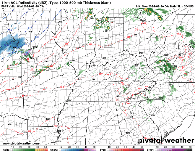
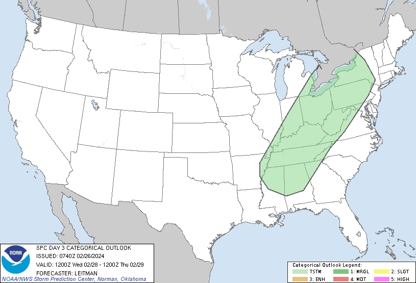
The Storm Prediction Center had been watching this system intently over the last several days, but luckily, the intensity of the storms expected to arrive with this area of low pressure has drastically decreased. As models and predictions downtrended, the Storm Prediction Center has only outlined the WABBLES area in a region of general thunderstorms on Wednesday. While that’s great news on its own, temperatures will plummet on the backside of this system, and it may even be possible for some lucky ducks in our area to see some sparse flurries as the wet weather moves east. Keep it in mind as you plan your activities for Thursday!
We’re feeling pretty confident about this forecast, but as always, please make sure you’re keeping up with the WXornotBG crew on Twitter as well as here on the website so that you don’t miss a single update when new information comes out. For now, enjoy the spring-feeling weather before we lose it all again later this week! Take care WABBLES folks, and we’ll see you here again on Wednesday for the next installment of the blog. Later!