


Boy, that was an active weather week around WABBLES, wasn’t it? Thankfully, as we head on into the weekend, we’ll continue to calm things down…and cool things off too.
Easing into the Weekend: Friday and Friday Night
The last gasp of our most recently active pattern appears to be moving through as we head through the early part of our Friday with those scattered showers and storms exiting the region.

Severe weather is not expected, but don’t be surprised to hear some thunder or see some high water in spots (as always #AvoidFairview). Highs remain on the warm side, in the lower to middle 70s as we await this front to finally push on through.

Finally as we head through the overnight, we’ll start to clear things out as we head past dark. Overnight lows head back into the middle and upper 40s…and it only gets chillier from there!
Through the Weekend: Saturday and Sunday
We spent last weekend enjoying the warmth and sunshine and we’ll see more of that as we head through this weekend…just a bit cooler.
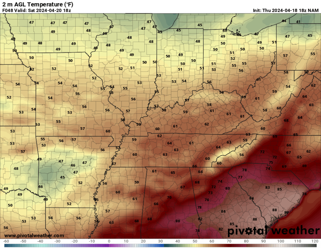
High pressure will be scooting into the region as we head through the day, which will bring us sunshine back to the region. The difference with last weekend is that we’ll also be cooler, with northwesterly breezes keeping our highs in the lower to middle 60s or so. Definitely a windows open weekend!

I can’t rule out a few clouds and perhaps a sprinkle later on Saturday night as a weak system scoots to our south, but the majority of us stay dry. We stay cool too, with lows in the lower 40s.
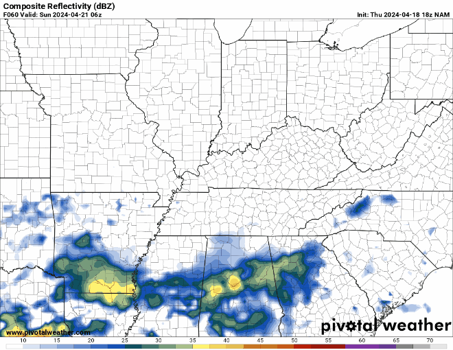
Some of those clouds may linger as that system lingers to the south, but the only thing that will do is cool us off a bit during the afternoon. Sunday may actually feel like more of a fall day as highs only make a run to about 60º or so. That chill continues as we clear out overnight, lows are back in the upper 30s to near 40º or so.
Following the Weekend: Into Next Week
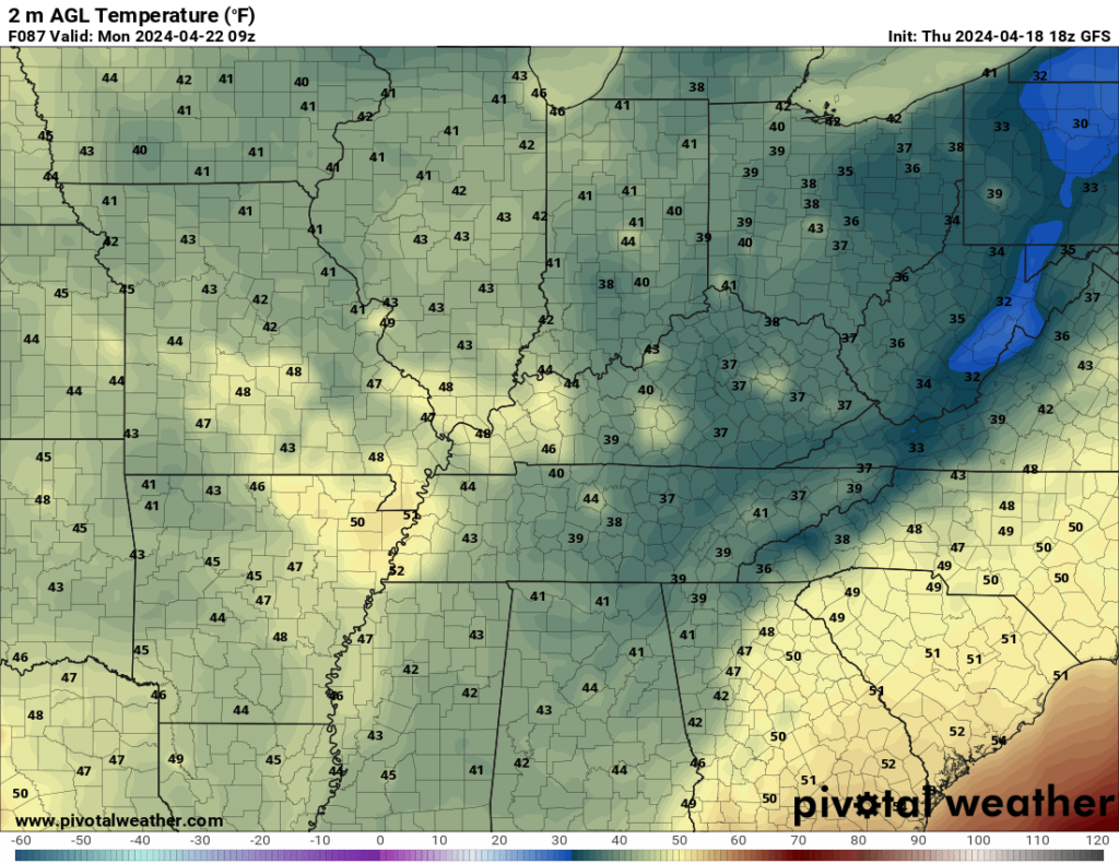
Things keep on keeping on as we head into the day on Monday. High pressure starts to scoot further to the east, so we’ll end up slightly milder during the day as we watch a weak disturbance push near. Highs during the day end up in the middle 60s as we continue seeing sunshine in the afternoon. A few clouds creep in overnight as lows fall back into the middle 40s.
We’ll try to bring a shower or two back to the region as we head into Tuesday with a weak system pushing through. This shouldn’t be too much of an issue, but the moisture return will help us warm back up into the lower 70s once more.
Once we get past that, we’re in much better shape as we head through the middle of next week as we slowly warm back up into the lower to middle 70s as we keep storm chances at bay for a little bit.

That’s it for me for now! You can always keep up with the latest on all of our social media platforms. Have a tremendous day and a great weekend!