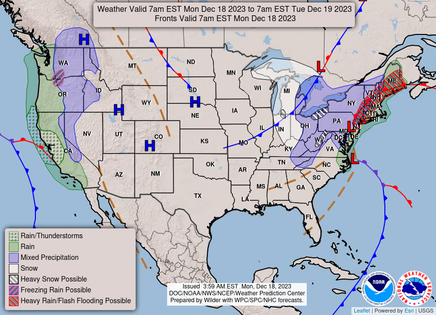
Good Monday morning, WABBLES and beyond! We’re finally getting our first real taste of winter weather today as a potent cold front surges down into Southern Kentucky, bringing us some flurries and below-freezing temps. Strong winds out of the northwest may be our enemy today, as not only will they drive our feels-like temperatures way down, but may also contribute to some low-visibility situations for those who may see a snow squall or two this afternoon. How long will this bitter cold last? And will any of these flurries actually stick? We’re breaking it down together in today’s weather blog!
Today’s Forecast
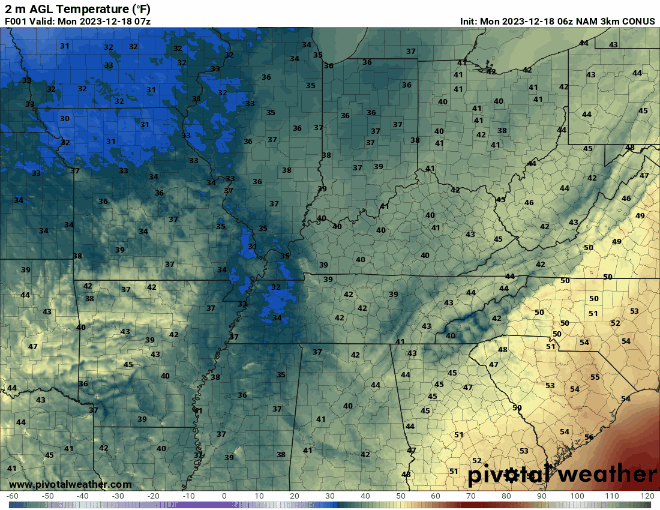
We’re keeping it pretty chill today due to a massive cold front that’ll work its way across the region over the course of the day, keeping our high stuck at around 40 degrees during the late morning hours and plummeting down to the mid-20s overnight for our low. All this chilly air is being propelled by strong winds from the northwest, which means cold and gusty winds will chase in some of that cold and fuel some pretty low wind-chill values. You’ve got to grab that winter coat if you’re heading out today, WABBLES!
What About Flurries?
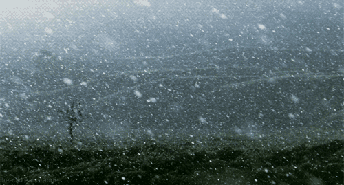
I’m glad you asked! Though this bitter cold may be frustrating or uncomfortable for some, with it comes the chance of seeing an isolated snow shower or two beginning this morning. Though they’ll be much too spotty and short-lived for us to expect any measurable snowfall here in WABBLES, just seeing some sparkling white flurries this time of year works wonders on that Christmas spirit. However, since the winds pushing these snow squalls into our region are so strong, please keep an eye out if you happen to be on the roads today, for a combination of light snow and some strong winds could make it very difficult to see for a short period!
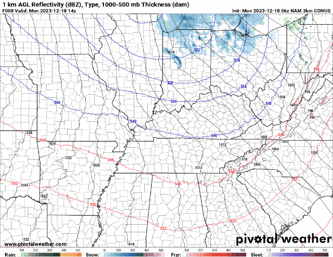
Areas further to the east will have a better chance of seeing wintery precip than our western counties purely because most of the moisture for these flurries comes out of the Great Lakes, and the northwest winds do a better job of pushing them toward the Appalachians instead of our region. But regardless, some pretty white flakes are definitely possible this afternoon, and certainly something to get excited about, even if they don’t stick around for long!
That’s really all we have for you today, WABBLES! Enjoy those flurry opportunities today if you get a chance, and make sure to bundle up if you’re heading outside at any point. Stay warm, stay safe, and stay tuned to the Twitter page and the blog for consistent daily updates! We’ll see you tomorrow!