Good morning and happy Monday, WABBLERS! The first full week of October has finally arrived, and though it may officially be fall, we’re still looking toasty to start off the month. Fall breakers will be pleased to hear that we’ll be staying warm and sunny through the middle of the week, so any fun outdoor activities expected to take place over the break are definitely still on! But when are we expecting cooler temps, and is there any more precipitation in our forecast? We’re breaking it down together in today’s weather blog!

Today’s Forecast
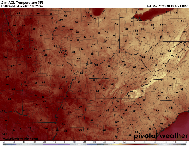
We are definitely expecting some toasty temperatures to return to WABBLES by mid-afternoon, as the ridge of high pressure that has built back up over the region has allowed warmer air out of the south to gather back up in Southern Kentucky. Though most of us likely won’t break 90 today, expect to see those highs in the upper-80s by 3 or 4 PM with little to no cloud cover to keep that glaring sun at bay. You’ll want to keep the sunscreen nearby until sundown, when temperatures will dip back into the high-50s and low-60s overnight.
How Long Are We Toasty?
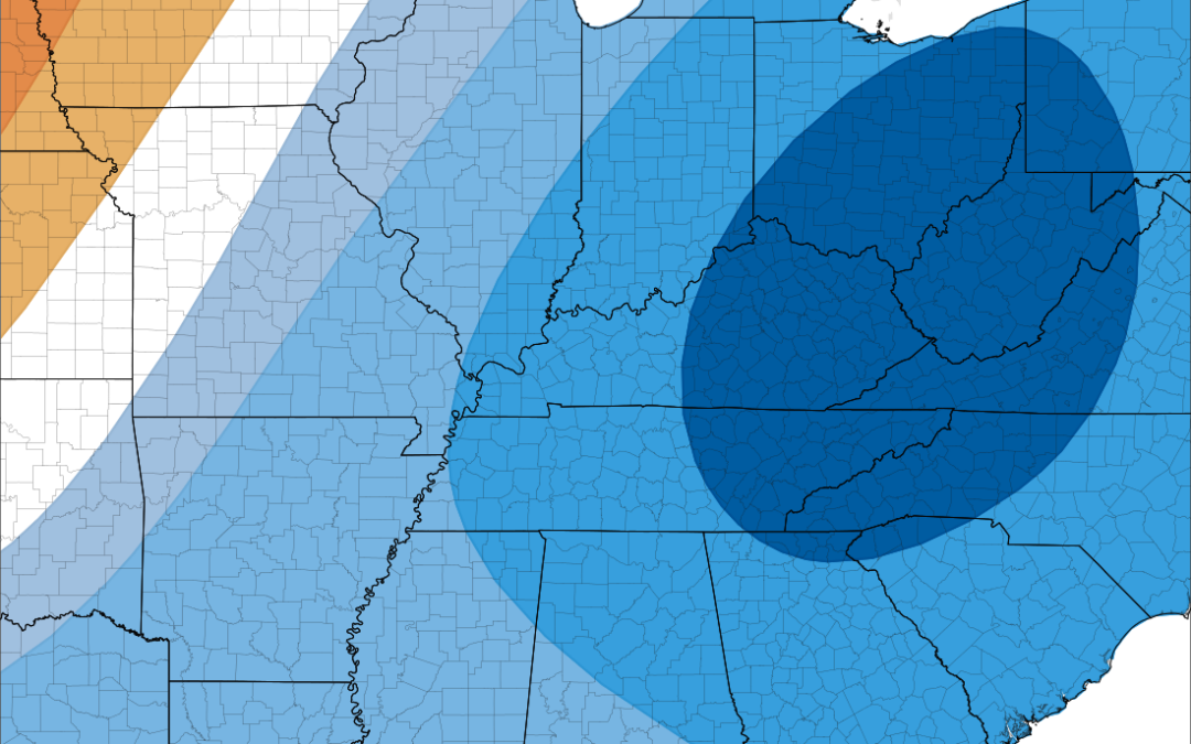
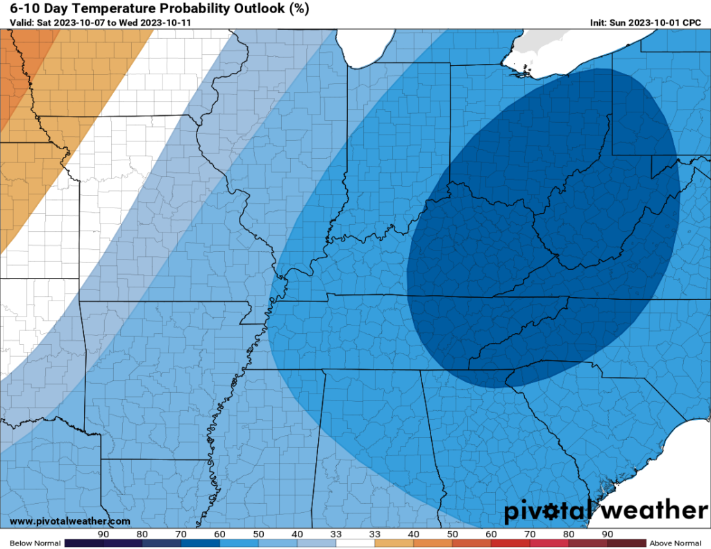
For those of you who are eager to start seeing more fall-like temperatures, you’ll be relieved to know that we’re expecting to see some much cooler conditions arrive in WABBLES by the end of this week! The extremely talented folks over at the Climate Prediction Center have been hard at work determining who will get the first shot of cooler air this season, and after some rain moves through our region on Thursday, we’ll be treated to MUCH more temperate air starting on Friday. Toasty no longer, we’ll be seeing highs much closer to 60 and lows almost in the 30s next weekend!
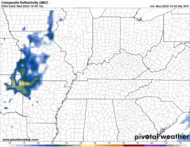
What Did You Say About Rain?
As the cold front moves in on Thursday night, we’ll likely see some showers associated with the drastic temperature change push into the WABBLES area Thursday night as well. However, at this time we don’t believe they will be anything to worry about; it’s more likely that we will have lingering showers press in during the overnight hours and let up by Friday afternoon, bringing the sun back out as well as the first round of our cooler temps. If and when we get more details on the specifics of that frontal passage, you all will be the first to know here on both our Twitter page and in the daily blog!
That’s about all we’ve got for you today, folks! Take care out there today, and we’ll see you back here tomorrow morning for another edition of the blog. Bye!