

")

We’ve hit the “broken record” portion of the month of May…and not in the way you might think. We’re getting stuck in a rut of constant showers and storms as disturbances continue to pinwheel through the WABBLES region right on into Mother’s Day Weekend.
Nice Start to Weekend: Friday and Saturday
Well, if you’d like to take Mom out for dinner outside, I would suggest Friday evening or Saturday evening, as the weather pattern looks to relax just enough to squeeze out a couple of nice days.

We look to spend the day Friday in between systems, under the influence of the broad upper level low across Canada. That will keep things dry and cool as we go through the daytime hours. Sunshine abounds, but northerly flow will keep highs below normal, in the upper 60s to near 70º or so. Overall not a bad day!

A weak disturbance pushing in from the north and west will try to throw some clouds and showers, perhaps even a rumble of thunder or two as a front swings through late Friday night and early into our day on Saturday. Clouds keep lows from dropping too much, only into the middle 50s. As the disturbance moves out early on Saturday morning, a nicer day looks to be on the way!

Brief high pressure works into the region, helping clear us out and bring the sunshine back to the region as we work into the daytime hours of our Saturday. Said sunshine should help us warm back up nicely, with highs making it back up into the middle and upper 70s. Not too bad!
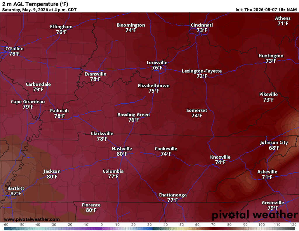
If your outdoor dinner reservations are for Saturday night, no big issues there either, as we’ll spend the evening falling through the 70s back into the 60s past dark. That’s on our way to an overnight low back near average in the middle and upper 50s.
Changes for Mom: Rain Returns Sunday
Well, I hope you aren’t used to the nice weather, because changes are on the way as we get set to celebrate Mom on Sunday

A somewhat more robust system looks to try to work into the region as we head into the day on Sunday. With warmer air and more moisture in place, we should have at least some level of storm energy to work with, but the wind energy looks to be lacking…unless we can get the two branches of the jet stream to phase over us.
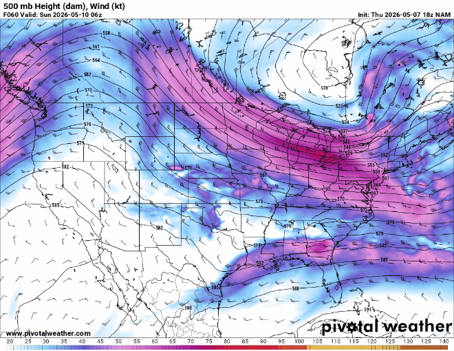
Should that happen, our storm chances would be a little more robust. However, even without that, we’ll likely see the potential for scattered showers and thunderstorms roaming the region on our Mother’s Day. So, even though highs look to make it back up into the middle 70s, we’ll have to keep a watchful eye on the radar in that new WX or NOT mobile app if you have any plans outdoors.

Shower chances look to stick around through the evening hours, though slowly tapering off as we head past dark. However, mostly cloudy skies won’t let us drop temperatures far, with lows only bottoming out in the upper 40s. Below average, yes, but not aggressively so.
Sunshine Starts the Week: Monday and Beyond
As has been the case in this pattern we’ve been stuck in, it looks like we’ll get a nice day off from the rain chances, but don’t assume the reprieve lasts long.

Transient high pressure sneaks in temporarily for our Monday, allowing us to clear out and enjoy a sunny and relatively milder day. Highs in the middle and upper 60s are slightly below where we should be this time of year, but it should be more than comfortable nonetheless.
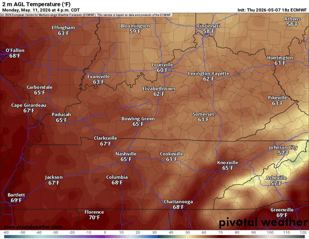
Mostly clear skies accompanying sinking air as high pressure stays on top of us for Monday night should allow temperatures to cool nicely, into the lower to middle 40s for many spots. Frost doesn’t appear likely, but darn it if it won’t be a bit chilly to start our Tuesday.

However, winds look to switch back out of the south on Tuesday as our eyes turn northwestward again. That should allow temperatures to get back up into the lower 70s into Tuesday afternoon. Another weak pulse rounding the base of this pesky and persistent upper-level low over Hudson Bay will provide us with another chance for showers and perhaps some rumbles of thunder late Tuesday and into Wednesday. Highs may rebound back into the middle 70s on Wednesday before another cooldown may try to ensue late in the week.
That’s it for me for now! For the latest radar, camera views, and forecasts, download the WX or NOT mobile app, available on the Apple App Store and the Google Play Store. You can also always keep up with the latest on all of our social media platforms. Have a tremendous day and a great weekend!