

")

It was a short-lived break from the warmer weather earlier this week, but as we head into what is somehow the final weekend of April, we’re back to mild, muggy, and unsettled.
Storms Moving In: Friday and Friday Night
Our relatively quiet pattern here has belied just how active things have been across the plains throughout this month, and it looks like one more plains disturbance will be making its way through before we turn the activity toward the south and southeast.

However, before the storms make a run at us, it looks to be a warm and windy day with some sunshine around, especially to start. After waking up to temperatures in the lower 60s, we’ll warm nicely into the lower 80s by midday and into the afternoon. However, clouds will be on the increase as showers and storms from the west draw closer.
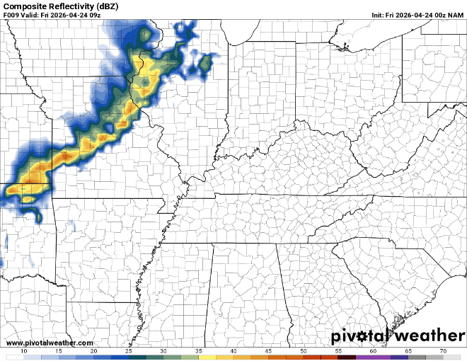
However, because we still have some level of high pressure and drier air in place, the storms will begin to struggle as they get closer to the region, though some rain will be possible as early as the evening hours, with better chances into the overnight. Clouds and showers keep lows from falling too dramatically, only into the lower 60s.
Unsettled Start to the Weekend: Saturday and Sunday
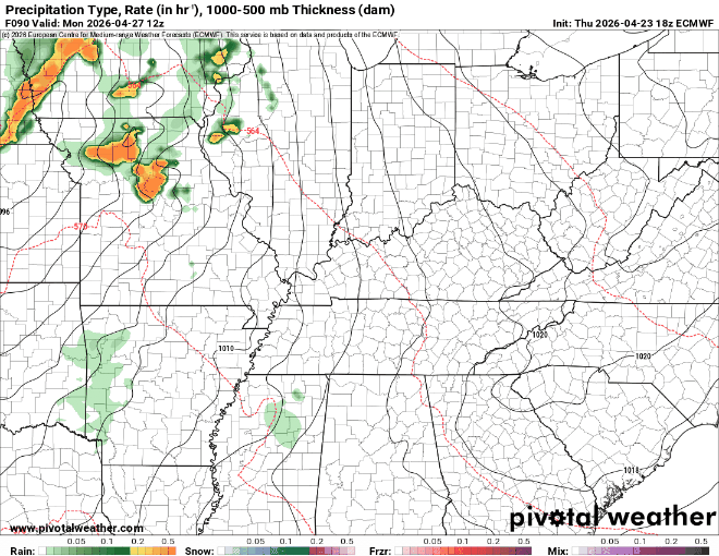
Our system that worked through on Friday will be taking its sweet time pushing through here as we finish up Friday and head on into the day on Saturday. As our disturbance continues to push on through into early Saturday, we’ll likely continue to see showers push on through the region.
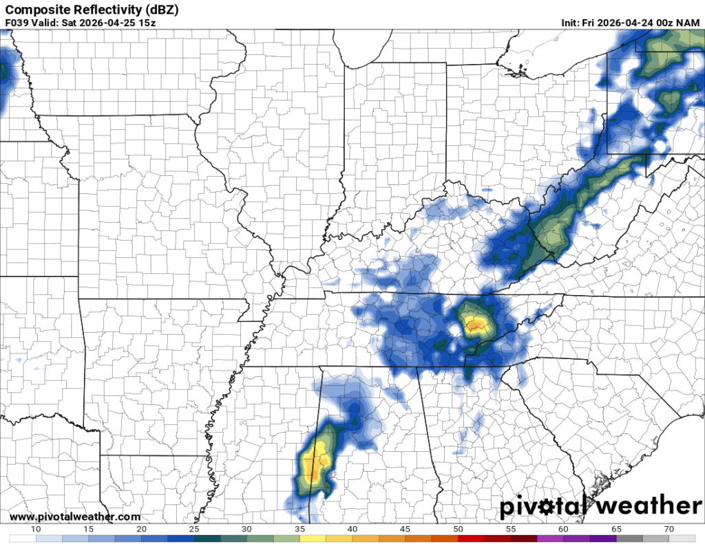
I can’t rule out some rumbles of thunder, but severe weather is not much expected with this bunch of storminess. On the same token, we’re not expecting much of that desperately needed rainfall that we long for.
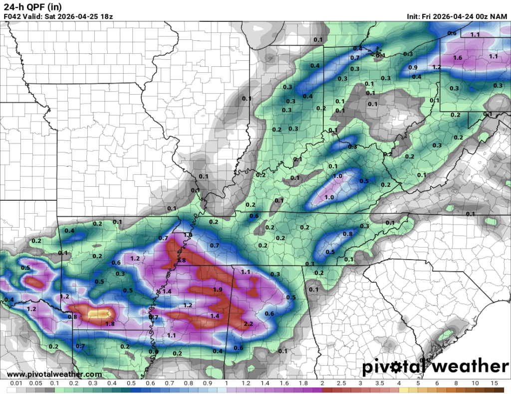
Clouds, showers and storms early will keep us cooler than the past couple of days or so, only making it into the upper 70s…perhaps squeezing out an 80º reading or two in our drier spots. Rain chances should steadily drop as we head through the day, but sunshine will be few and far between nevertheless. Slightly cooler air expected overnight as things continue to dry out, with lows back into the middle 50s. That leads into what appears to be the pick of not just the weekend, but potentially the upcoming week as well.

Brief ridge of high pressure should start to build in late on Saturday and into the day on Sunday, which should dry us out and allow sunshine to return to close out the weekend.
Sunshine and the high pressure between our systems should allow temperatures to warm nicely for your Sunday activities. Daytime highs should get back up into the upper 70s to near 80º or so. That is a tremendous look to close out the weekend!

Into Sunday night, however, we’re going to watch clouds on the increase ahead of our next system that kicks off a very active pattern. Overnight lows are back in the lower 60s as warmth and moisture moves back in.
Strong Storm Chances: Into Next Week
A signal that’s caught our eye for a few days continues to be a system that looks to be heading our way on Monday. Longer-range guidance has been keying on an area of enhanced wind energy overlapping with plentiful amounts of instability, or storm fuel, somewhere in the region during the afternoon and evening hours of Monday.
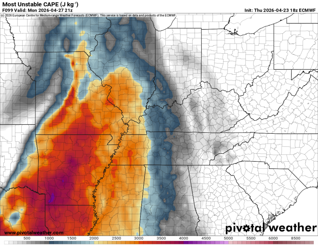
While we’ve spent the last couple of days trying to hone in on this threat, there are still some changes that will likely come to the forecast. As it stands now, however, it looks like our region will be rather capped during the early and midday hours of our Monday. That will prevent storms from firing and allow that storm fuel to build ahead of the system moving in…and build it will. Daytime highs on Monday should be back into the lower 80s, with dew points getting into the lower to perhaps middle 60s. Storm fuel.

As the cold front associated with a surface low racing toward the Great Lakes region starts to move into this area of overlapping wind energy and storm fuel, storms are expected to erupt. These will likely be supercell, or rotating, thunderstorms that will be capable of producing tornadoes, large hail, and damaging wind gusts. At this stage, it appears the greatest likelihood for that to happen will be well to our west across portions of eastern Missouri, southern Illinois, and western Kentucky. But we’re still going to have to watch as these storms move into the region.
It’s more likely that things will be more linear by the time the storms get into the WABBLES community, but all hazards remain on the table: damaging wind gusts, large hail, and tornadoes. And remember, we are still several days out, things can and probably will change, so please check back frequently on all of our social media platforms for updates. After storms move through on Monday night, lows will settle back into the lower 60s.
Past that, it’s likely that things will stay active as we head through the balance of next week. We’ll watch more scattered showers push through the region on Tuesday, Wednesday, and Thursday. Temperatures are back in the lower to middle 70s, but some indications are that things could get cooler than normal with showers moving in, but one step at a time as we head into next week.
That’s it for me for now! You can always keep up with the latest on all of our social media platforms. Have a tremendous day and a great weekend!