

Happy Tuesday Morning everyone! I hope y’all have had a great start to the week around WABBLES and are ready for some more thunderstorms that are on the way.
But First, Sunshine
Today and Wednesday will be quite beautiful, but a little hot with highs around 90 both days. If you can stand the heat, however, there will be plenty of sun making for a beautiful summer day to be outside.
Time for Thunderstorms
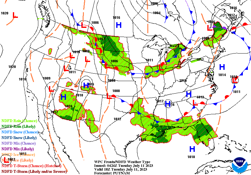
While Wednesday will be quite nice, Wednesday night into Thursday Morning will feature a chances for rain and thunderstorms.
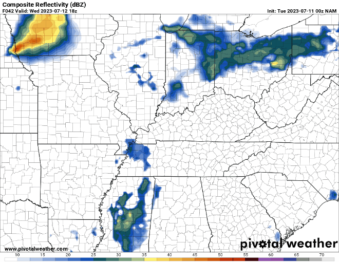
Models are a bit confused on how this will evolve, but this is to be expected with convective setups a few days out. Nevertheless, this is something we are keeping an eye on for the potential of stronger to even severe weather.
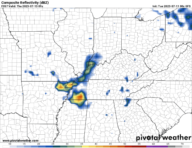
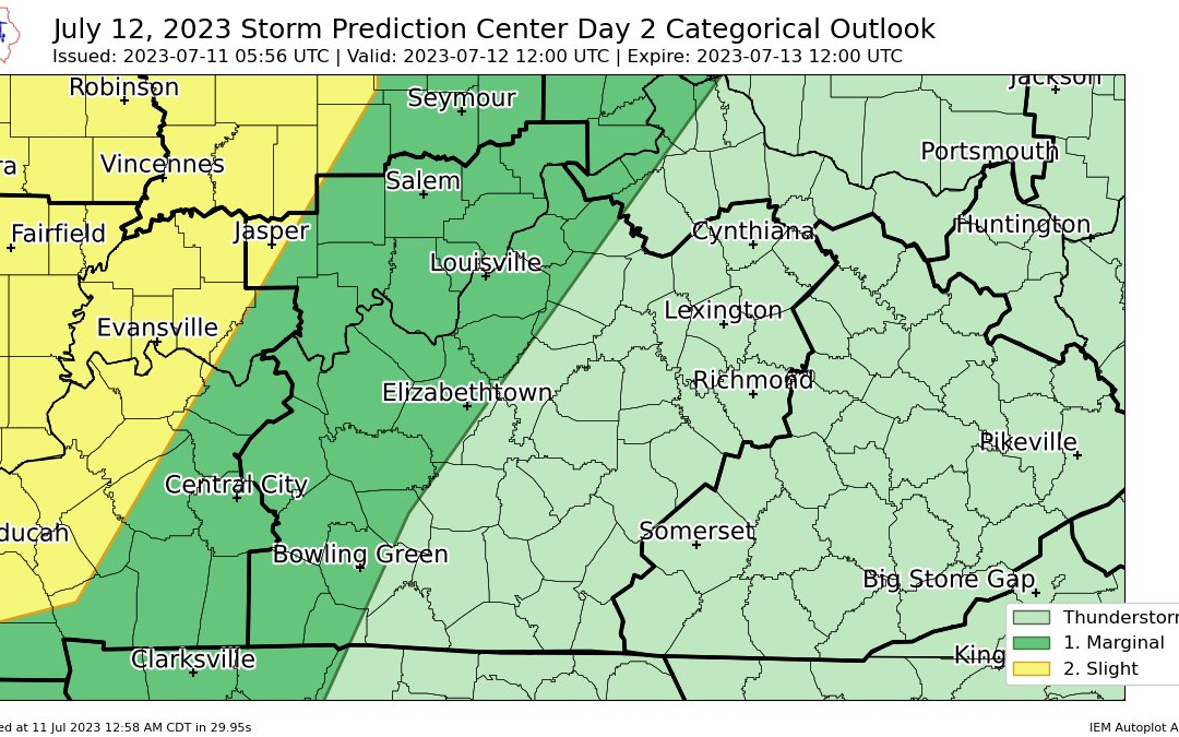
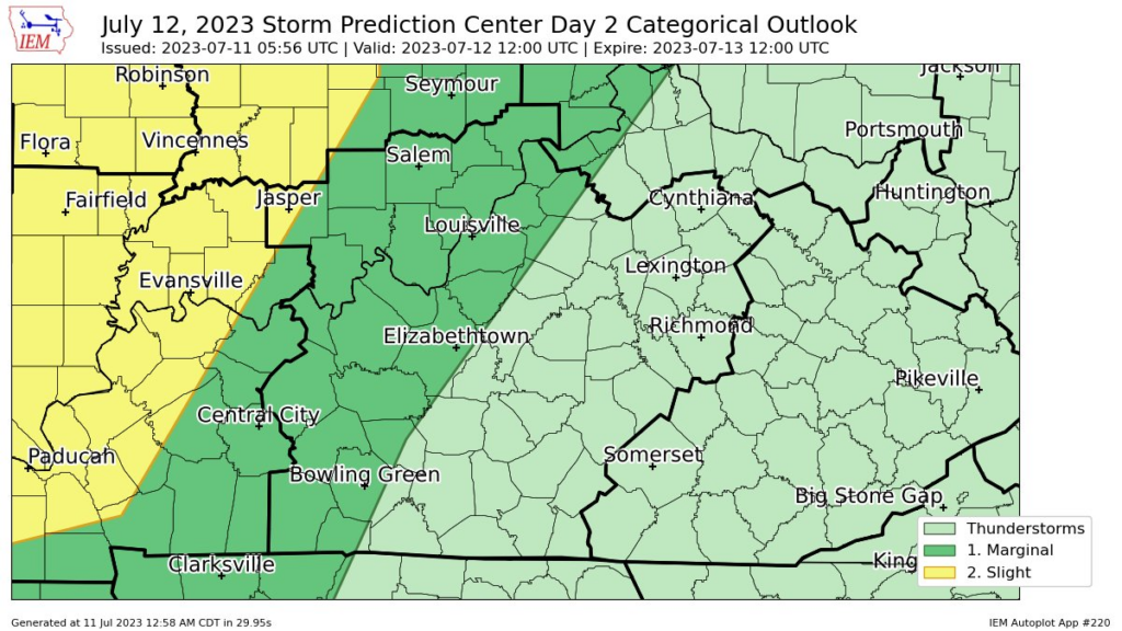
The SPC has WABBLES split in half by a Marginal Risk (level 1/5) for severe weather, but severe weather is very questionable with this event.
On and off rain showers/isolated thunderstorms will remain in the forecast to close out the work week, so keep this in mind when making any outdoor plans.
That will be all for this blog post folks! I hope everyone enjoys the nice summer weather before rain and storms arrive. As always, I reccommend everyone check out our social media accounts @wxornotBG for further updates.
Have a blessed day!