Good morning WABBLES, Happy Thursday! I hope everyone has had a nice few days, especially with the clear weather. I wish we had better news, but today will have some afternoon storms and be very warm. These summer storms just won’t let up!

“Cold” Front Heading Our Way
A frontal system will be heading towards the WABBLES region and through the Ohio Valley throughout the day, and with convection possible as well, making the possibility of storms increased. The National Weather Service also notes that there is also potential for “locally heavy rainfall” due to sometimes slow moving or stationary fronts.
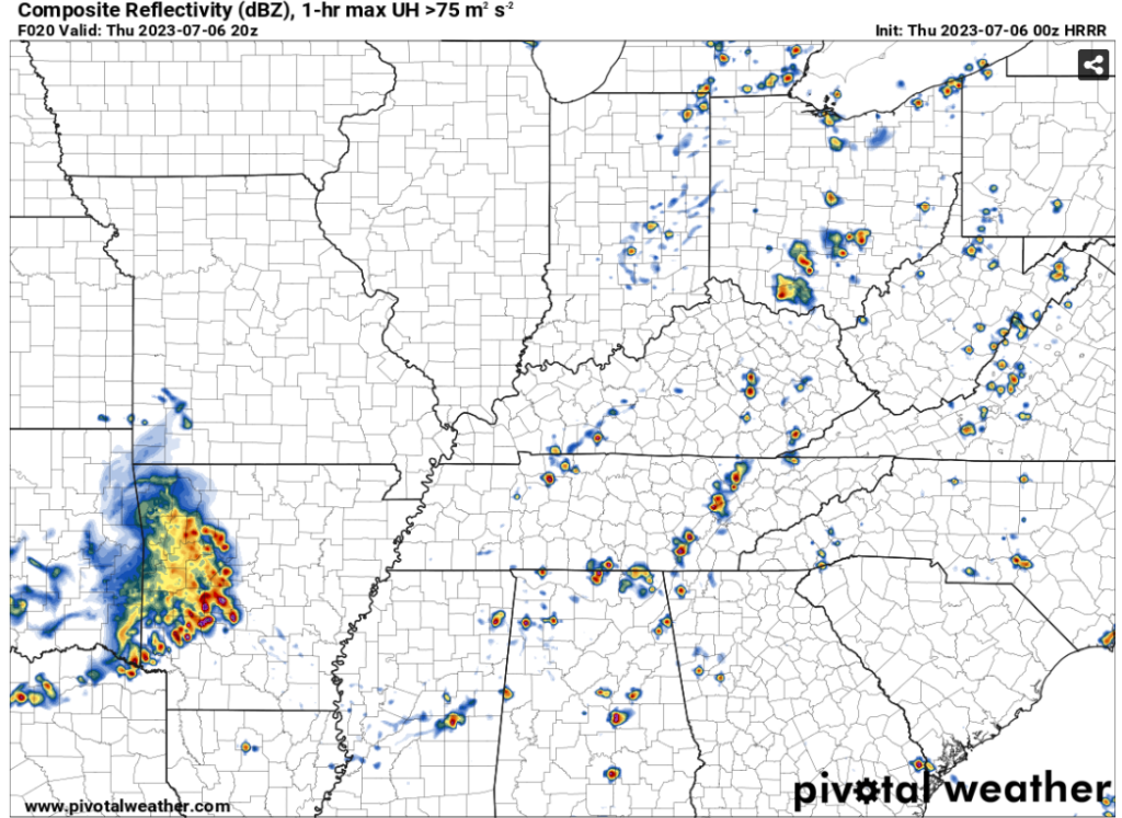
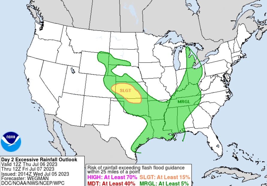
While we can expect these storms, it is important to remember the national weather service is not particularly expecting any severe for our region today. Relating to the NWS note of potentially heavy rainfall, the WPC (Weather Prediction Center) has WABBLES under a marginal (at least 5%) of excessive rainfall. Aside from these predicted storms, WABBLES will be partly sunny a majority of the day.
Rain Chances Heading Into The Weekend
Starting around noon Friday, rain chances will remain around 30% along with the possibility of a storm or two as well. The dependability of this will be on the amount of heat we get as well as our dew points. However, Saturday looks more promising for more storm and rain occurrences. A nearby stationary front will linger, making us more prone to heavy rainfall as well.
Sunday will look a bit more calm storm wise, with the chances of rainfall being much higher. Rain will be intermittent throughout the day with temps still in the 80’s.
That’s all for today everyone! Don’t forget to follow our social media for up to date weather info, updates, watches and warnings. Have a good thursday WABBLES!