

Happy 4th of July to all of my friends out there across WABBLES! I hope everyone out there is having a great start to this wonderful holiday and are ready for some fireworks this evening.
Fireworks Forecast
Today we can expect the usual pop up thunderstorms around the region during the afternoon and evening. These won’t be too widespread or intense, but they will be something to keep an eye on for outdoor plans.
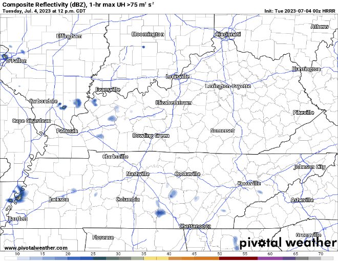
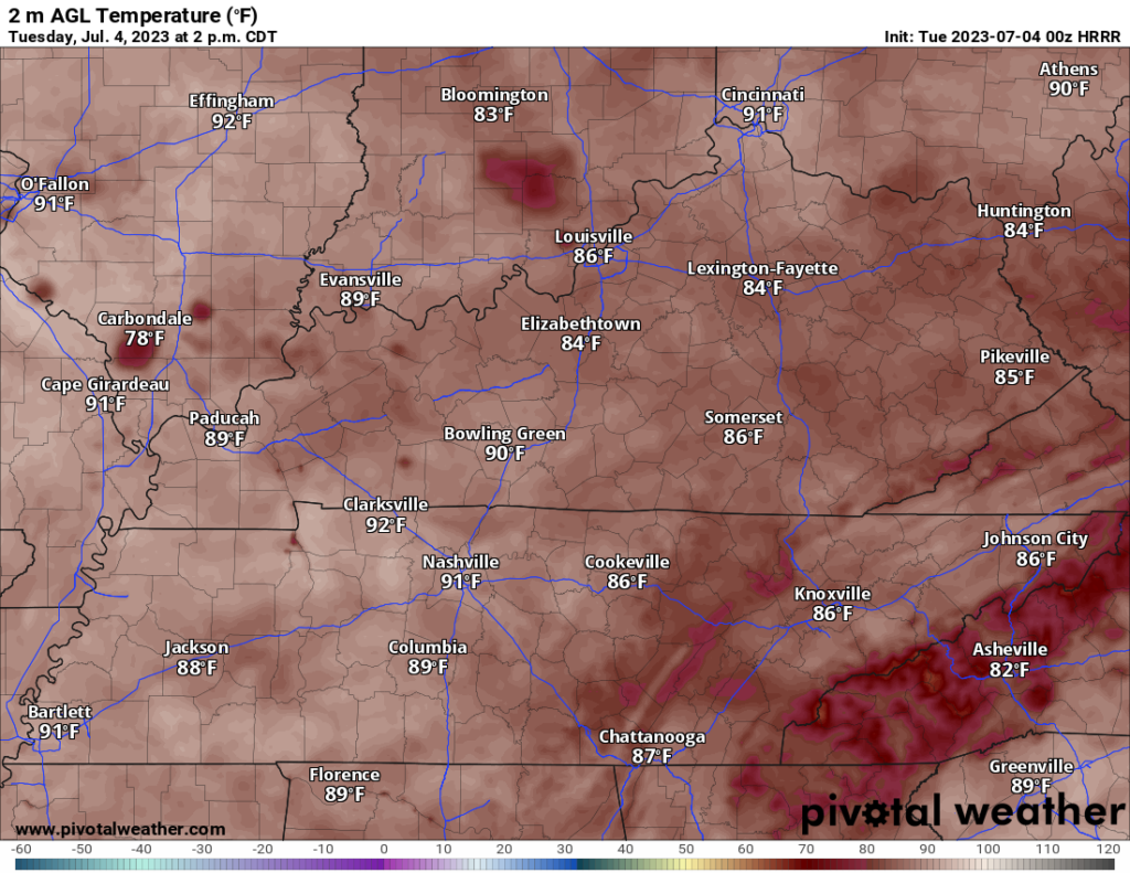
Storms should very quickly die off as the sun sets and the Earth cools, effectively shutting off the fuel supply for the storms, leaving to good conditions for fireworks. Highs will top out in the very low 90s, so be sure to stay cool out there!
The Return of More Storms
Wednesday Night will feature the return of more storms, some possibly strong to severe. The timing on these storms is still getting ironed out, but it looks to be well into the evening/overnight hours.
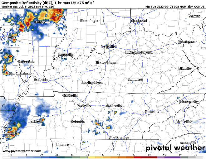
The strength of these storms is also questionable as we will be dealing with these storms as the sun goes down, so they will need some “extra support” to keep going that late.
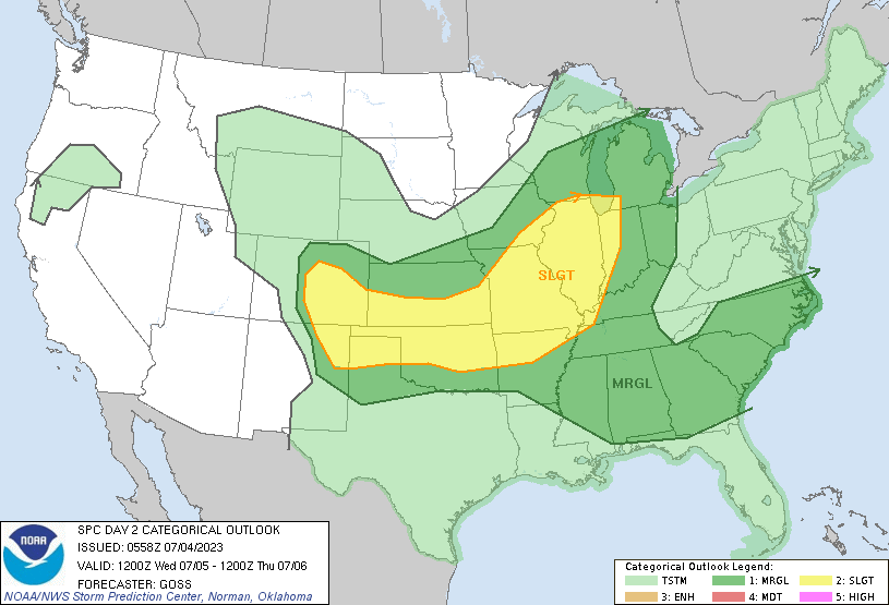
Regardless, these will need to be watched for further updates. The SPC currently has WABBLES in a Marginal (level 1/5) Risk, primarily for damaging wind gusts.
That will be all for this blog folks! I hope everyone has a wonderful and patriotic 4th of July and that everyone is safe out there. For last minute firework forecast updates, keep it tuned to our social media accounts @wxornotBG.
Have a blessed day!