

Happy Tuesday Morning to all of you out there across WABBLES! I hope everyone had a great start to their work week and are ready for more excessive heat that’s on the way.
Severe Weather Recap
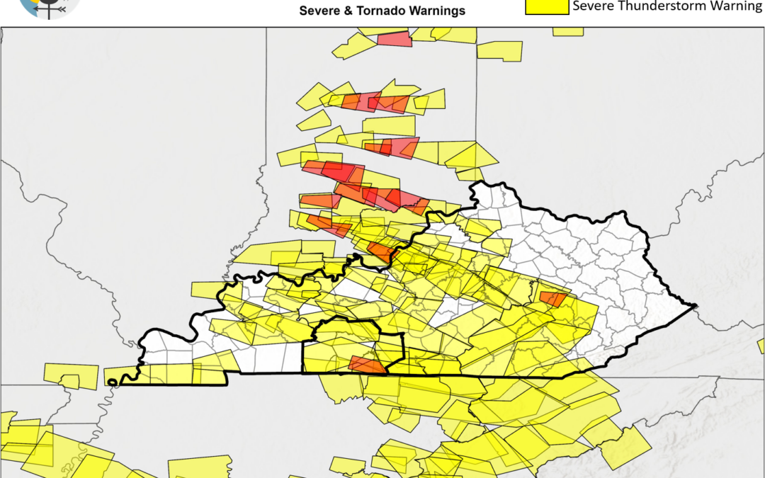
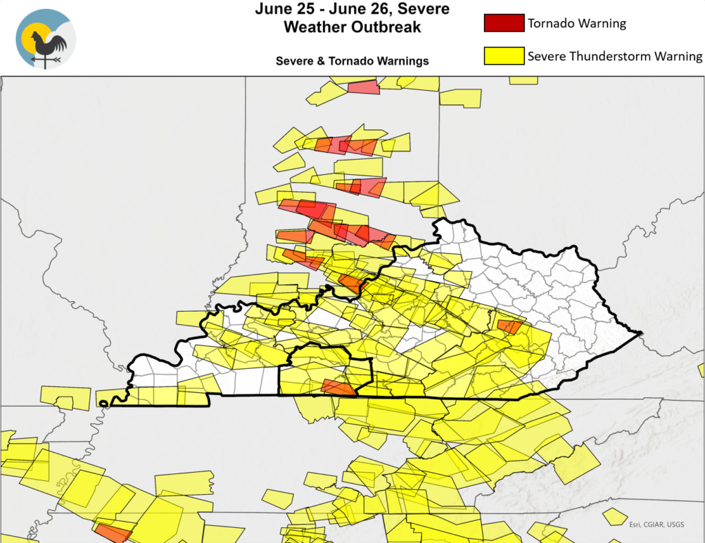
So Sunday Night into very early Monday Morning, WABBLES experienced another severe weather episode. The National Weather Service is continuing to send survey crews out to investigate damage reports across their forecast area.
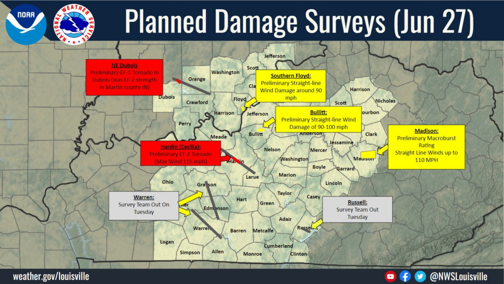
WABBLES will be seeing two of these damage surveys, primarily in Warren and Edmonson Counties. Damage will be investigated to determine the cause, whether it be a downburst/straight line winds or tornadoes.
Regardless, a whole heck of a lot of warnings were issued across the region that night. In fact, just a few slivers of WABBLES managed to stay out of warning polygons.
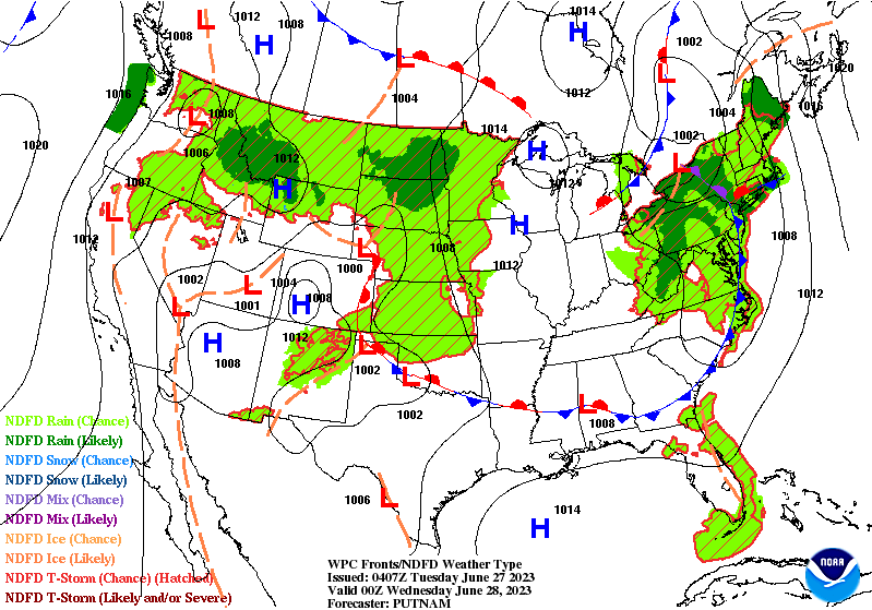
Quiet Start of the Week
So the forecast for today and tomorrow is quite simple, highs in the upper 80s and plenty of sun, that’s pretty much it. High pressure will be running the weather over the region until Thursday, so expect some nice weather until then.
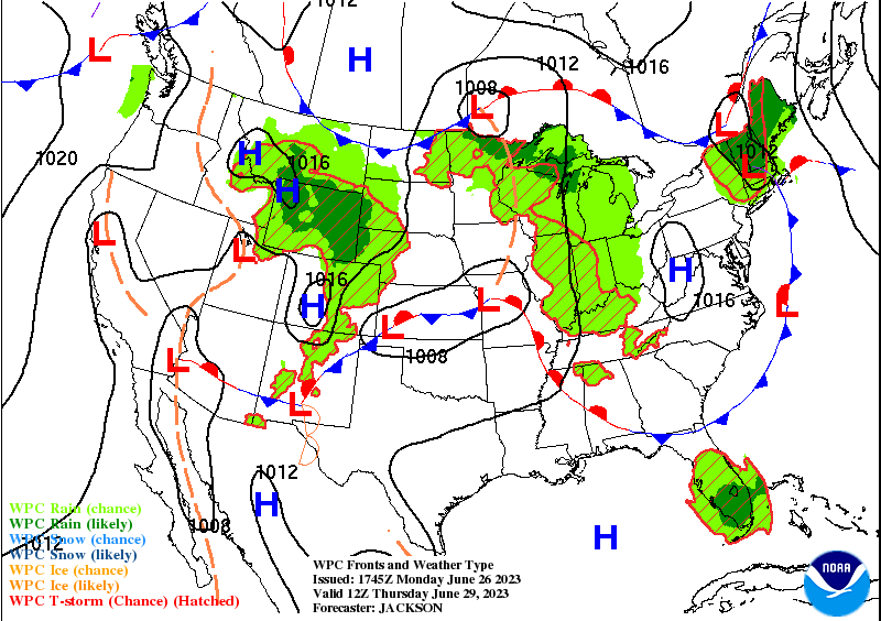
The Blistering Heat Arrives
Come Thursday, the high pressure that was keeping us clear will erode and a warm front will begin to approach from the south. This will increase highs to the mid to upper 90s for the second half of the week as well as bring more rain and storm chances.
That will be all for this blog post my friends! I hope everyone can stay safe with the heat that’s coming and can enjoy the nice weather. For further updates, please follow us on our social media sites @wxornotBG.
Have a blessed day!