



By the calendar, we’ve been in winter for a month and a half now. By the axial tilt, it’s been less than a month. Either way, the second half of January into the first half of February is often the core of an Ohio Valley winter and it appears Mother Nature could be right on time as we head into the weekend.
Cooling Quick: Friday and into Friday Night
Our thermometers have been getting a workout this week as temperatures surged up near 60 earlier this week, only for winter to return with a vengeance. As it turns out, this may just be Old Man Winter knocking on the door.

Thanks to our midweek cold front and clear skies overnight, we’re starting this Friday morning positively, if not excessively cold. Upper teens to lower 20s appear to be the name of the game as we head off to work and school.

However, southwesterly winds will take over as we head through the day, which should help us improve those temperatures from a chilly start to a not-too-bad finish. Perhaps even flirting with the upper 40s to nearly 50º!

However, clouds will be increasing during the late hours as we watch another system get ready to dive in in our northwest flow pattern. A good ol’ Alberta clipper.

This system probably won’t have a ton of moisture to work with, but it should have just enough along with plenty of cold air to generate some flurries or snow showers during the overnight hours. A festive looking snow as we head into our latest holiday weekend! Lows should settle back into the lower 30s.
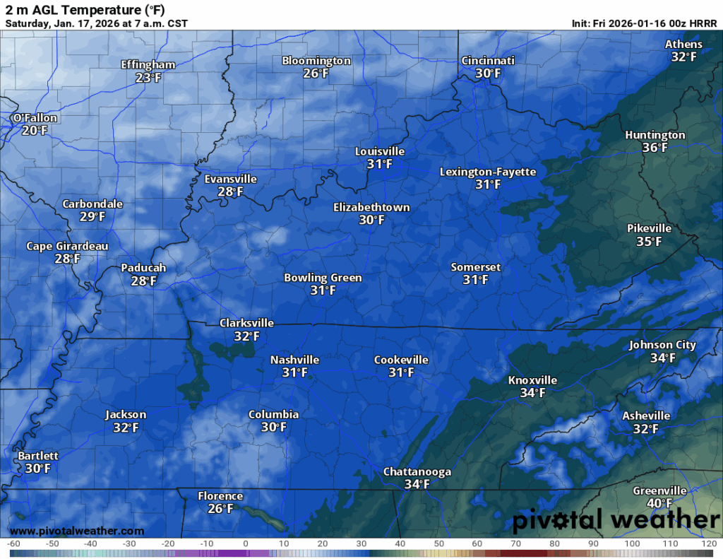
Little Warmth: Saturday and Sunday
Our Friday clipper will still be plaguing us with decoration flakes as we get up on our Saturday morning. Ideal for standing by the window with your favorite cup of coffee or tea and contemplating the morning.

Despite the system moving out, we’re not exactly in for a warm day on Saturday, as we are still in the grips of northwesterly flow. So while the snow is gone and perhaps we see a little sunshine, we’re not looking at a warm day.
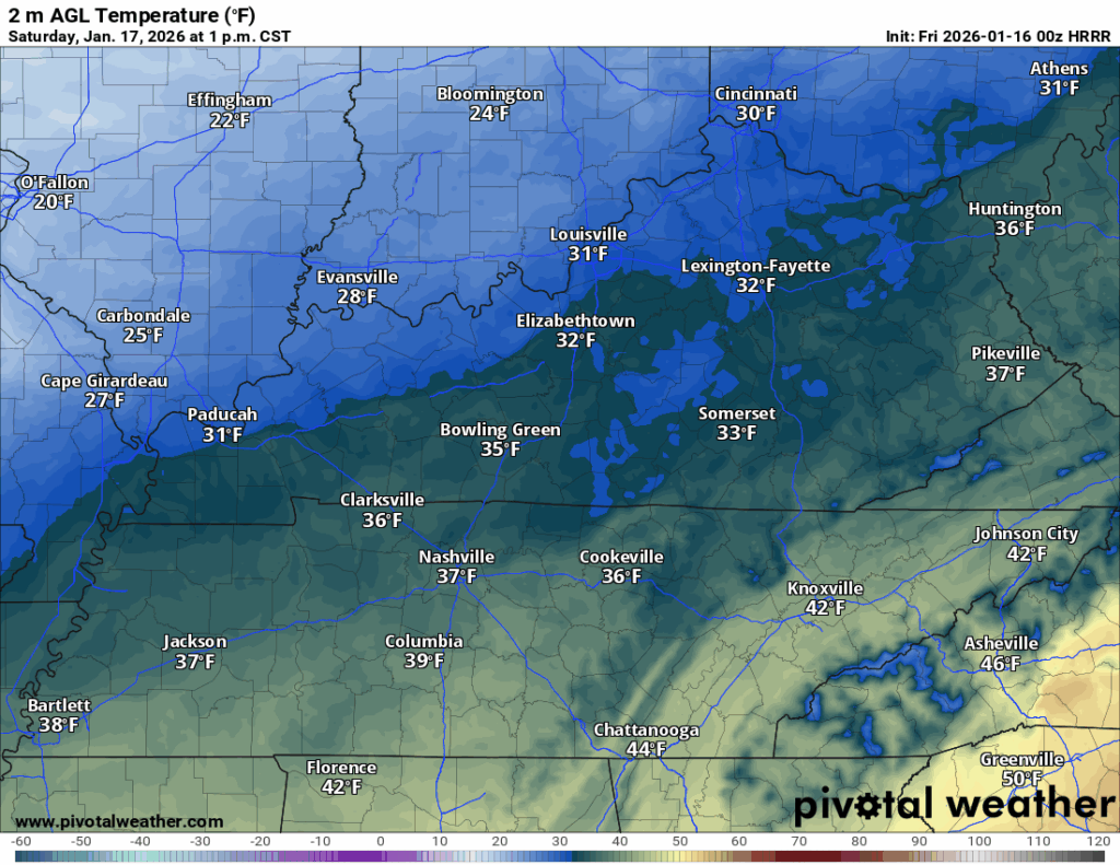
Highs will make it above freezing, but not by much. It looks like afternoon temperatures may only make it into the middle 30s.

Clouds continue to increase overnight, though I think the best chance for snow showers or flurries will sneak off to our north. Even with the clouds, we’re back in the deep freeze, with lows back in the upper teens to near 20º if clouds move in earlier.
We’ll be back to sunshine on Sunday as our latest disturbance pushes out. However, that latest disturbance will have switched those winds around quickly, keeping us from warming too much.
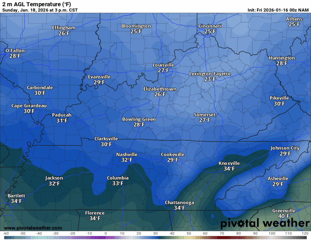
Highs may struggle to get out of the 20s during the day, with the warmest spot making it up to near 30º. At least it’ll be sunny!

Despite high pressure settling in overnight, we will see a few more clouds…but that won’t hurt the chill any! We’re back into the middle teens during the overnight.
The Trend Continues: Into Next Week
It’s continuing to look like a “stay inside and warm” type of day on Monday, convenient as it’s a holiday!

We’ll stay in the cold air pattern, but at least we’ll briefly enjoy some high pressure calming us down.
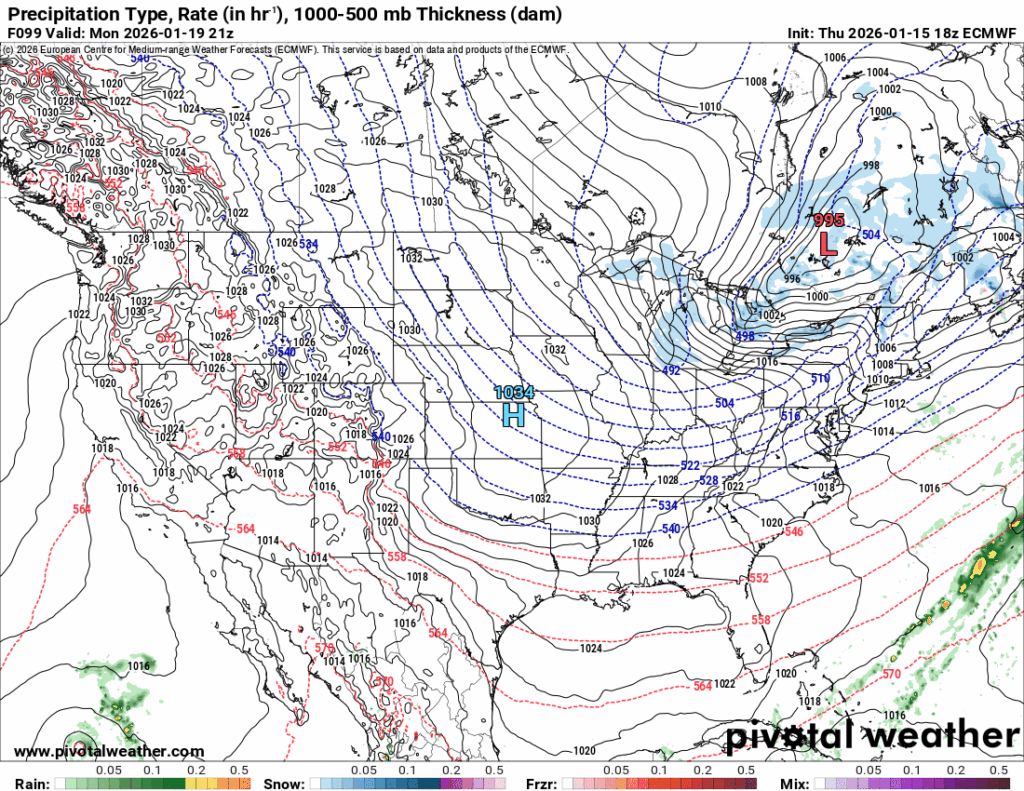
While we’ll see some semblance of sunshine in the afternoon hours, it won’t do a ton to warm us up. Highs look to only make it into the middle 30s. Hey, at least we’re above freezing!

However, the sinking air and clear skies overnight will absolutely allow the mercury to plummet past dark. We’re talking lows back into the middle teens, with wind chills perhaps in the upper single digits. Yeah. YEAH.

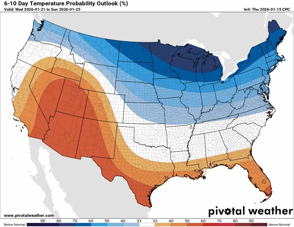
The dry pattern continues into Tuesday as we watch our next system beginning to get its act together out west. Safe to say, we’re watching an active and cold pattern as we work through next week. We’ll keep highs in the 30s as we attempt to moderate lows back into the 20s.
That’s it for me for now! You can always keep up with the latest on all of our social media platforms. Have a tremendous day and a great weekend!