



The weekend is upon us once again in WABBLES, and many of us are longing for some time on the water, be it in the pool or on the lake. Unfortunately, we’ll have to keep an eye out for showers and storms that could darken our waterways.
More of the Same: Friday and Friday Night
The pattern remains quite stagnant across the region, as is so often the case in mid-late July.

The Bermuda high remains anchored over the coast, keeping heat and humidity across much of the southern tier of the country. At the same time, we’re watching some weak disturbances riding the weak flow just to our north.
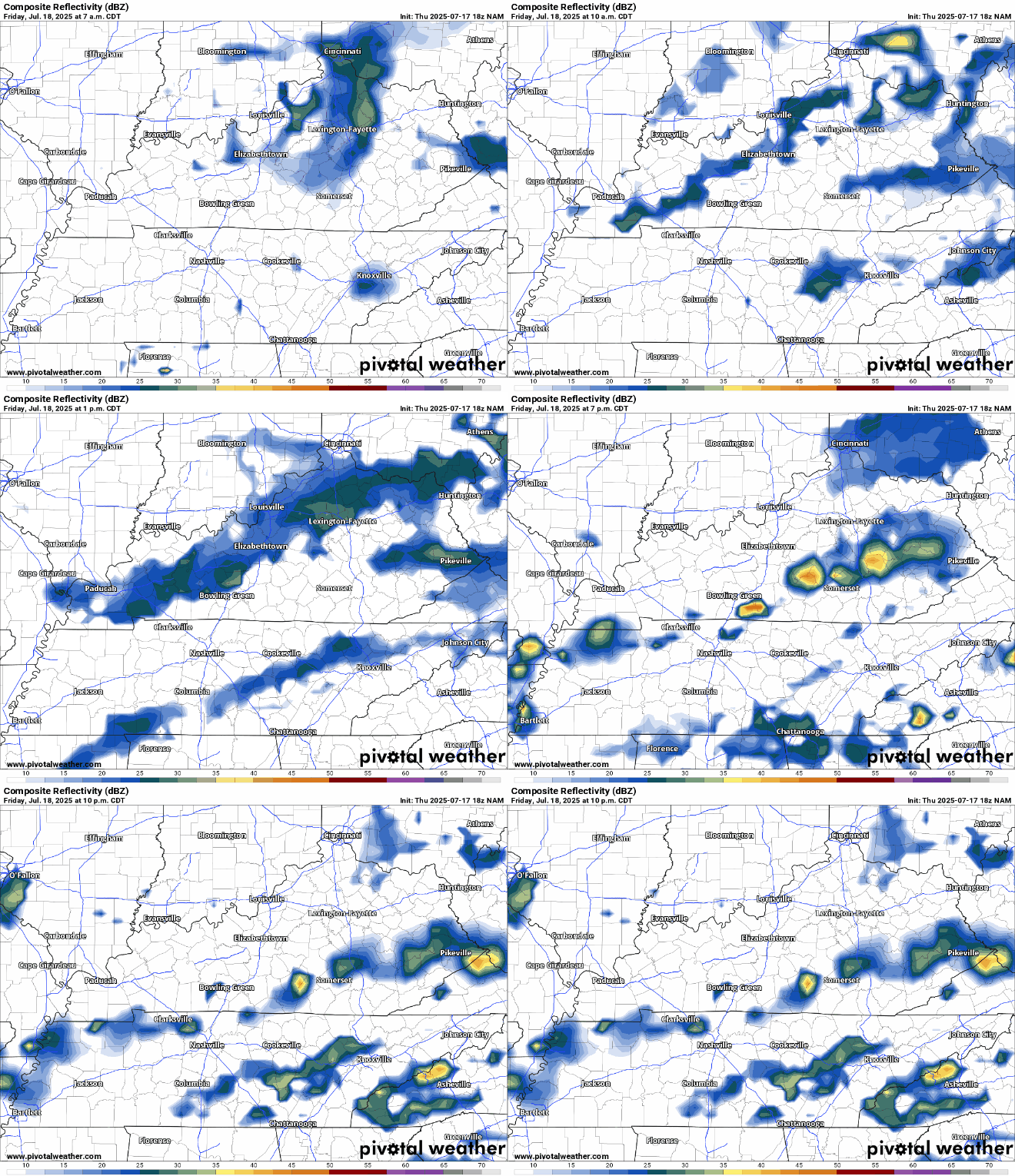
This will, yet again, mean renewed chances for scattered showers and storms bubbling up in the heat of the afternoon. Highs yet again percolate up into the upper 80s to near 90º.
We’re not looking at much movement with these storms, so they may sit there and dump heavy rain on one spot, and may provide some brief gusty winds, but widespread severe weather is not expected. A few storms may linger past sunset but it will remain muggy with lows into the lower 70s.
Keep it Going: Into the Weekend
More of the exact same continues as our record remains broken.

Heat and humidity continues unabated as we head into Saturday, as we watch another disturbance attempt to sideswipe the Ohio Valley.

Sunshine in the morning should warm us up as we quickly bubble scattered showers and storms in the afternoon. Not only that, but we’ll be watching things off to our north. This disturbance will likely kick off a complex of thunderstorms to our north across the Great Lakes states. We’ll need to keep an eye on those should they decide to dive this way.
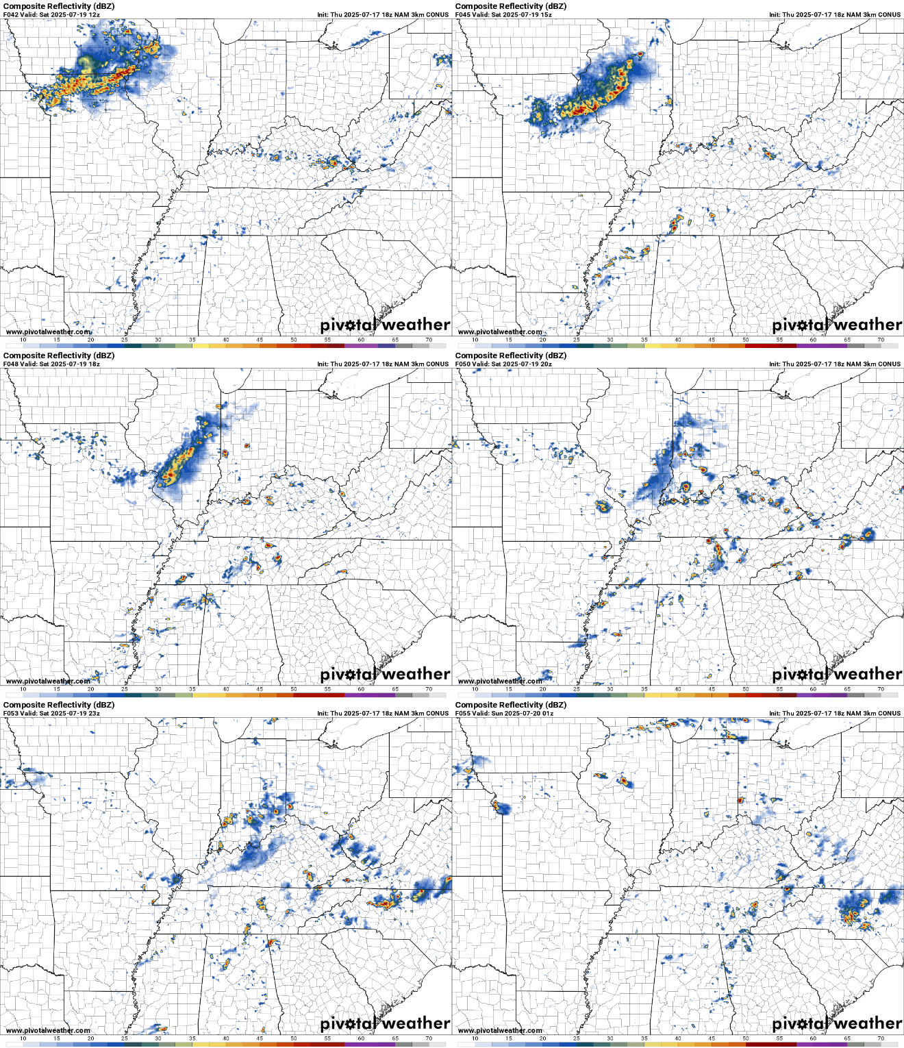
We’ll likely see a reduction in coverage overnight, but I don’t think we completely drop storm chances, with lows only making it down into the middle 70s.
And it’s looking like more of the same on Sunday.

Just like previous days, we’ll wake up to a mix of clouds and sun that should help temperatures quickly climb up into the lower to middle 90s, along with our typical oppressive humidity. That should once again yield scattered showers and thunderstorms in the afternoon.
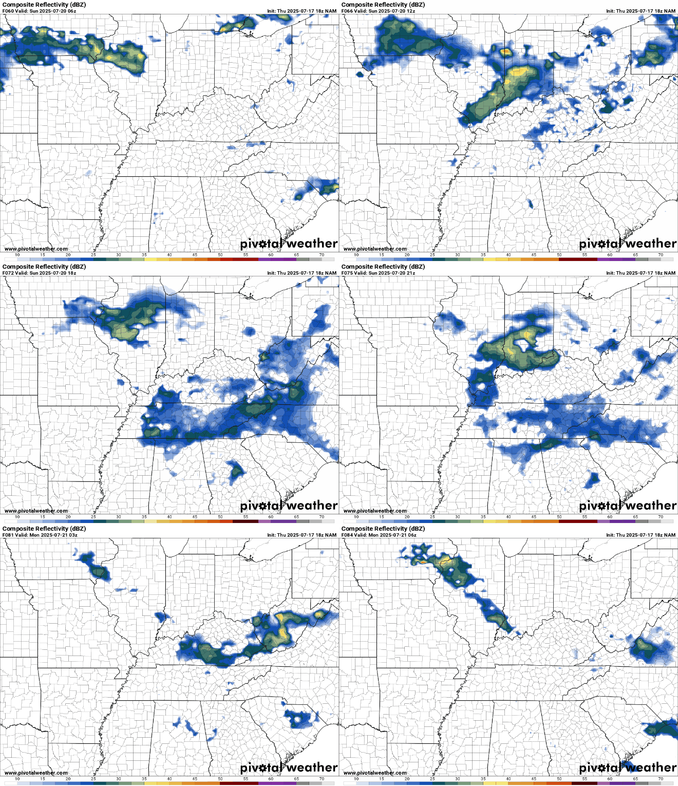
Like the previous days, widespread severe weather doesn’t appear to be an issue, but any storms will likely have a lot of water with it, so localized quick flash flooding isn’t out of the question, along with quick gusty winds. You know…summer storms.

Typical overnight humidity as some storms look to roam about the region. We’re only back into the lower to middle 70s overnight.
You Guessed It: Into Next Week
Things aren’t changing a whole lot as we head into next week. The pattern remains gummed up by the general persistence of the Bermuda high combined with most of the upper flow being shunted off to the north. This means…well…

We are locked on 91.3 DF (degrees fahrenheit), where the weather is hot and the music is…well, smooth jazz just to keep people calm before the heat drives them nuts. We’ll watch showers and storms increase in the afternoon as usual, some of which could contain some heavy rain.
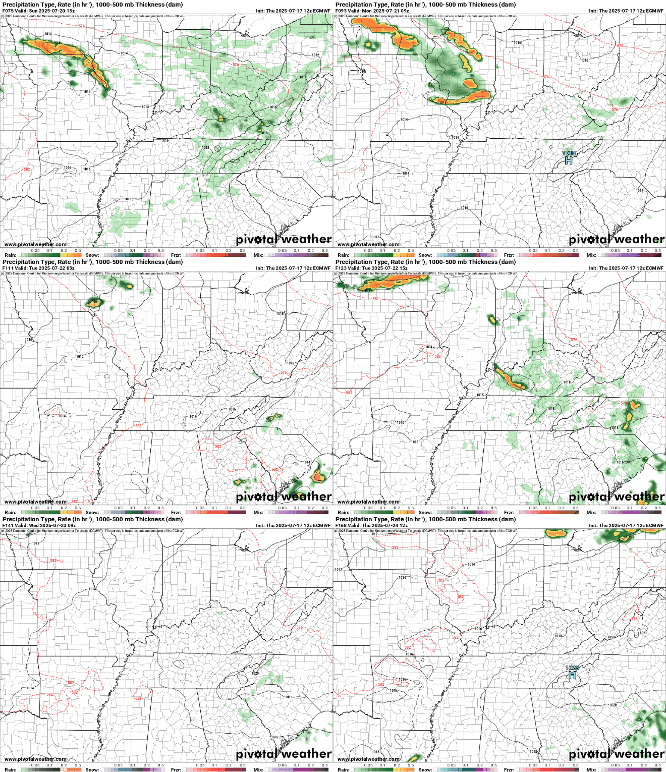
This general pattern looks to continue as we head toward the midweek, setting up for more of a ring of fire set up. Meaning we’ll have to watch for repeated rounds of potential heavy rain and storms as they blossom across the Midwest and attempt to ride the edge of the ridge of high pressure right into our region.

That’s it for me for now! You can always keep up with the latest on all of our social media platforms. Have a tremendous day and a great weekend!