



The dog days of summer have arrived here in WABBLES, and that means continued heat, humidity, and daily storm chances.
Heat and Humidity Continue: Friday and Friday Night
A stationary boundary remains draped across the region, and in our predictably hot and steamy environment, that will equal continued chances for afternoon showers and storms.

As highs in the afternoon climb up into the upper 80s to near 90º, we should see afternoon showers and storms blossom up once again.
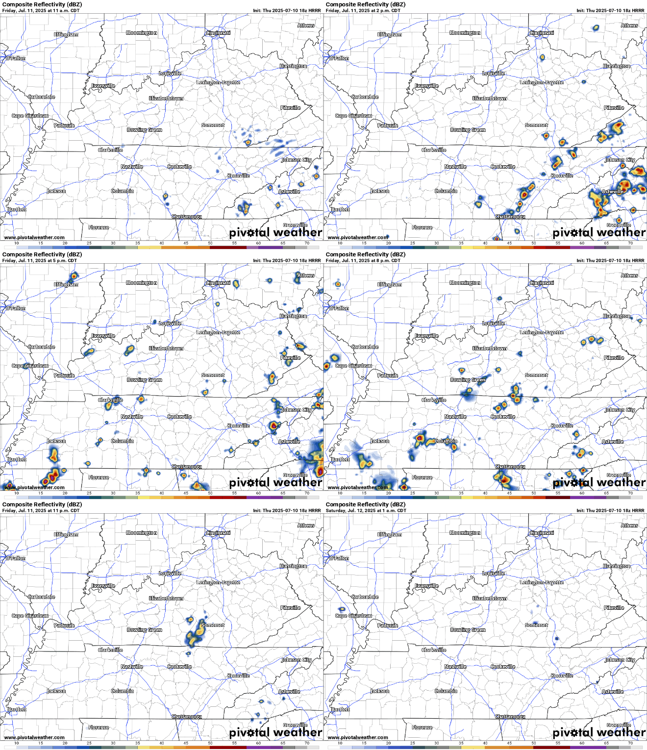
We’ve got plenty of heat and humidity, but not much to steer these storms. It won’t take much for one to drop a lot of rain in a short period of time as they linger and rain themselves out, which also carries a threat for some brief gusty winds.
Anything that manages to pop during the day should fall apart as we lose the daytime heating overnight. We’ll settle back to a buggy low in the lower to middle 70s.
Doing it Again: Into the Weekend
No big difference in the weather pattern, even though we’ll move a few players around the field by the time we get to Saturday.

The frontal boundary that plagued us on Friday should lift north and act as a set of train tracks for the next disturbance to ride along. As it takes its sweet time on an Amtrak train of it’s choosing, it will attempt to drag some semblance of a frontal boundary through the region. This will result in, you guessed it.

That’s right, more showers and storms bubbling up in the heat of a dog day afternoon. As highs surge back into the lower 90s, we’ll see the pesky precipitation begin to light up our radar screens and skycam network.
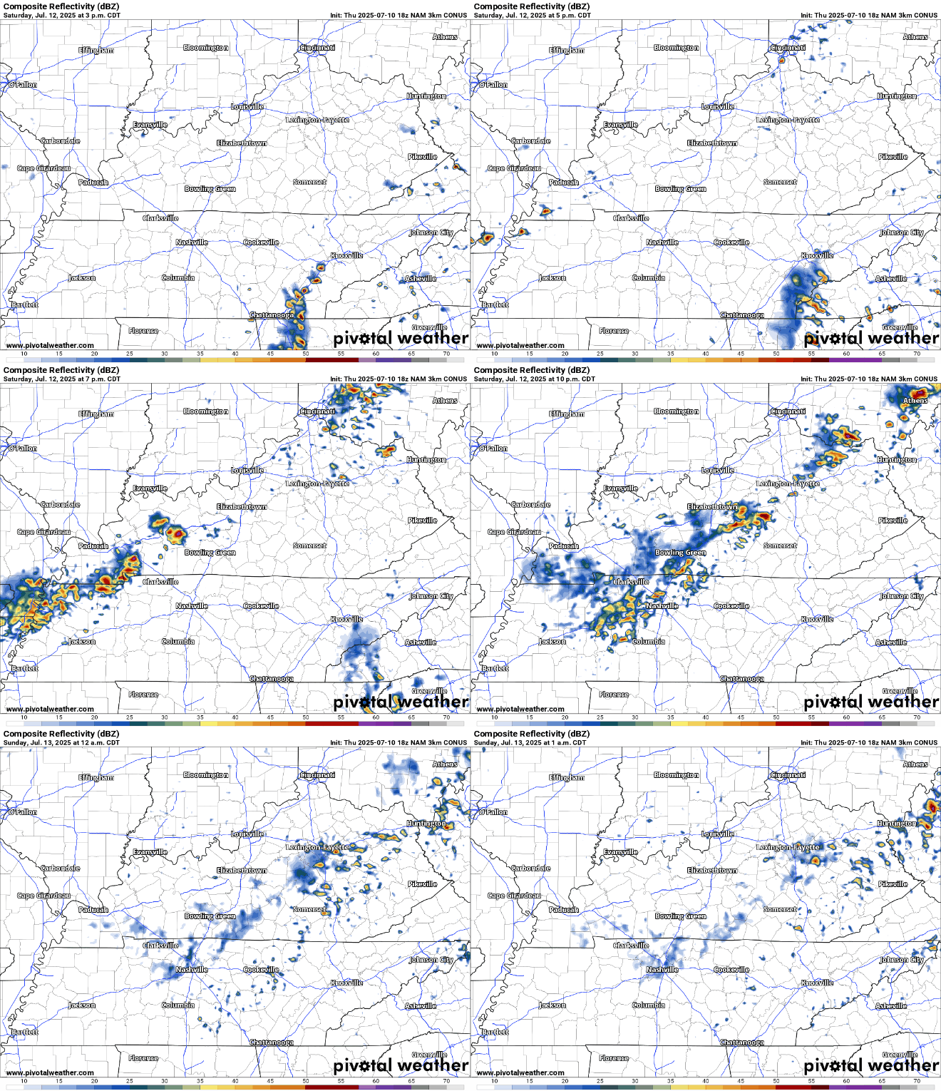
As usual, widespread severe weather is not expected, but any storm can briefly produce some strong winds and heavy rain, especially if they sit over one spot long enough. Storms should slowly diminish as we head past sunset and into the overnight hours where another sultry nighttime low in the lower to middle 70s awaits us.
Much the same on Sunday!

The pattern seems never ceasing this time of year, and that continues to be the case here in good ol’ 2025. Morning sunshine should heat us up into the lower 90s, and with dew points approaching 70º, we’ll have plenty of moisture to work with again as showers and storms once again blow up in the afternoon.
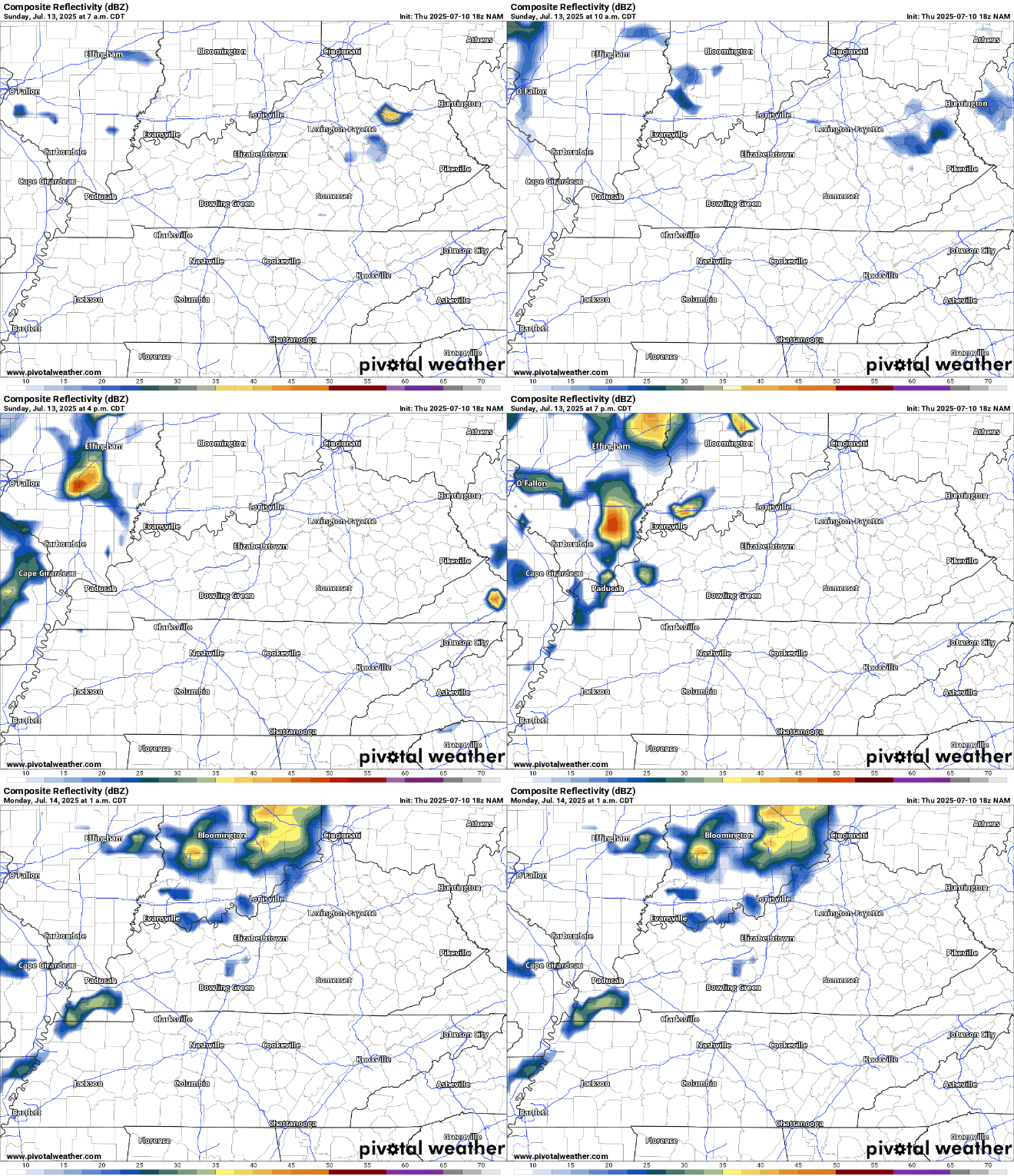
The broken record-type forecast is not lost on this meteorologist, who is getting increasingly ready for football season (continuing a long tradition of abandoning hope in our local professional senior circuit baseball team by the season’s symbolic midpoint).

Anyway, the only Scott Hanson I’ll get on this afternoon will be in my memories as summer continues to reign supreme. Our solace here is that at least showers and storms should diminish overnight, with lows back near 70º.
Much the Same: Into Next Week
It would appear that this broken record ain’t getting fixed any time soon.

The pattern continues mostly unabated as we head into the early parts of next week. Monday and Tuesday should feature plenty of heat and humidity, with highs back into the upper 80s to lower 90s and heat indices in the mid 90s. Any weak disturbances, or even just the daytime heating, would easily pop-up more showers and storms.
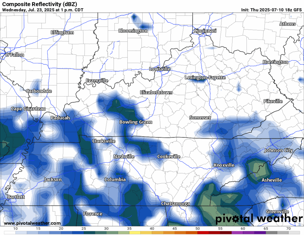
Anything that develops in the afternoon would have heavy rain and brief gusty winds, but widespread severe weather isn’t expected. Anything falls apart after dark as lows drop back into the lower 70s.
Models continue to hint at the potential for an actual cold front to try to sweep through the region as we head into the later stages of the week, but it’s still much too early to know for certain, other than it would appear our rain chances aren’t going anywhere anytime soon.
That’s it for me for now! You can always keep up with the latest on all of our social media platforms. Have a tremendous day and a great weekend!