

")
Good morning folks! After a very long stretch of active and relentless weather, we finally have a break coming up. Not only that, but we will have a bit of a cool down before the heat returns.

The Week Ahead
High pressure builds rapidly this week, starting today. This will keep any major weather systems out of the region letting us all breathe a sigh of relief and take a break
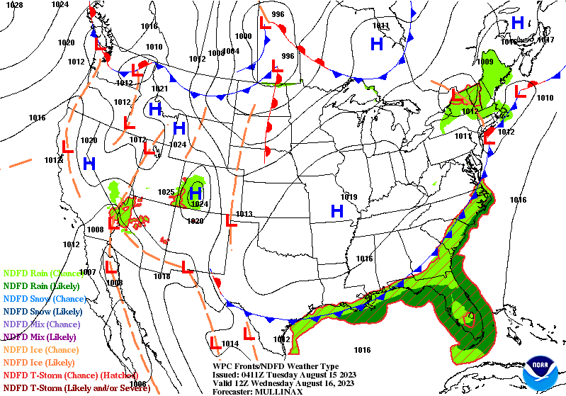
High pressure will also keep us mostly sunny throughout the week, so expect some beautiful skies as summer beings to draw to a close for many of us.

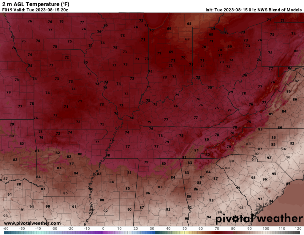
Perhaps the best part of this week will be the temperatures. Starting today, highs will be in the mid 70s and gradually increasing every day until we are in the mid 80s by Friday. Overall, very enjoyable and mild for this time of year.
Upcoming HEat
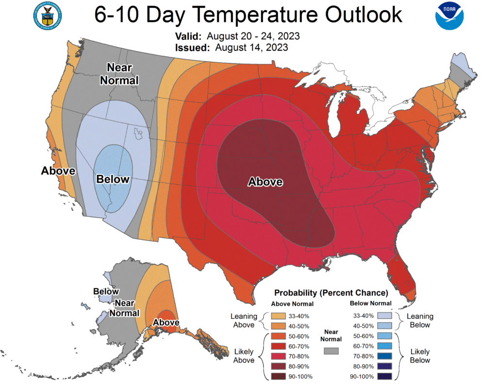
Although this week will be quite nice, we can expect some very hot conditions in the 6-10 day timeframe. The CPC has quite the likelihood of exceeding normal temperatures in this timeframe. It is unsure how bad things will get, but I would be prepared to at least see those triple digit heat indexes back.
That will be all for this blog post folks! I hope everyone has a great rest of the week and enjoys the nice weather. I encourage everyone to keep up to date with the weather by following us on our social media accounts @wxornotBG.
Have a blessed day!