Good Monday morning, fellow WABBLERS! We’re in for a bit of a rude awakening today, as I am sure some of you can already tell. Though we’ll be dry by this evening, a wave of strong to severe storms is expected to push through the region beginning early on this otherwise pleasant August Monday. We’ll break down the exact timeline and everything you need to know right here in today’s forecast blog!

Today’s Forecast
Our main headline today will be— yep, you guessed it— the active pattern that has continued to provide the WABBLES region with ample thunderboomers over the last week or so. In addition to some morning storms, today’s high temperatures will remain up in the high-80s, with most of us seeing mid-60s for lows after sundown tonight. As mentioned earlier, we’ll be dry to close out the evening, but not before we deal with a potentially nasty line of convection that will move into our area beginning around sunrise this morning.
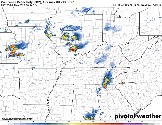
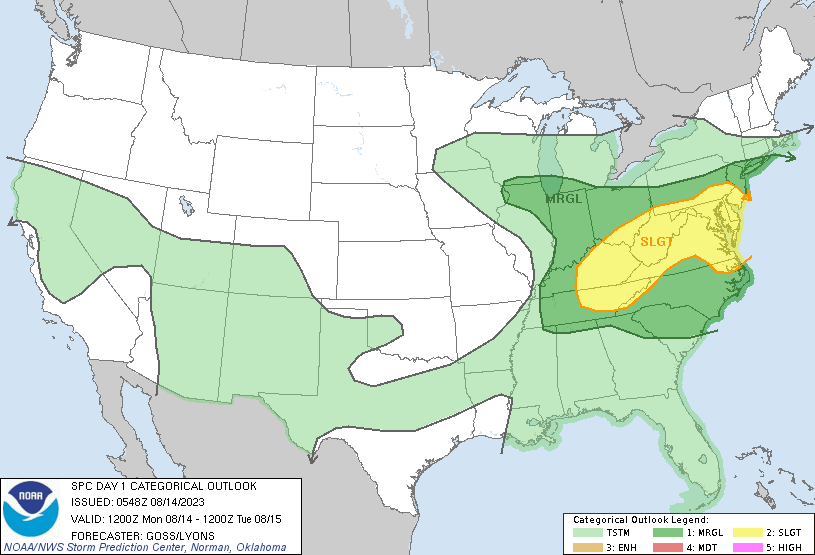
Though this line is expected to weaken as it passes through WABBLES, some of us may still be rudely awoken by some loud thunder and gusty winds. Spotty shower chances will linger behind the band itself and last into the afternoon, but for the most part, we will be drying out come nightfall here in Southern Kentucky. Regardless, the Storm Prediction Center has issued a Slight Risk (2 of 5) of severe storms for the eastern half of our WABBLES counties, so it’s pertinent that we pay attention during the morning commute today and take necessary action if a weather warning were to go out.
Do we Stay Dry This Week?
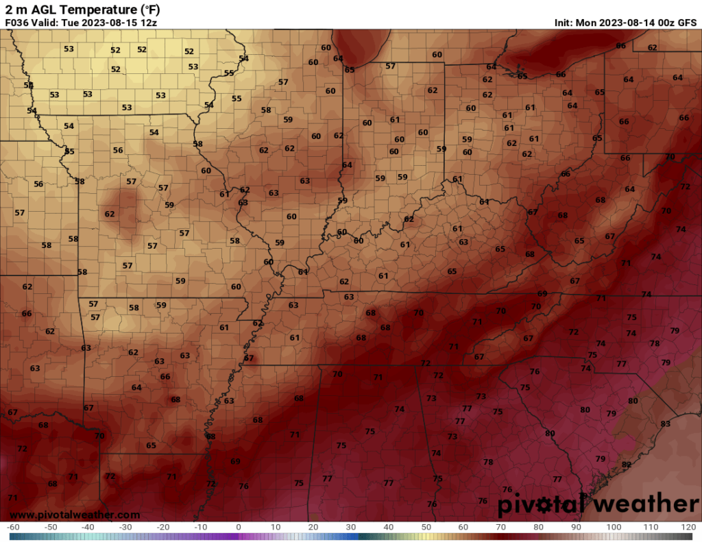
Good news; we believe so! We’ll be seeing a pretty drastic cooldown following that line of foul weather as it pushes to the east, and as a result, our weather will be keeping pretty calm through Friday night. Most of us can expect to see temperatures hang out around the mid-to-high 70s on Tuesday and Wednesday, with a slow increase back up into the mid-80s into the weekend. Otherwise, no major precipitation is expected, so it’s certainly a good time to get all your summer activities done before that stifling heat makes its return next week!
That’s all we’ve got to talk to you about today, WABBLES folks! Please make sure to stay weather aware this morning as these storms make their way through town; all it takes is one gust of wind or lightning strike to put someone in harm’s way, and that’s the last possible thing we want for you guys here at wxornotBG. Until tomorrow, stay tuned to our Twitter page, stay dry out there, and take care of yourselves!