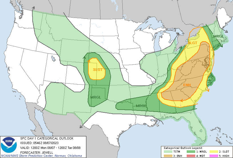
Happy Monday morning, WABBLES crew! Despite some morning shower chances, we’re pleased to report that the most severe storms will keep primarily to our east today. As of 1 AM on August 7th, the Storm Prediction Center has our area outlined mostly under a general thunderstorm risk, with portions of Barren and Allen counties clipping into the Marginal (1 out of 5) risk. This is subject to change, however, as the day goes along— so make sure to keep an eye on our Twitter page so that you don’t miss it when the latest updates come out!
Today’s Forecast
We’re staying warm today, with high temperatures expected to top out in the mid to high-80s by late afternoon. Most of us will see a big-time cool-off this evening, however, with mid-60s temperatures and a light breeze helping to ease the discomfort of the humidity.
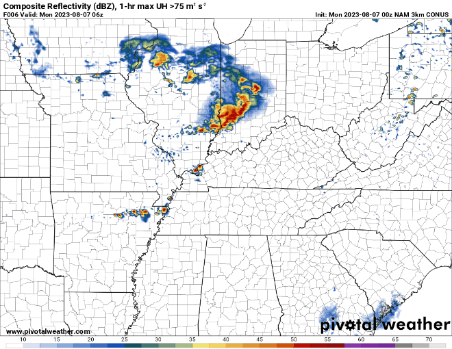
The best chance for most folks to see some stronger showers will be before noon, with some other potential sprinkles scattered throughout the region after 1 or 2 PM. As mentioned earlier, a majority of the action will be firing up to our east right around the early afternoon, so those of you with friends or family in Eastern Kentucky should reach out today and make sure they’re weather aware ahead of the more severe storms.
Any Severe Storms Later This Week?
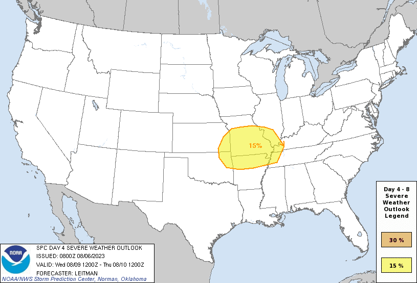
Currently, we don’t think so; however, the Storm Prediction Center has already issued an uncommon Day 4 Slight (or 2 out of 5) risk of severe weather just to the west of the WABBLES mainland, so we’re definitely keeping an eye on that. Since we’re so far out and our convective models have a difficult time handling summer systems, we’ll be able to update you in more detail when mid-week rolls around— but what you should know is that Tuesday will likely be our only truly dry day before the weekend.
We’re entering back into a more active pattern, folks, which I believe is made evident by the frequency of the weather we’ve been seeing over the last several days. But it’s okay, because no matter what the forecast turns out to be, we’ll be covering it for you live and here on the blog every morning! Until tomorow, stay safe out there WABBLES, and take care of yourselves!