")
Good Monday morning, WABBLES! We are gusty, dry, and incredibly warm to start off our first full week of March here in Southern Kentucky; but that isn’t exactly the story for the next several days, as wet weather will quickly move back into our area beginning tomorrow. A strong south wind will lift some additional cloud cover into WABBLES over the course of the day, and we’ll see some spotty storms and showers as a result beginning tomorrow. But how long will the rain last? And when will we dry out again? We’ll answer those questions together in today’s weather blog!

Today’s Forecast
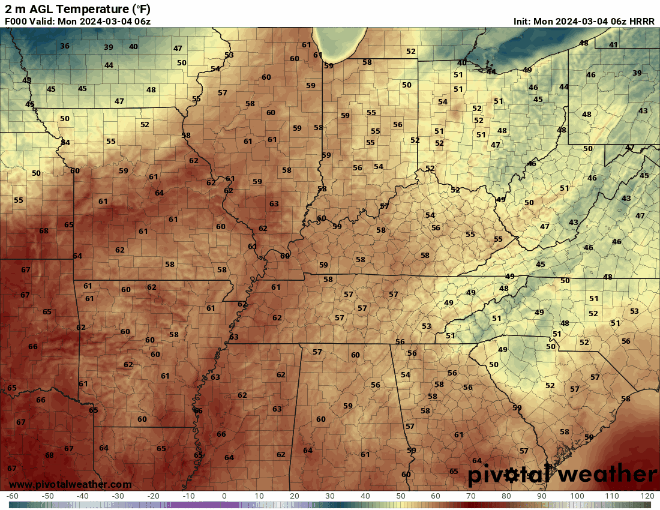
Did I mention warmth earlier? Because it’s definitely gonna be warm today, WABBLES. Mid-to-high 70s are on the docket for this afternoon’s highest temperatures, and most of us in the region will get a good long stretch of warm, late-spring or early-summer heat before sundown this evening. We’ll be gusting stronger than usual as well, as a potent southern wind will have winds gusting up into the teens and twenties this afternoon, slowly increasing our cloud cover over the course of the day and into the evening hours as well. If you’ve been setting off some outdoor work for a while, today’s the day, folks! You won’t get another dry chance for the next several days!
Alright, Heat and Gusts… but What About the Rain?
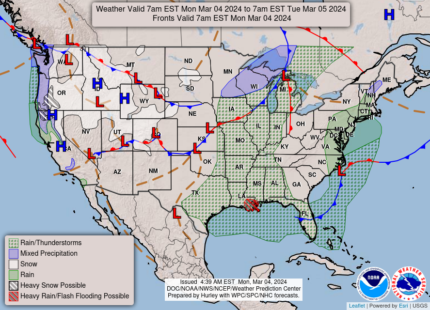
As illustrated in the GIF above, we’re expecting a large, broad, and shallow cold front to push down into Illinois, Indiana, and Kentucky beginning tomorrow morning. We won’t dip into freezing temperatures following the frontal passage, but we’ll definitely cool off a bit from our current high 70s weather as this cold front sparks a small wave of showers and storms that’ll move into WABBLES on Tuesday. It won’t be a total washout, but we’ll see a similar situation on Wednesday as spotty rainshowers may be possible on the afternoon of the 6th as well.
Though we aren’t expecting anything severe, it’s still important to remain aware that messy weather is in the forecast and will likely linger for the next day or two as a result of a slow-moving low pressure center to our southwest. Currently, we’re expecting some more precipitation to ring in our weekend, but we’ll cover that system on a different day, as it looks largely unproblematic and more of the same cloudy, gusty, messy spring showers. Until then, keep an eye on the blog here and the other on our Twitter page, where we post frequent updates on the forecast throughout the day! We’ll see you back here on Wednesday, y’all; have a great day, and stay safe!