")
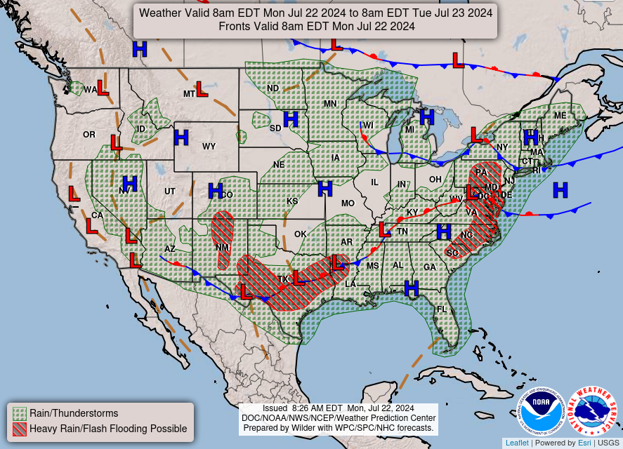
Good Monday morning, WABBLES! We’re back again with another week of active weather, as an unsettled pattern will likely bring us continual showers and storms over the next several days. Western Kentucky is in a largely unstable airmass, and will remain in said airmass through the end of our work week. This instability will make it possible for some of us to see precipitation nearly every single day this week! But will any of these storms be severe? And when do we start to dry out again? We’ll go over it all together in today’s weather blog!

Today’s Forecast
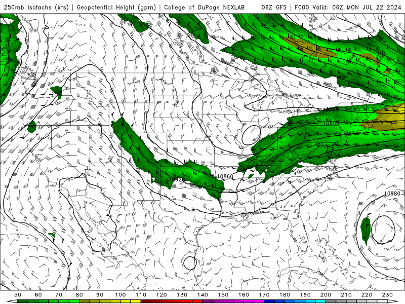
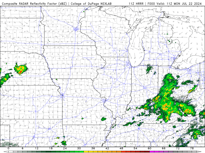
We’ll kick off a busy week of weather with a showery and stormy Monday, as our unsettled airmass sets up shop over Western Kentucky. An upper-level trough has positioned itself right over our area. Because of this, the WABBLES region will have a steady influx of moisture to work with every afternoon, when the heat of the day will begin to fire off some pop-up summer showers. That being said, our best opportunity to see storms each day this week will likely be the late afternoon into the evening time frame, as that’s when our peak heating hours are here down on the surface, and when our atmosphere will have the maximum energy to work with.
This afternoon will be much of the same, as we’ll stay in the mid-80s for our high temperatures across the region and we’ll expect to see the highest concentration of showers and storms around 4 or 5 o’clock this evening.
What’ll the Rest of the Week Look Like?
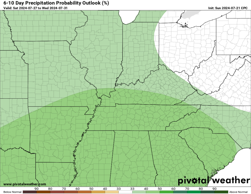
You’re already looking at it! The upper-level jet streak and digging trough through all the layers of our atmosphere is currently projected to remain in place over our WABBLES area, stalling out and providing us with pop-up showers and storms every day this week until the weekend arrives. If you needed any more convincing, though, the Climate Prediction Center has placed WABBLES squarely in a region of increased precipitation over the next 6-to-10 days. Some of us could see anywhere from a half inch to multiple inches of rain through Friday depending on where exactly that rain gauge is set up!
Thankfully, we aren’t expecting many (if any) of these storms to be severe enough to cause issues for most of us across the region. Most of these scattered showers and storms will likely bring some torrential rains, lightning, and maybe a little small hail in the strongest cells, but we aren’t worried about tornadoes or other overly destructive conditions, as summer storms usually pop up quickly and die out just as quickly.
All you’ve got to do to stay weather-aware this week is keep an umbrella handy while you’re out and about, and make sure you’re keeping up with us here on the blog as well as the WXornotBG Twitter page! Check back later this week for more long-form forecast blogs, but if you’re into more frequent updates on current weather conditions across the WABBLES region, you’ve got to give us a follow on Twitter. You’ll get notified when we go live to cover severe weather, and have the most up-to-date information on what the forecast looks like as the weather’s happening.
Until next time, y’all, stay dry and stay safe out there! See you later!