")
Good Monday morning, WABBLES! We’re staying steamy here in Southern Kentucky this week, as our summer weather pattern seems like it’s here to stay. Toasty temperatures in the low-to-mid 90s will carry us through the last full week of June and set us up for another red-hot July; but all is not lost, as we may get a brief reprieve from the heat around midweek as some showers and storms move into our area. Just how hot will it get to close out the month? And what kind of storms are we expecting to see this week? We’re going through it all together in today’s weather blog!
Today’s Forecast
Though we’ll be seeing a little more wetter weather later on this week, we’ve got some bright sunshine and steamier temperatures to get through, first. WABBLES will be locked firmly beneath a strong ridge of high pressure for the next two days, allowing lots of heat and moisture to build up right overtop of us as we go into the midweek.
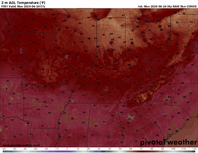
Today we’re expecting nothing but cloudless skies and temperatures in the lower-90s, but mid-90s will return to the region by Tuesday, with feels like temperatures closer to 100 by sundown Tuesday night. Heat safety is incredibly important this time of year, so if you’ve got any plans to spend some time outdoors this week, be sure you’re also planning to keep cool in order to avoid any kind of heat sickness!
Steamy temps = Steamy Storms?
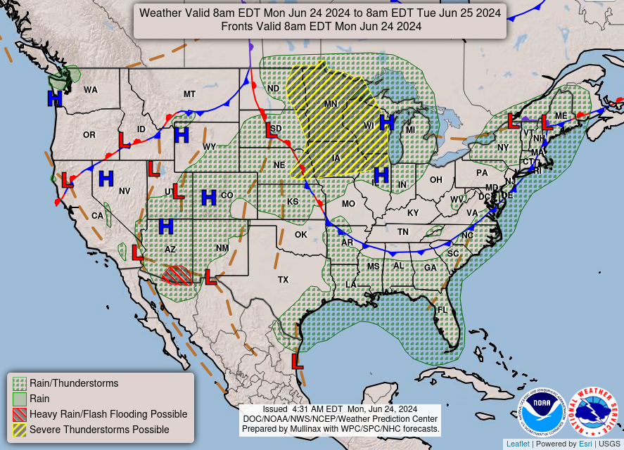
Pretty much! As we go into the rest of the week, ample heat and moisture will have built up in our atmosphere due to the large ridge of high pressure we’re stuck under. And when you have that much heat and moisture hanging out in one place, all it takes is a small perturbation in one of the atmosphere’s many layers to see storms. It looks like we’ll see one such perturbation late Tuesday night into Wednesday morning in the form of a little shortwave disturbance extending southward from some of the midwestern states.
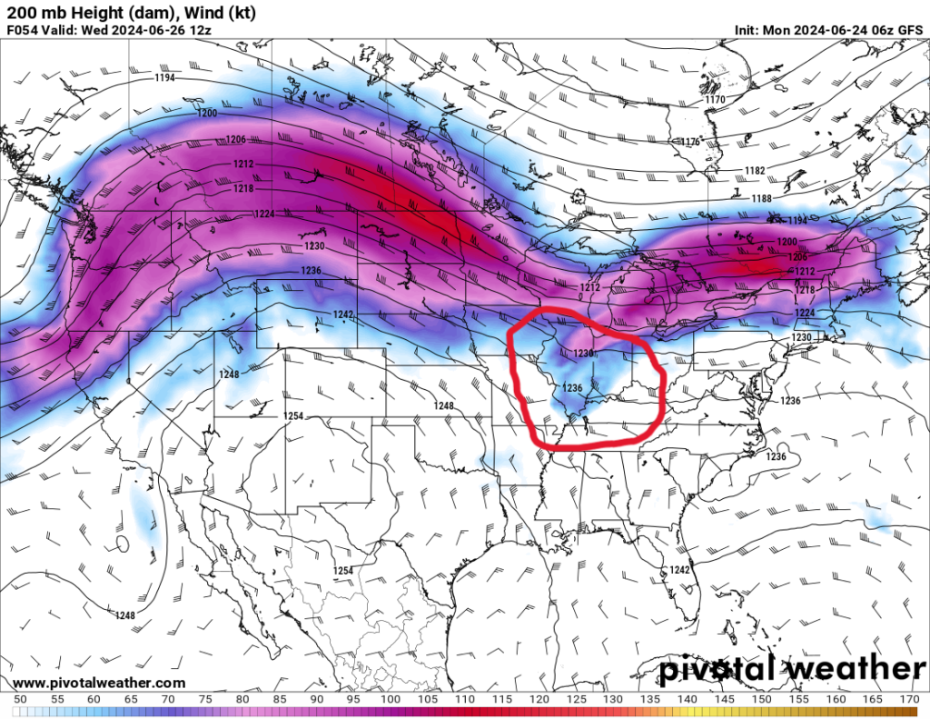
This shortwave perturbation is forecast to move south-southeast, and as a result, some of our short-range models are already picking up on a cluster of storms moving that same direction down into our WABBLES area as a result. Take a look at the GIF below to see how the NAM 3km is expecting the system to play out:
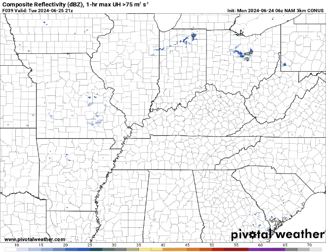
It’s pretty obvious that our weather models are expecting the worst of the storms to remain way further to our northwest, but it’s also likely that we see a storm or two ourselves going into the late morning hours on Wednesday. However, since we are still a little ways out on this system, we aren’t completely confident about what our hazards will be or the exact timing. The Storm Prediction Center has already issued a convective outlook for Wednesday morning that places WABBLES squarely in the Marginal (1/5) risk, so make sure you’re staying weather-aware as we head into the midweek.
To earn even MORE weather brownie points, you should make sure to stay tuned to this here weather blog as well as wxornotBG’s Twitter page, where we send out continuous updates on our local WABBLES forecast no matter how steamy or stormy we get here in town. Once you’ve done that, you’re all set to tackle the rest of our steaming-hot summer together with us! Until next time, stay cool out there y’all, and we’ll talk again soon. Take care!