")
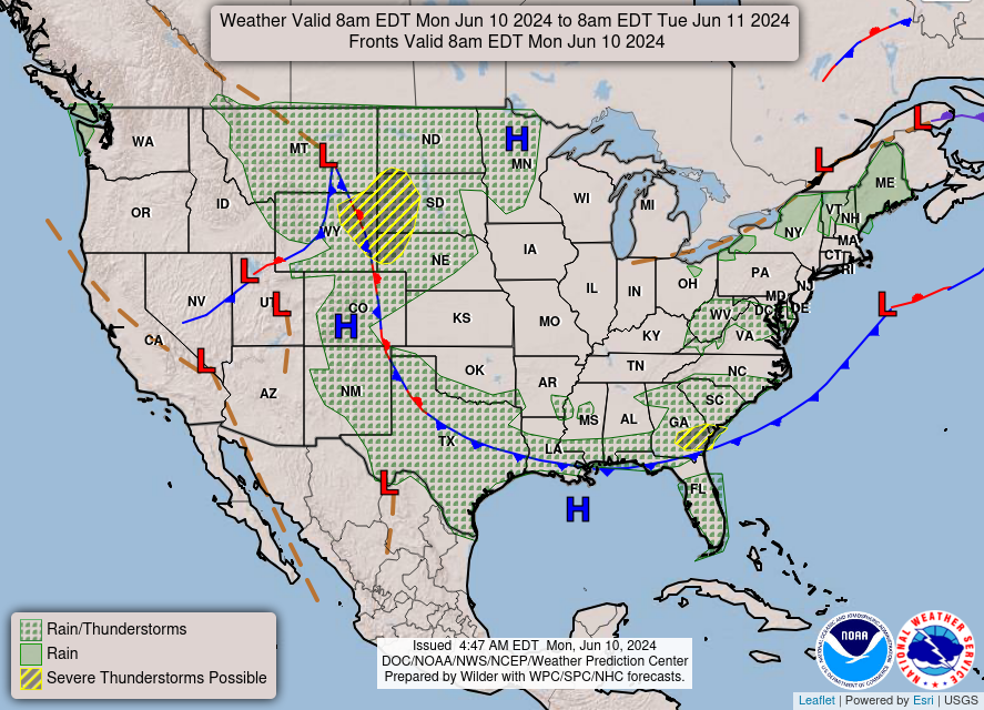
Good Monday morning, WABBLES! We’re back in the saddle again after a wet weekend in Bowling Green. Summer is officially on the menu this week as we warm back up over the next several days! In fact, we have no precipitation expected for the WABBLES region through Sunday, giving us a chance to build up some monster heat. How long will this incoming summer heatwave last? And just how steamy will it get? We’re going through it all together in today’s weather blog!
Today’s Forecast
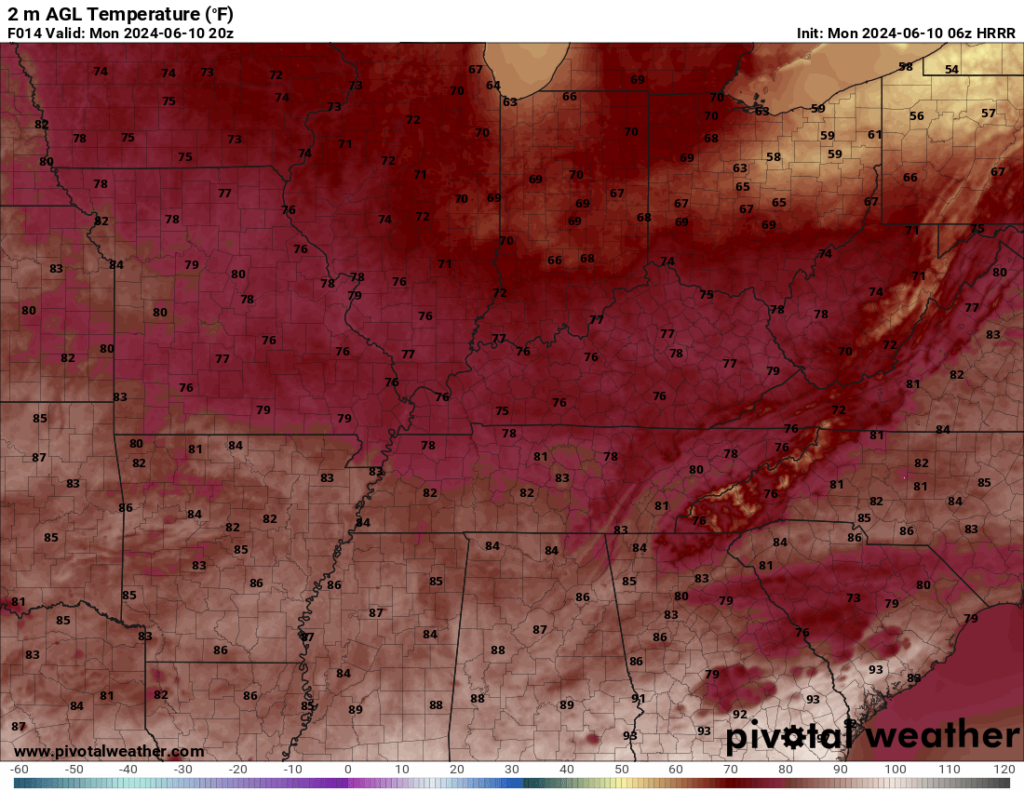
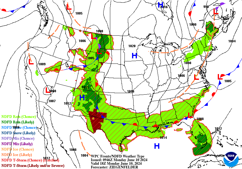
Foggy conditions will be present through late morning in many of our low-lying WABBLES areas as the moisture from yesterday’s showers and storms gets cooked off by our morning sunshine. We’ll remain under a Dense Fog Advisory until 8:00 AM, though some locations could see fog lingering just a bit longer. Once the last of that moisture has evaporated, we’re in for one of our last cooler and more comfortable days as our high temperatures aren’t expected to escape the upper 70s this afternoon despite ample sunshine.
A gentle breeze and some bright blue skies will make for the perfect day for our outdoorsy crowd; you’d better get out there and enjoy it today, because after today, it’ll be a good long while before we see high temps return to the 70s!
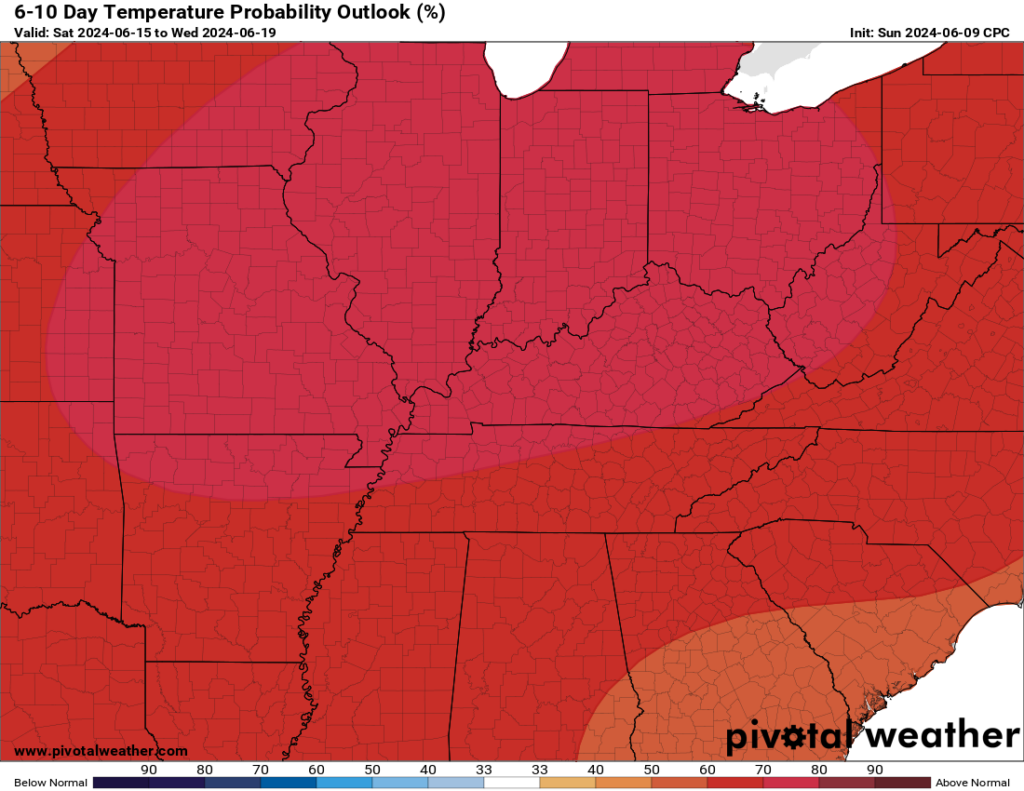
Okay, so What About that Summer Heatwave?
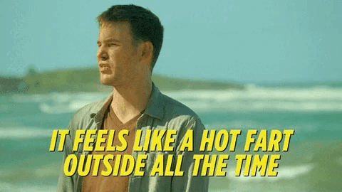
I’m glad you asked! With no precipitation expected here in WABBLES for the next seven days, a ridge of high pressure is expected to set up over our area and allow a ton of hot air to push in from the south. This hot airmass will remain in place with no storm systems to push it away, so by the end of this week, we’ll likely see high temperatures into the mid-90s for most of the WABBLES region.
And they aren’t expected to go away quickly, either! Rain chances don’t return to our area until early next week, so we’re stuck with these steaming temperatures until our next wave of precipitation decides to move in. And since it’s more than a few days out, I can’t give you any specific details until we get closer to the weekend. Take my advice and enjoy how good it feels today, because you’re gonna miss it by the time Friday arrives!
That’s about all we’ve got for you today, WABBLES! Sorry that it couldn’t be better news, unless you’re one of the folks who jumps for joy at the idea of some asphalt-cooking summer heat, in which case: you’re welcome! We should have a better idea of when exactly we’ll get a good break from the scalding summer temperatures as we get closer to Saturday, as well as some more details about possible rain chances next week, so make sure you’re keeping up with us here on the blog and on our Twitter page, where we frequently post updates to the forecast in real-time.
Until next time, make sure you’re keeping that sunscreen handy and staying hydrated out there – the dog days of summer have officially arrived! See you later!