

")

An extraordinarily active holiday weekend was followed up by a pretty nice work week in WABBLES. Unfortunately, the unsettled pattern returns as we turn the calendar to June.
Into the Weekend: Friday and Friday Night
Before things get busy, though, we continue to see absolutely beautiful weather throughout the region with high pressure in place.

That sunshine will continue as we head through the afternoon, but we should start to see a few clouds sneak in as we head toward the evening. Won’t hurt the temperatures much though, with highs making a run back to about 80º or so.
As high pressure starts to scoot east, the diffuse warm front ahead of our next system will try to scoot in as we head through the evening and overnight. That should lead to warmer overnight lows, but we should stay dry. Mostly cloudy skies and more moisture keep us in the lower 60s overnight.
Weekend Forecast: Saturday and Sunday
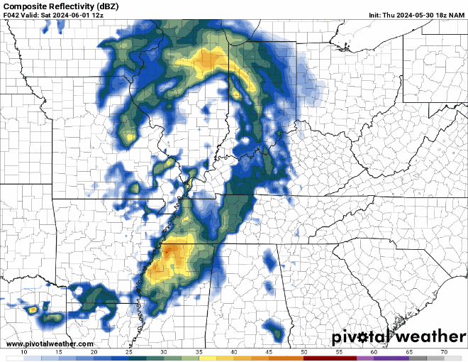
This weak boundary will continue to inch closer to the WABBLES region as we head into the day on Saturday. It will interact with the moisture we’ve got flowing in off the Gulf of Mexico and the small amount of instability we’ve got in place to produce pop-up showers and storms throughout the region. Best chance for this looks to be in the heat of the afternoon.
I mean, if this ain’t June starting exactly as you’d expect it to…

Widespread severe weather is not expected, but we will have to keep an eye on the potential for a strong wind gust or two a we head through Saturday afternoon and evening. The bigger issue, though, appears to be the potential for heavy rain with any storm that pushes through the region. If you happen to get under a series of these storms, you could be in for quite a bit of rain.
Outside of showers, highs peak in the lower 80s. Rain chances continue overnight as we fall back into the middle 60s.
Showers look to continue as we head into early parts of Sunday as this frontal boundary slowly works through the region. More heavy rain will be possible with any storm that happens to pop up, so have that backup plan ready if you happen to get caught under a shower. Highs are back into the lower 80s, with lows back into the lower 60s as rain chances dip off a little.
Beyond the Weekend
More of the same expected as we head through the early parts of next week as this frontal boundary gets hung up in the region…and you know what that means.

We’ll continue to see daily chances for afternoon and evening scattered showers and storms here in WABBLES, with a little bit of hot, humid sunshine in between. You know…the summer special.

Highs will park themselves up into the middle 80s or so during the afternoons, with muggy lows at night only falling back into the upper 60s to near 70º. And that goes for Monday, Tuesday, and Wednesday or so.
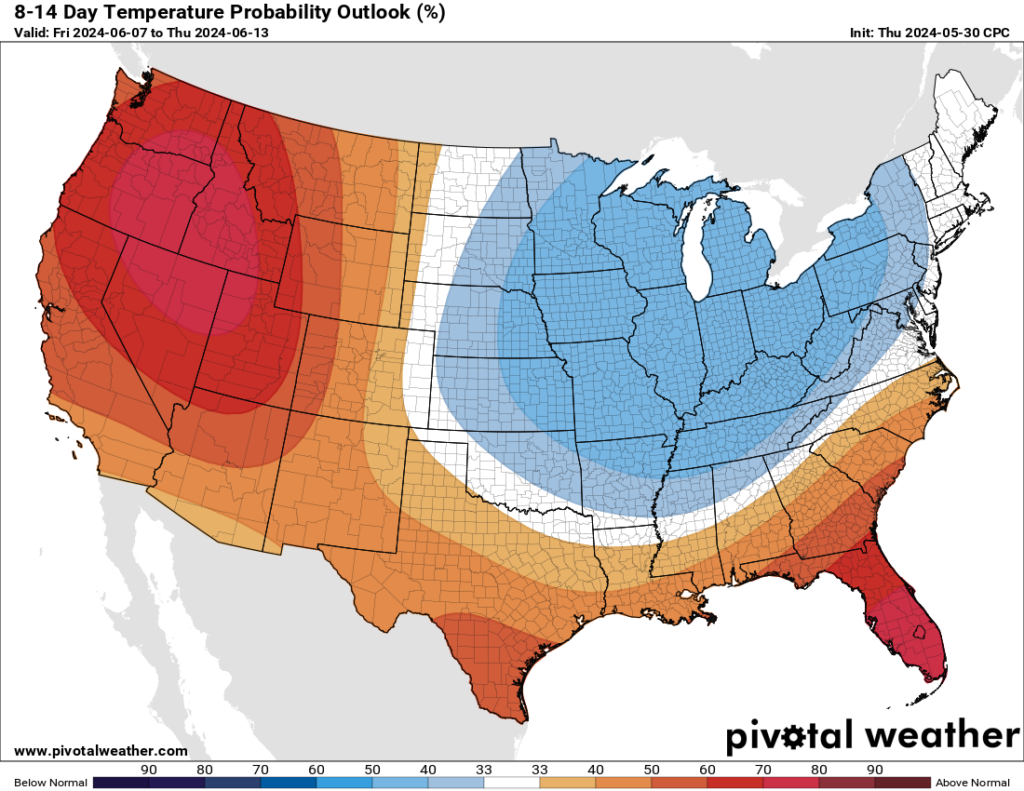
Models have been hinting that in the longer term, a cold front will try to scoot in here by the middle or later next week. That will give us a shot at perhaps a few stronger thunderstorms…before temperatures settle back to near spring-like values by later next week…stay tuned!
That’s it for me for now! You can always keep up with the latest on all of our social media platforms. Have a tremendous day and a great weekend!