

")

Glad the weekend is here because it sure has been a soggy week around WABBLES, hasn’t it? Plenty of rain showers pushing through the region as temperatures have been held down. However, we’ll make up for it in a big way.
Easing Into the Weekend: Friday and Friday Night
We are almost ready to say goodbye to the showers for the weekend…except for this one little spoke of energy.
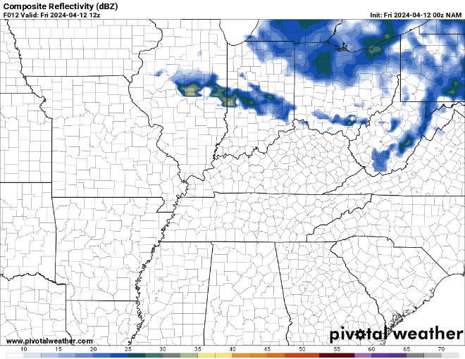
That will keep us cloudy, cool, and breezy as some slightly chillier air begins to work into the region. We may even see a shower or two early, but the gusty west winds will be the headline through the day. Those winds bringing in cool air as highs only make a run into the middle 60s during the day. Some sunshine will make a run at us in the afternoon, so it won’t be a completely gloomy day.

Winds will slowly start to calm down overnight, but will still be whipping enough to keep us from getting too cool overnight, even with clear skies. Lows fall back into the middle to upper 40s.
Beautiful Weekend: Saturday and Sunday
Mother Nature finally decided we needed a break from the incessant rainfall and she looks to deliver in a big way!

High pressure will be settling into the region as we head into the day on Saturday, allowing abundant sunshine to take over the forecast. This leads not only to happier people, but will allow warmer temperatures to build into the region.
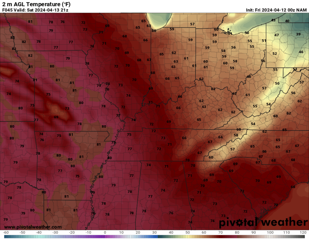
Highs look to soar back up into the lower to middle 70s in the afternoon. Now that’s what I’m talking about. The only drawback may be some slightly muggier air since we’re dealing with southerly winds bringing the nice temperatures back. But after this week, we’ll certainly take it! Clear skies expected overnight with lows back into the upper 50s to lower 60s.
More of the same on Sunday!

Except, a little warmer! As high pressure scoots off to the east of the region, we’ll get more of that “return flow” out of the south, allowing warmer air to creep into the region. We’ll stay dry and mostly sunny as highs top out in the upper 70s to lower 80s with gusty winds. A few clouds may creep in Sunday night, but lows stay in the lower 60s.
Beyond the Weekend: Another active week
Once we clear the weekend, the weather looks to do the opposite as we head into the early parts of next week. A stationary boundary looks to set up in the region, allowing storms to scoot along it.
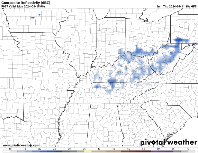
Naturally, this time of year the question comes: could these storms be strong to severe? The answer is possibly, but there is no overwhelming signal in the data. We’ve got temperatures in the lower 80s and plenty of mugginess, but there’s no big system around to kick the wind fields into gear.

Even if you’ve got great fuel, you need a good engine, and that doesn’t appear to be in place early in the week. We’ll watch it, though. More scattered showers and storms continue in a summer-like pattern as we head through the early days of next week.
We’ll watch perhaps another chance for showers and storms as a front pushes through later next week, but only time will tell if we’ll have to watch out for strong to severe weather. Temperatures do look to stay on the warm side as we stay in the upper 70s to near 80º.
That’s it for me for now! You can always keep up with the latest on all of our social media platforms. Have a tremendous day and a great weekend!