

")
Good Wednesday Morning WABBLES! I hope everyone has been enjoying the nice weather out there this week. We have another beautiful day today before we have storm chances to end the work week.

Today
Today will remain nice with highs in the low to mid 70s. Sunshine should remain dominant with a few periods of scattered clouds.
Thursday & Friday
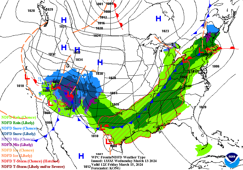
Looking at tomorrow into Friday we will see the return of rain and storm chances across WABBLES. It is looking like the best time to see storms will be tomorrow afternoon and again tomorrow night into Friday.

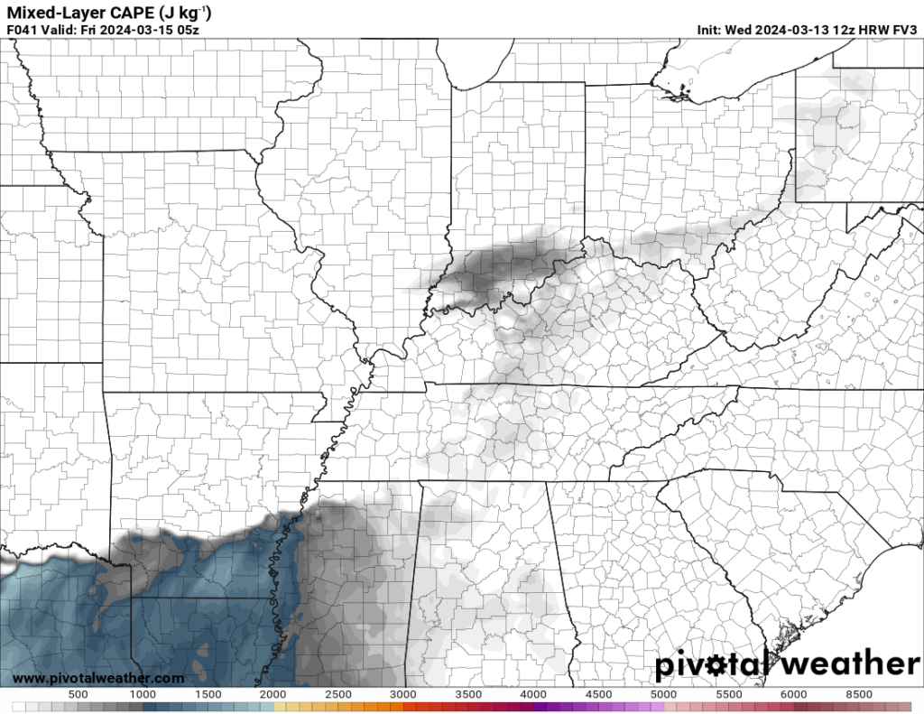
As far as severe weather goes, there will be some parameters in place for a low end severe weather threat. However, instability once again looks to be questionable and will likely be the main limiting factor for severe weather.
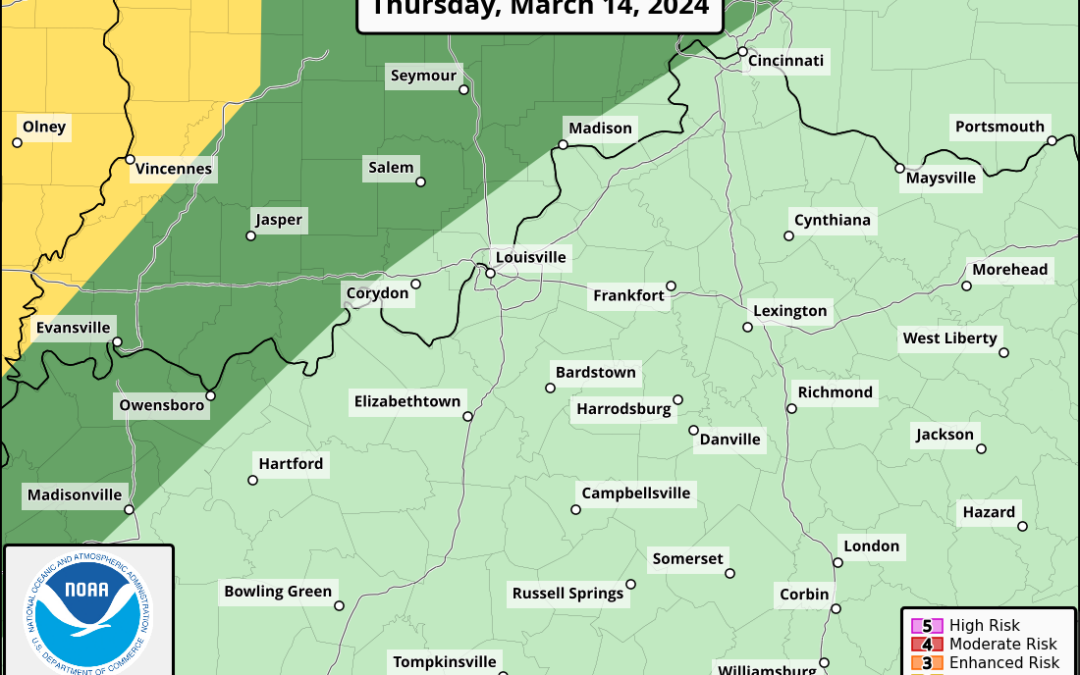
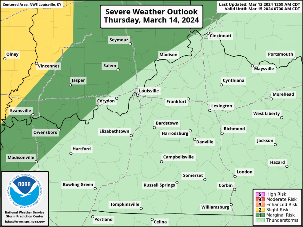
The SPC has WABBLES in a general thunderstorm risk with the Marginal Risk off to the west. Depending on how storms evolve today in the Central US and further model runs, I wouldn’t be shocked to see the Marginal Risk to be expanded to include WABBLES.
Regardless, thunderstorm and rain are in the forecast, but whether any storms will be able to cross the threshold to severe is the main question.
That will be all for today folks. I hope everyone enjoys another beautiful day before storm chances return. For the latest on the storm chances I encourage y’all to follow us on our social media accounts @wxornotBG.
Have a blessed day!