

")
We’re kicking yesterday’s rain out of WABBLES as we look ahead to the weekend forecast, and we’re not looking too bad. However, eyes continue looking toward what could be an active final week of February.
Starting the Weekend: Friday and Friday Night
Clouds continue to push on out of the region as last night’s rain becomes but a distant memory. However, a trough splayed out across the eastern third of the nation will keep us on the cooler side as we push through the afternoon hours—even with skies continuing to clear during the day.

Highs will end up back into the middle to even upper 50s thanks to those west winds.
Overnight, we’ll see some chill work back into the region, along with a few clouds. A weak disturbance diving in from the north may drop a few showers or flurries across Central Kentucky.
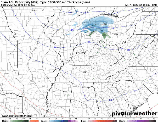
However, WABBLES looks to go without, other than a few of those clouds overnight.

We’ll keep it cooler, with lows back into the middle 30s.
Ladies and Gentlemen…The Weekend Forecast
Tranquil weather looks to take back over as we head into the weekend itself.
Clouds should clear out as we head through the day on Saturday, with a ridge of high pressure working back into the region. Even with plenty of sunshine, though, the cool air filtering in from the northwest will keep us cooler on Saturday, with highs only in the middle 40s or so.

By the way…come see us! Most of the WXorNOT crew will be at NWS Nashville’s Severe Weather Awareness Day Saturday morning at Trevecca Nazarene University down in Music City. Come say hello!
Got plans this weekend? Now you do! Join us this Saturday at Trevecca University for #SWAD2024! This FREE event will help make sure you are prepared for our peak severe weather season. We promise you don't want to miss this!
— NWS Nashville (@NWSNashville) February 19, 2024
Agenda & registration -> https://t.co/5xj7QhRaUI pic.twitter.com/wyz2PDqm0Y
Overnight, clear skies combine with the light northwest winds, allow our temperatures to tumble overnight, down into the upper 20s to near 30º or so.
Sunday sees quite a bit of improvement!

The center of high pressure starts to scoot to the east as our next system gathers steam out west. For us, that means warmer air begins to move into the region thanks to southwesterly winds. We continue to see sunshine as highs make a run back into the lower 60s. We’re milder overnight, too, with lows falling back down to near 50º or so.
Past the Weekend: Through the Middle of Next Week
Our attention continues to be on a strong storm system working toward the region by the middle of next week.
Monday looks to be mostly dry, but quite mild as highs make a run into the upper 60s to near 70º as clouds work into the region ahead of this system. Clouds increase as well as we see that system work closer. I can’t rule out a shower, but we’re much milder, with lows only near 60º.

Moisture continues to return to the region as we head into the day on Tuesday. We look dry again early, but some scattered showers could push in as early as Tuesday afternoon as highs soar into the lower 70s with the southwest flow.
This is a dynamic storm system, and will have plenty of wind to work with through the atmosphere. If we happen to see instability develop as well, we could see the development of strong to even severe thunderstorms in the region. The Storm Prediction Center began highlighting severe weather potential for the region yesterday and that continues today, with a 15% or “slight” risk of severe weather already in place.
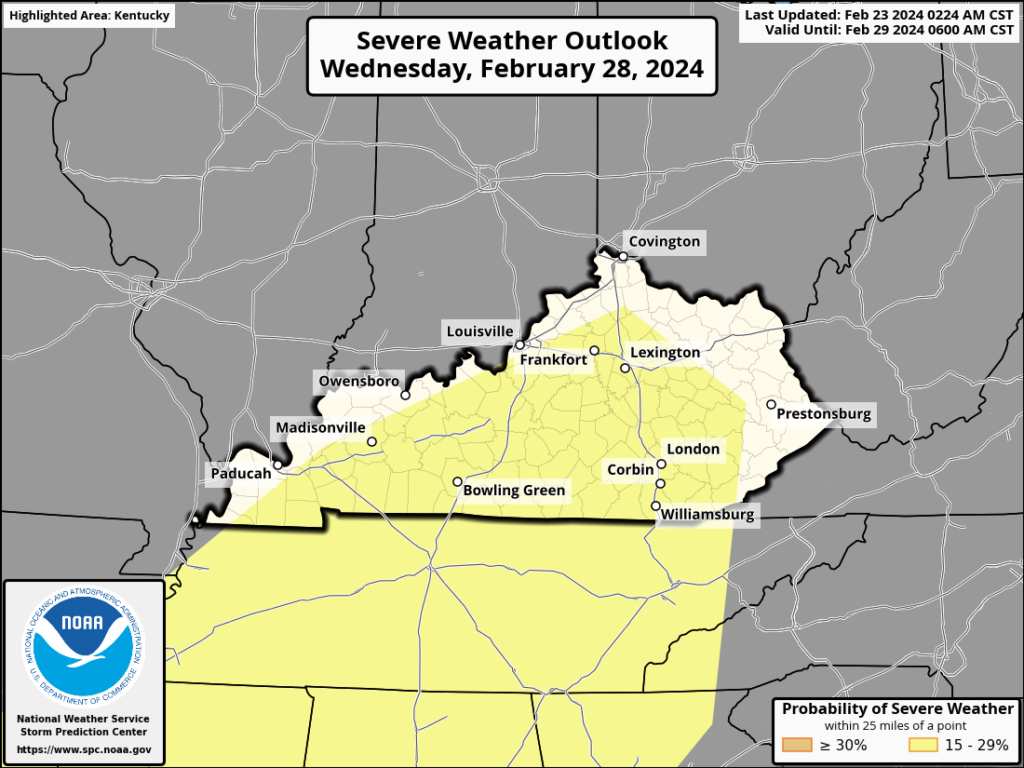
There is still quite a bit of uncertainty regarding timing and impacts, so it’s nothing to be overly concerned about yet, but we need to keep a close eye on things as we work into next week. Models hint that we’ll cool down and calm down as we head toward next weekend.
That’s it for me for now! You can always keep up with the latest on all of our social media platforms. Have a tremendous day and a great weekend!