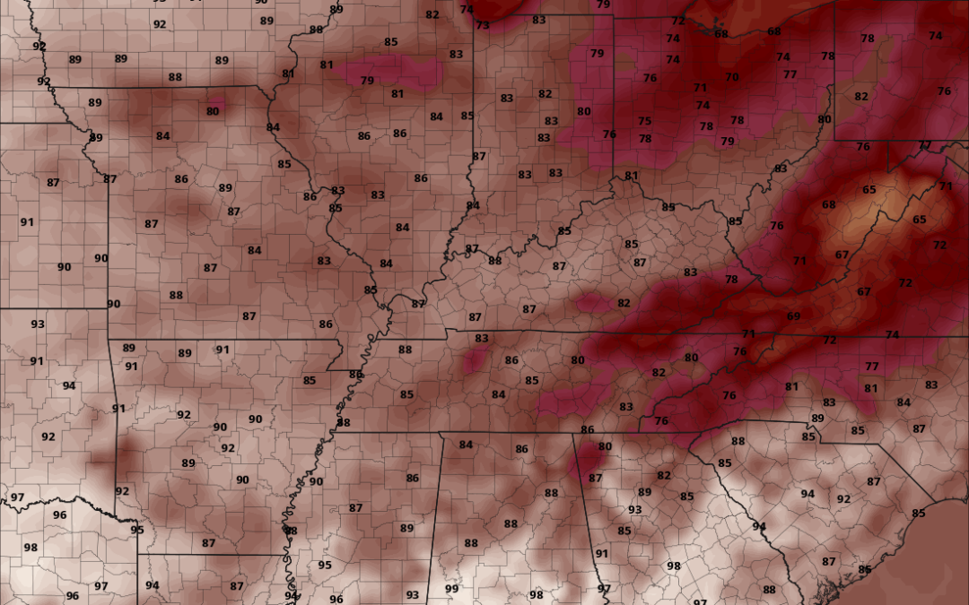
Happy Monday morning, WABBLES! As a result of yesterday’s rainy treat, we are in for a bit of a break from that awfully sweaty heat to start off our last week of August. It isn’t much, but we’ll certainly take it after the long week of borderline unbearable temperatures we’ve had! With no precipitation expected, our relief will come alongside some spotty cloud coverage which will help to keep us cool. All this and more in today’s weather blog!

Today’s Forecast
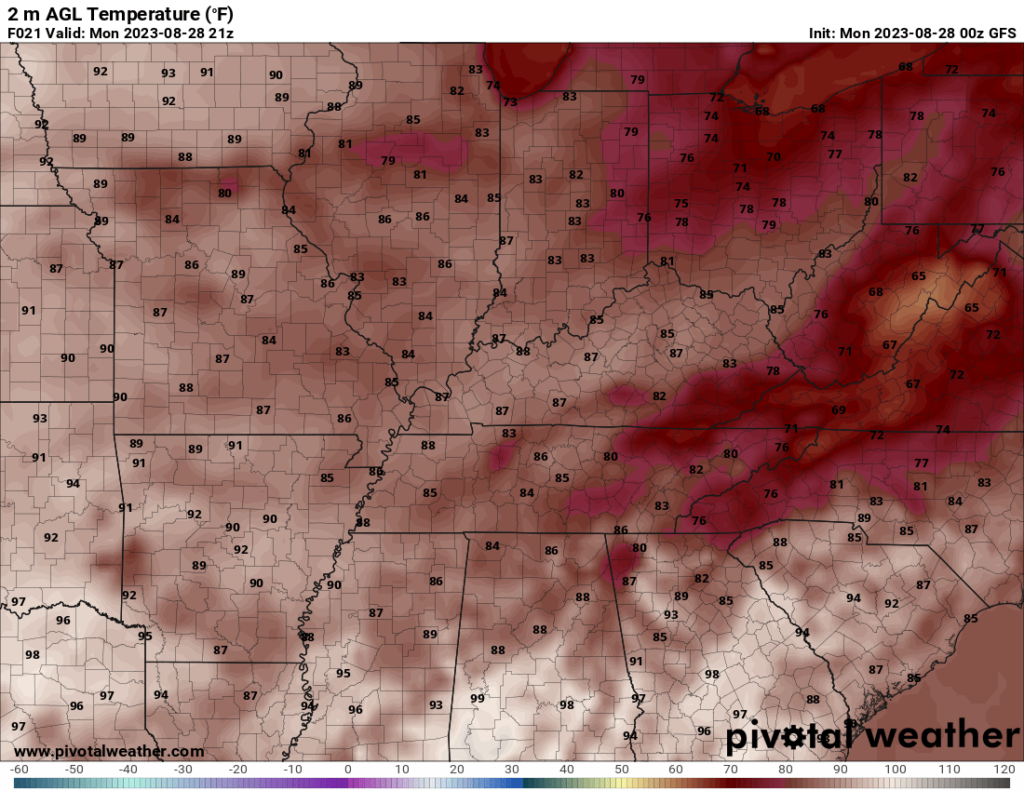
Our highly-anticipated break will take the form of much lower temperatures than we’ve seen for quite some time, with today’s highs expected to peak around the low-to-mid-80s for most of the WABBLES community. After sundown, we’ll dip down into the mid-60s for lows, which are much preferred to the mid and high-70s of last week!
How Long Will This Break Last?
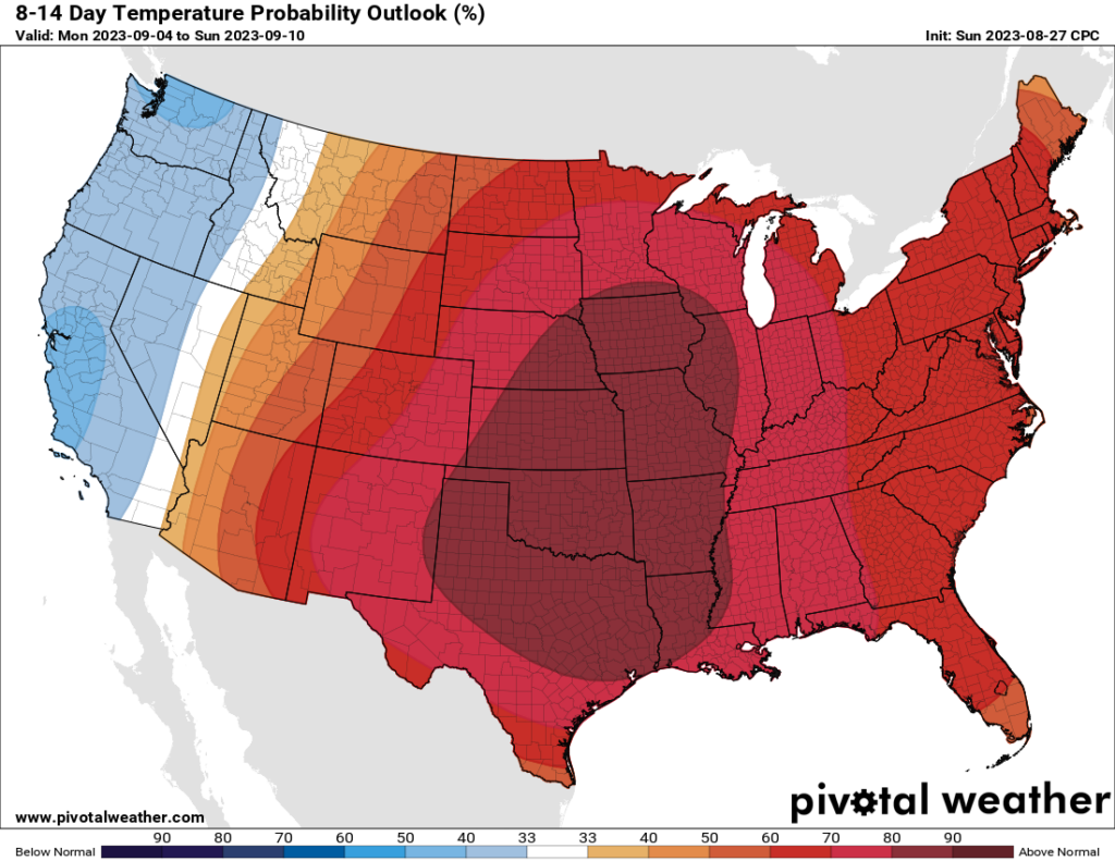
Well, as it stands right now, we’re crossing our fingers that the WABBLES region can avoid stepping back into 90s territory through the end of the week. But regardless, our “feels-like” temperatures will return to being uncomfortably hot starting about Wednesday. Though we’ll be cooler than last week in theory, we also aren’t expecting any more significant rainfall for quite some time, which will allow that crazy-hot ridge to build back up over our area once we’re into September proper. Sorry, folks, but triple-digit temps will end up returning, despite our best efforts!
Other than that, we really don’t have much to update you on this morning! If you’ve been meaning to do some outside work but have been too scared of the heat, today might be your day. Still, keep some water handy and have a place to rest out of the sun if you do, and check in with us tomorrow morning to get the latest on the weather for the rest of the week! And if the daily blogs aren’t enough to keep you full, check us out over on Twitter, where we like to post updates throughout the day.
Until tomorrow, stay safe out there WABBLES!
