")
Good Monday morning, WABBLES! We’re going into our last few days of below-average summer temperatures as our brief cooldown wraps up by the end of this week. Highs in the low 90s as well as opportunities for precipitation will make their way back into the forecast to start off the weekend, ringing in our new school year with a bang. But how hot will we get? And are we expecting to see any strong storms? We’re going through it all together in today’s weather blog!

Today’s Forecast
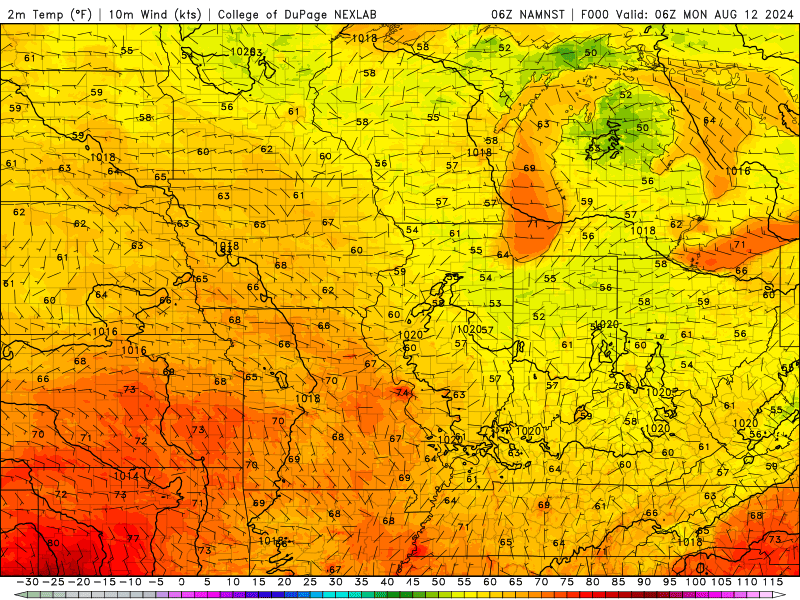
Even though our brief unseasonable cooldown is coming to a close this week, we still have a day or two of nicer conditions to enjoy before our low-80s and comfortable outdoor weather are gone forever. Well, not forever, but at least until the start of fall! We’re expecting another nice day today, with bright blue skies and high temperatures hovering around 82 degrees for much of the WABBLES community. We’ll see both cloud cover and temperatures steadily increase throughout the week until rain chances return to our region Wednesday night into Thursday morning.
Storms End our Brief Cooldown?
We think so! In fact, as warmer temperatures move back into our WABBLES region, it’s a little bit like setting bowling pins up for a nearby weather system to come knock them all back down. Once we’re warmer, we’re expecting a little bit of an upper-level pattern change across the Ohio River Valley that’ll make it a lot easier for us to see scattered showers and storms as we go into the weekend. Because we’re a little ways out, we don’t have any high-resolution models that can quite see it yet, but our good ol’ friend the GFS can give us at least a little idea at what the end of our week may look like.
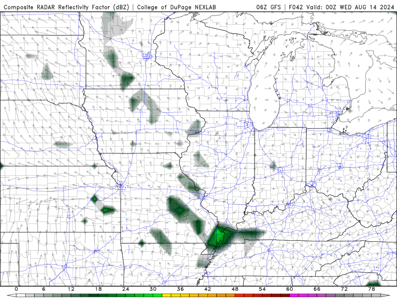
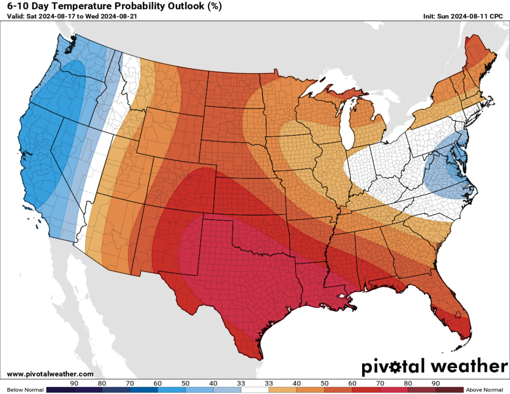
We’ll know more about this system the closer we get to the end of the week, but for now, we can confidently say that some, if not all of us WABBLES folks will see some rain heading into the weekend. And though it may briefly cool us back down in the moment, our days of fall-like weather likely won’t be returning until fall itself does, as the latest CPC temperature outlook for our area puts us squarely back in an area of above-average temperatures for the next 6 to 10 days!
And that’s about all we’ve got for you today, WABBLES! Get out there and enjoy the last day or two of nicer weather before we see that pattern change make its way into our area. Fall can’t come soon enough! If you don’t already, make sure you’re following us over on the WXornotBG Twitter page, as we give consistent real-time updates on WABBLES‘ changing forecast each day to make sure you’re as prepared as you can be, as well as local weather briefings that we broadcast live for you each morning! We’ll have another blog up later this week going over our changing weather pattern, but until then, take care y’all, and enjoy yourselves out there!