")
Good Monday morning, WABBLES! We’re looking steamy here across the region to start the week, with some smokin’ hot temperatures and ample precipitation opportunities expected in our local forecast through Friday. Get those kiddie pools and slip-‘n-slides out, because you’re gonna want to find some fun ways to cool off… at least through the start of the week, because we may just have a comfortable cooldown in our near future. How long will the heat last? What will our rain chances look like? And will we really cool off sometime soon? We’re going through it all together in today’s weather blog!

Today’s Forecast
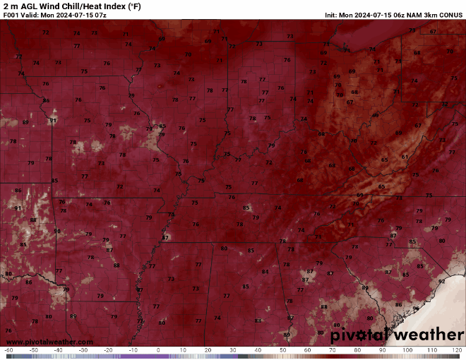
Though we do have a cooldown in our future, we won’t quite escape the usual steamy summer weather for a few days. In fact, today and tomorrow will be our hottest days here in WABBLES this week, with temperatures expected to push into the mid and upper 90s and feels-like temperatures near 106! If you’re sensitive to these more extreme heat values, it may be wise to just stay inside and avoid kicking around outside for a day or two before things cool off a bit around the midweek. The good news, though, is that things will cool off!
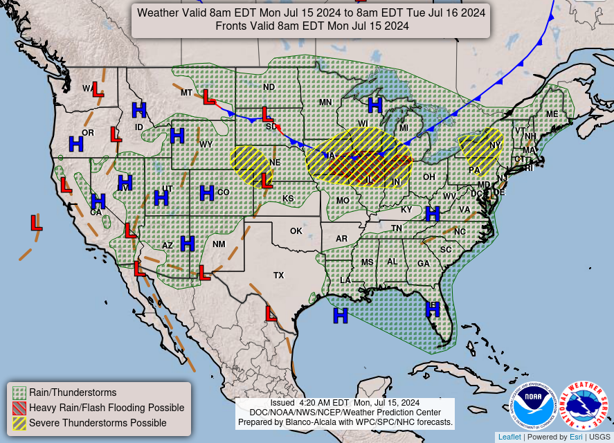
In addition to these uncomfortably warm summer temps, WABBLES will also likely see some pop-up showers and storms across the region for the next several days due to just how steamy it’ll get around here. Random pop-up showers and storms will be possible through Wednesday of this week, mostly during our peak heating hours of the day, so late afternoon into the early evening is when you can expect to see them appear. While they’re rather unpredictable in nature, what’s less unpredictable is the cold front that will actually rush in late Tuesday night into Wednesday morning, bringing with it much cooler temperatures behind a wave of rain and storms that’ll push into WABBLES after midnight.
Steamy No Longer?
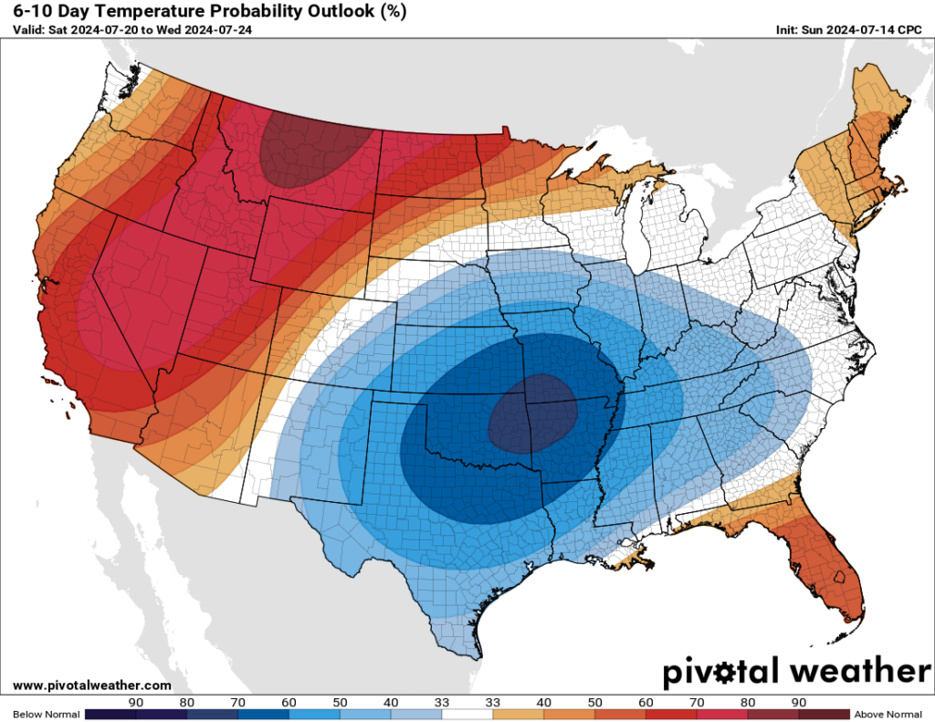
That’s the plan! Once this cold front pushes through early Wednesday morning, much more temperate conditions are expected here in our local WABBLES region. In fact, the Climate Prediction Center has already released a pretty impressive temperature outlook for the next 6 to 10 days that has our area firmly within a region that’s expected to see temperatures quite a bit below average for the next week or so! Take a look yourself:
Once showers and storms move through Wednesday morning, we’ll largely be more comfortable and much drier as we head into the weekend, with temperatures expected to remain around the mid 80s instead of the mid-to-upper 90s. Some scattered showers may still be possible for a little bit, but overall we’ll be having a much nicer weekend ahead! Make your plans now, folks, because you’ll definitely want to get out there and enjoy it.
That’s about all we’ve got for you today, WABBLES! Thanks so much for checking out today’s blog, and if you don’t already, consider following us on Twitter, where we post frequent weather updates in real-time for all our lovely friends across the region. If you’re eager for more weather news, no worries! We have another blog that’ll go out later this week detailing exactly what the end of our work week and weekend conditions will look like. Until then, take care y’all, and we’ll see you Wednesday!