

")

Our Fourth of July weekend started off on a soggy and stormy note around WABBLES. Thankfully, though, things do look to be improving for the back half of the holiday weekend.
Friday and Friday Night
We’re continuing to slowly clear out following a stormy midweek around the area. Though, it’s not quite all sunshine and rainbows yet.

We’re still watching the frontal boundary responsible for all of this active weather to work its way east of the region. That will lead to plenty of clouds around the region as we get the day started. We’ll watch for more scattered showers and thunderstorms to develop in the heat of the afternoon.
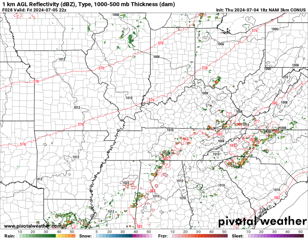
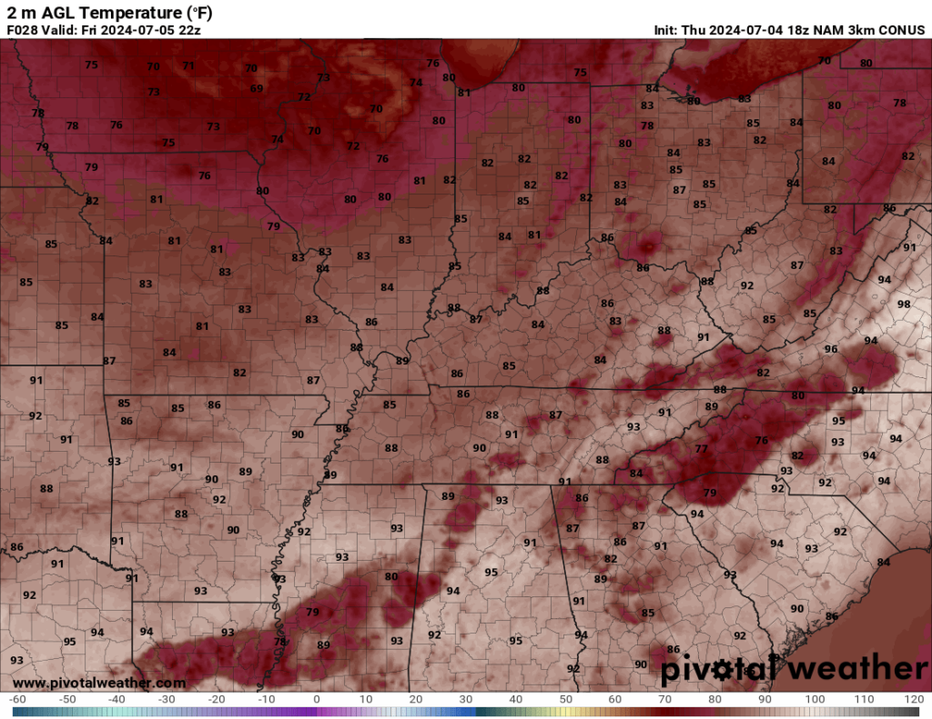
Any storm could have some gusty winds with it, but heavy rain will be the bigger calling card with any storm. We’ll be warm, but not quite as warm as we have been as highs climb into the middle and upper 80s.
Heading into Friday night, we’ll start to shift the clouds and showers to the east as we head into the overnight hours. Overnight lows as clouds move out will be warm and muggy, but seasonal in the upper 60s to around 70º or so.
Weekend Pool Weather
As the cold front shifts east, things are looking up as we head into Saturday and Sunday!
High pressure will work back into the area, bringing sunshine and seasonably warm weather back to the region…which can only mean one thing…

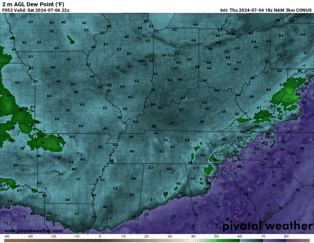
Definitely a day to crack open the sunscreen if you’re headed outside, though. Because while it will be nicer than where we’ve been this week, we’re not talking low humidity values or anything. We’ll still see Saturday highs in the lower to middle 80s, with dew points holding firmly in the lower to middle 60s. Better yes, but by no means fall-like.
More of the same expected as we head into the day on Sunday, though temperatures will tick up a tad. Continued sunshine will bring us highs back in the upper 80s to near 90º or so. Humidity values tick up too, so we’ll finish the holiday weekend feeling like a typical summer day around the region. Overnight lows under mostly clear skies look to hang in the upper 60s to near 70º or so.

Soggy summer storms return next week
Mother Nature appears kind enough to allow us to enjoy the back half of the Fourth of July weekend with dry weather, but the same can’t be said as we head into next week.
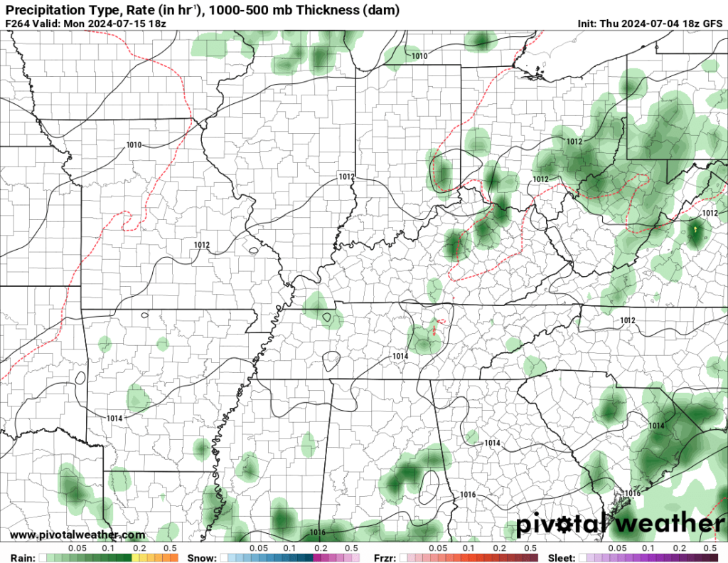
It looks like Monday will start dry throughout the region, but another system is poised to try to scoot into the region as we head into the afternoon, that could bring yet another chance for some scattered showers and storms.
Some scattered showers and storms may linger overnight as we fall back only into the lower 70s under muggy conditions.
The pattern continues to flip to one that would keep us with daily chances for scattered showers and storms as we head into the middle of next week. We’ll also have to watch to see if we can get any moisture in here from Beryl after it makes a couple of more landfalls along the gulf coast.
In any case, things look rather warm and humid as we head through next week. Highs hang into the upper 80s to near 90º, with heat indices 95-100º most days. We’ll bring back daily chances for scattered showers and thunderstorms as well.
That’s it for me for now! You can always keep up with the latest on all of our social media platforms. Have a tremendous day and a great weekend!