After what has been a mostly pleasant week throughout WABBLES, June will make its presence felt as we head into the weekend. While we look to stay mostly dry, we’ll also start building in some summer heat.
Easing into the weekend: Friday and Friday Night
I hope you’ve gotten to enjoy this week’s absolutely gorgeous weather throughout the region, because the warm up has already started.

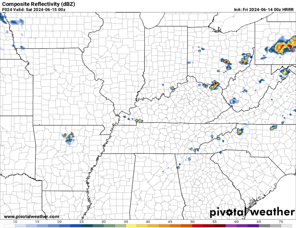
We might see some clouds thrown our way as a front starts to wash out just off to our north. But that seems to be the extent of our potential cooling influence as a dome of high pressure settles just off to the east of the region. That will help drive temperatures up into the lower 90s throughout the region.
Not only will the heat be around, but we’re also looking at some muggy air filtering into the region. Dew points, which have been in the 40s and 50s this week, will look to head back up into the 60s and 70s. So, even though highs only make it to near 90º or so, it’ll feel closer to 95º.

Overnight, that muggy air will keep us from cooling too much, even under mostly clear skies. Overnight lows only make it into the middle 60s at best. So yes, we’re yet again approaching “constant A/C” territory here in the last week of astronomical spring.
The Weekend: Saturday and Sunday
Heading into the weekend, we begin the persistence portion of the forecast as the heat dome continues to build, not just into WABBLES but much of the eastern third of the nation.
Heading into the day on Saturday, we’ll continue to see mostly sunny skies. However, southerly winds will continue to bring warm air into the region from the south, highs will make yet again make it into the upper 80s to lower 90s. Not much else to say except that you’ll definitely want to take those heat precautions if you have to be outside. Make sure you use the sunscreen, wear light, loose-fitting clothing, and take frequent, shaded water breaks.
Not a whole lot of relief overnight with lows back into the middle 60s.
More of the same on Sunday…except hotter.
The heat dome continues to build, so we’ll see temperatures respond accordingly. Highs should make a run deeper into the lower 90s, perhaps flirting with 95º or so. Humidity will continue to invade the region, so we’re talking heat indices closer to the upper 90s and 100º. Not pleasant!

The mugginess continues overnight, as lows only make it into the lower to middle 70s. The A/C rolls on…
Past the Weekend: Toasty middle of June
The heat dome will continue to have a firm grip on the region as we head through much of next week as well, with little in the way of rain chances on the way.
In fact, the main rain chance may sneak in here on Monday thanks to a weak system trying to work through. It won’t have a ton to work with, but any trigger with humidity this high will result in some spotty storms. Outside of that? Hot, humid, with highs in the lower to middle 90s.

Much of the same overnight as lows only fall into the 70s.
Perhaps another storm or two into the afternoon on Tuesday, but we stay hot as highs hover in the lower 90s during the afternoon and evening hours, with overnight lows back into the lower 70s.
One of these fronts may try to make it through and usher some cooler air into the region as we head toward the back half of next week, but there are still many factors to watch. That includes the potential for tropical moisture to try to sneak into the region. But we’ll keep an eye on it. For now, I’d say keeping temperatures above average seems like a safe bet as we head toward the Summer Solstice (Thursday at 3:51pm!)
That’s it for me for now! You can always keep up with the latest on all of our social media platforms. Have a tremendous day and a great weekend!

