")
Good Monday morning, WABBLES! As many of you may already know, we have a very active week of severe weather ahead for the area. We’re officially in the thick of storm season as late spring begins to heat up, and unfortunately, that means it’s time to be increasingly weather-aware as we go into the month of May.
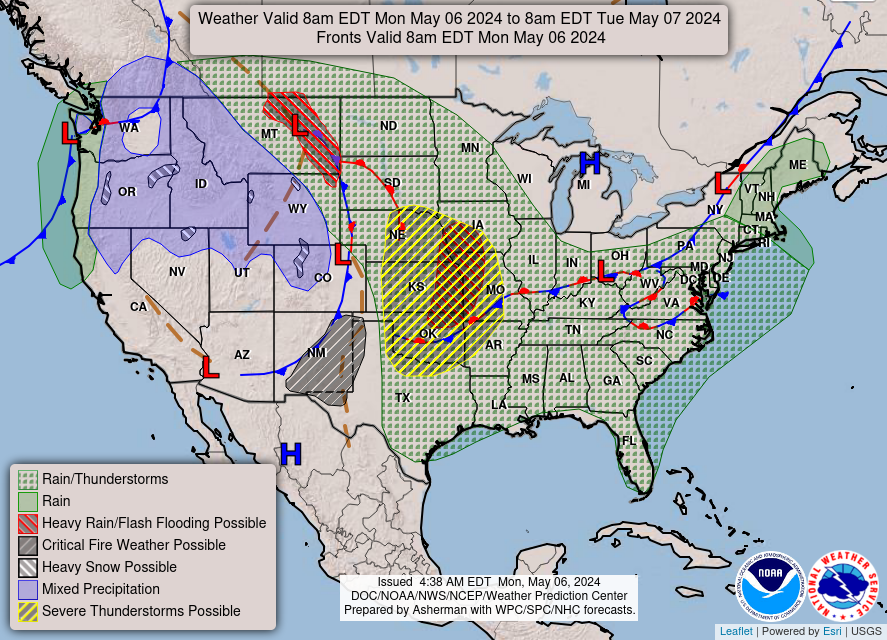
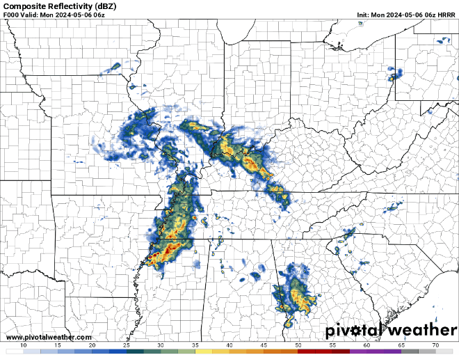
In fact, many of you likely have woken up as a result of loud storms making their way into WABBLES this morning; though this round isn’t as severe, we’ll continue to see wave after wave of thunderstorms through the weekend here in Southern Kentucky. But is there any break from the active pattern in sight? And how bad will things get? Let’s go over it together, in today’s weather blog!

Today’s Forecast
We’re ringing in the early morning with a lot of torrential rain and noisemaking thunder. While these storms are loud and definitely disruptive, they won’t be anything severe, or at least as severe as we might see later this week. Our morning rainfall won’t necessarily staunch the active atmosphere, however. After a brief period of clearing likely around the late morning/noon hours, storm chances increase once again as we head into the afternoon, as daytime heating kicks off new convection. Throughout this entire debacle we’ll be rocking high temperatures close to 80 degrees, which will only serve to fuel our pop-up storms more come the late afternoon and early evening.
Definitely keep that umbrella handy and avoid Fairview, if at all possible. But today isn’t the only day we’ll have active weather in the immediate future; numerous weather prediction models and the Storm Prediction Center have outlined Wednesday as a potentially significant severe weather day for WABBLES, so it’s time to start preparing now.
Active Severe Weather Wednesday?
As we previously mentioned, the Storm Prediction Center is eyeing a large swath of the Midwest and Ohio Valley areas for messy storms beginning Wednesday, as an Enhanced Risk for severe weather has already been issued for our Day 3 forecast. Below is the official Storm Prediction Center graphic, most recent as of 5:30 AM Central Time.
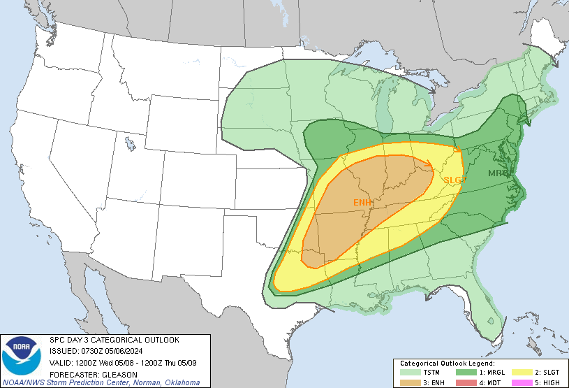
Since we are just slightly too far out for our fancy weather models to start putting together what this outbreak might look like, here are the facts. What we do know is that right now, all types of weather hazards are on the table: heavy rain, strong winds, large hail, and even a tornado or two all appear to be possible as we go into the evening hours on Wednesday, as this will likely be a nocturnal event. The only problem is that we don’t know exactly what mode the storms will take: whether we’ll see a solid line of foul weather push in overnight, or if we’ll have multiple individual storms that pack a punch.
The storm mode is pretty important when it comes to predicting active weather, so we’ll keep holding out hope that our models will give us an idea of what we’ll be looking at pretty soon. Regardless, know that we’re taking these storms very seriously, and so should you. We’ll continue to keep you updated here on the blog and also on our Twitter page, where we’re frequently posting the latest information regarding foul weather that may or may not impact our beloved WABBLES region. No matter what, be safe out there today folks, and make sure to tune back in here Wednesday morning to get the latest news on our active spring storm pattern. Until then, take care!