")
Good Monday morning, WABBLES! We’re back in the saddle again as scattered storms return to the region after a calm, comfortable weekend. Despite the opportunity for the return of lightning and thunder to WABBLES this evening, a positively beautiful week looks to be setting up once the cold front we’re watching passes through the region overnight. We’re digging into everything you should expect together here in today’s weather blog!

Today’s Forecast
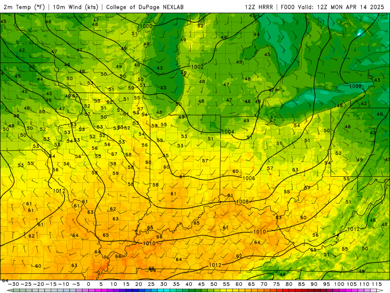
The good news is that all of us across the region will be able to enjoy most of our Monday in peace, as the scattered showers and storms we’re expecting only begin to move in starting early this evening. With highs in the upper-70s for most everyone, this’ll be the last day for quite a few days that we’ll get this warm in the afternoon, so savor the early summer feel while you can! Strong winds out of the southwest will make sure things don’t feel too warm, with some seeing gusts of up to 20 mph before the front passes through tonight. Keep it all in mind, and enjoy your Monday!
Timing of Storms
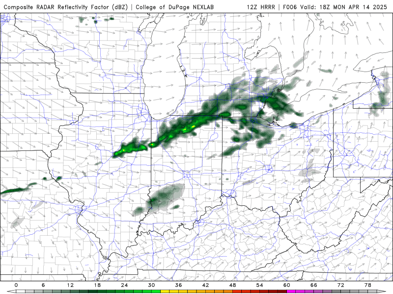
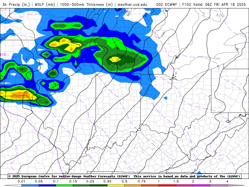
Let’s get into the nitty-gritty, shall we? The cold front that will kick off the scattered showers and storms here in WABBLES is currently expected to move through from about 4-6pm to midnight tonight, where any of us across the region could see some gusty winds and some isolated small hail with stronger cells.
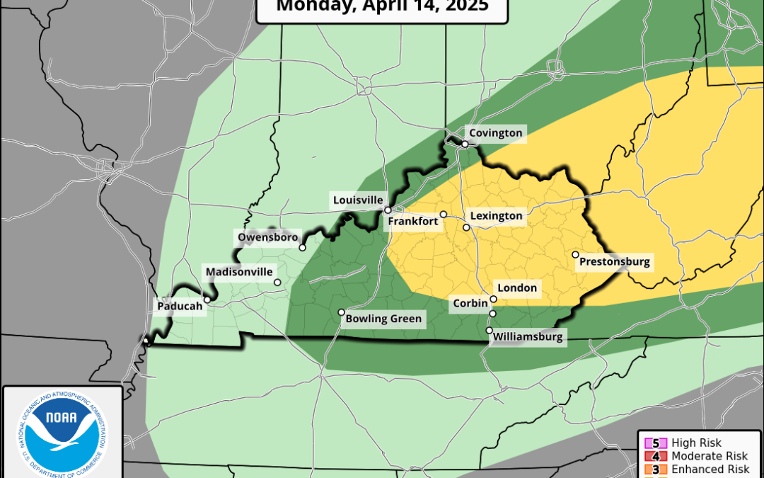
All the more dangerous conditions will be located much farther off to our northeast, where conditions are more favorable for stronger severe weather, like the possibility of tornadoes. The good news is that our severe risk is relatively low with this system, so the SPC has issued only a Marginal (1 out of 5) risk for our region this evening!
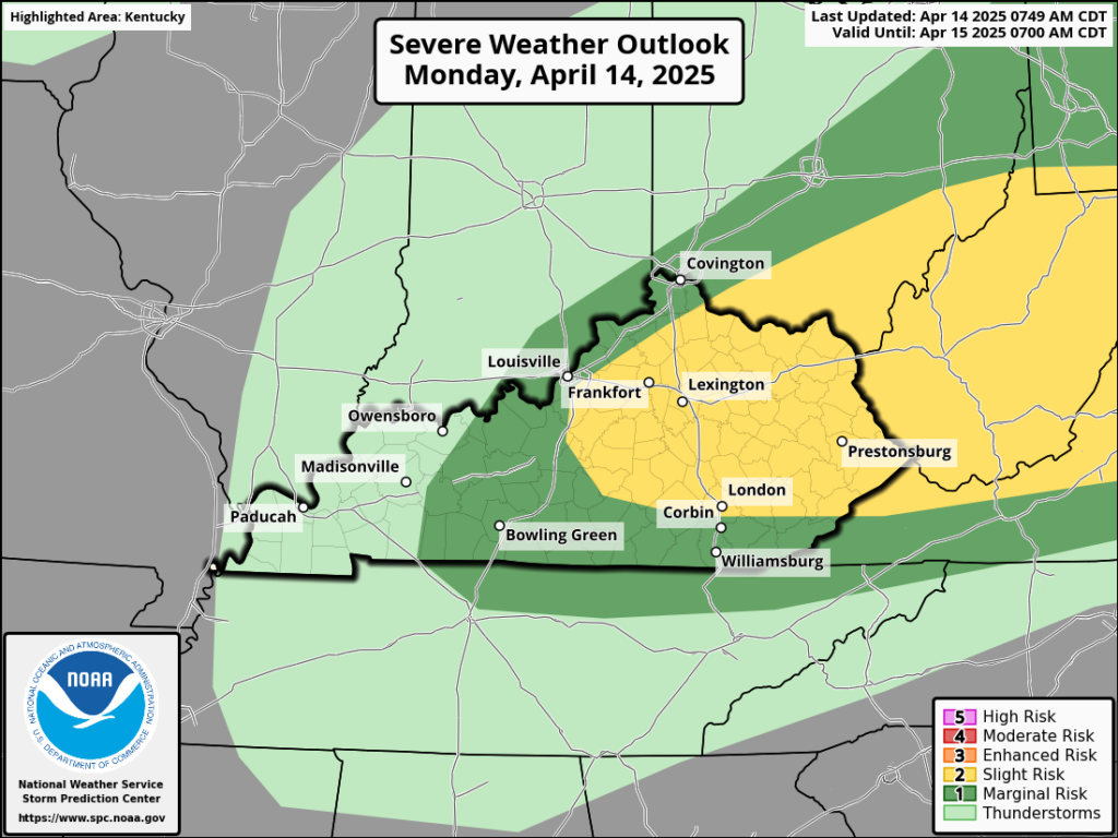
(SPC)
Once again, most of these storms will not be severe in nature, but stay weather aware in case some locally gusty winds or isolated small hail may cause the NWS to issue a severe thunderstorm warning. This system will be out before we know it, lining us up for a beautiful, slightly cooler week ahead… until the opportunity for more showers and storms returns just in time for the weekend!
And that’s about all that we’ve got for you today, WABBLES! Take care out there and make sure to stay aware this evening as the front passes through. We aren’t expecting anything crazy, but we should always be practicing severe weather safety this time of year. We’ll have additional blogs going out this week to cover the weekend system we’re keeping a lookout for, so expect more updates here as well as on our Twitter page in the coming days.
Stay safe, take care, and we’ll see you soon, folks!