")
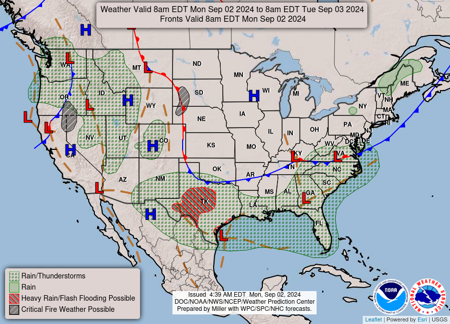
Good Monday morning WABBLES, and happy Labor Day! The holiday is bringing much-needed relief to our region as the heatwave we struggled with all week has finally moved out, thanks to the cold front that pushed through during the day yesterday. More comfortable conditions are in store for us over the next several days as we swap out some dangerous heat for breezy winds, temperatures in the low-to-mid 80s, and some casual rain chances to close out the work week. But how long will the cooldown last? And are there any more storms on the horizon? We’re going through it all together in today’s weather blog!

Labor Day Forecast
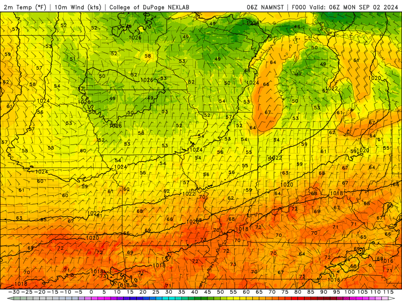
We’ve got some pretty stellar conditions in place for the holiday, as sunny skies with a light breeze and temperatures hovering around the 83-degree mark will kick off the week for us folks in WABBLES! Compared to the triple-digit temps of last week, conditions in the lower 80s will be like a dream, and they aren’t here for just one day only.
In fact, you’ll have the entire work week to enjoy much more fall-like outdoor feelings, as forecasted high temperatures this week aren’t expected to crack the mid-80s before precipitation chances return to the region and temperatures fall again. If you’ve been waiting out the heat to get some outdoor work done or have had hopes for a good holiday cookout forecast, today’s the day!
Okay, So What About Those Rain Chances?
I’m glad you asked! Right now, it looks like we’ll have a little mid-level shortwave action move into the region on Thursday morning and last through Friday, which could bring us some synoptic-scale lift, enhancing the possibility of precipitation occurring during that time frame. These rain chances will most likely take the form of scattered showers and not convective thunderstorms, as the cooler temperatures we’ll experience all week will ward against any sort of stronger summer storm.
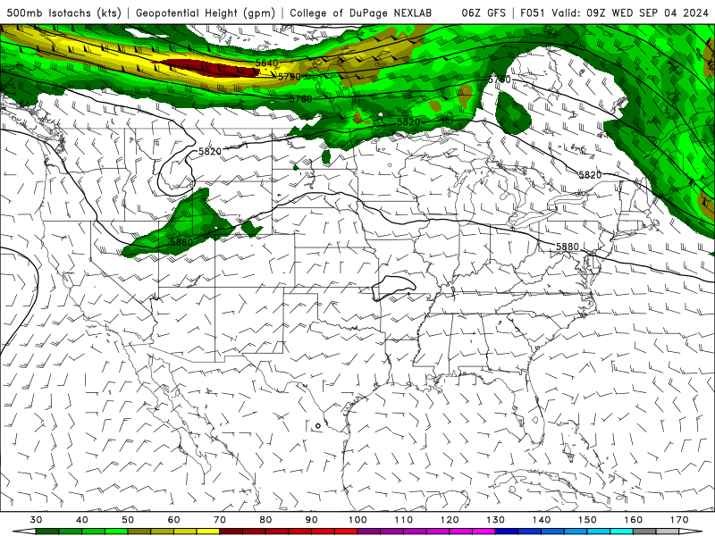
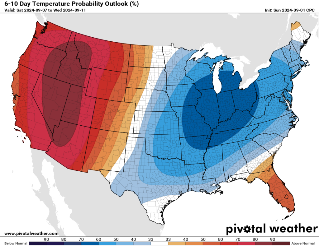
And then, following right after the possible shortwave disturbance (as you might have noticed in the GIF above), we’ve got another large digging trough that will bring in yet another sweeping cold front as we kick off next weekend! This could knock our high temperatures down into the 70s by Sunday, and ring in the second week of September with some much more fall-like conditions across the entire region. In fact, the Climate Prediction Center has issued their latest 6-to-10-day temperature outlook, and she is stunning.
With that being said, you’ve officially made it, WABBLES! This Labor Day marks the start of a much nicer stretch of weather across the entire region, and we’re sure you’ll be delighted by just how nice it is outside over the next week and some change. Despite this cooldown, however, it’s important to note that our climatological summer isn’t quite over yet, and we could see some more heat move into the area before the end of September if Mother Nature so decides. Don’t pack away the summer sun safety gear just yet, but make sure you enjoy the week that we’ve been given, because comfortable cooldowns like this don’t come all that often!
That’s about all we’ve got for you today, folks. Thanks so much for tuning in on this Labor Day, and all of us at wxornotBG hope that you have the most relaxing holiday possible! If you’re at all interested in keeping up with the rest of the week’s forecast, make sure to check back here periodically throughout the week to catch the blog once it goes out. And if you aren’t already, make sure to give the wxornotBG Twitter page a follow, so that you’re getting frequent real-time updates on our changing daily forecast as they happen! Other than that, take care out there y’all, and happy Labor Day!