")
Good Monday morning, WABBLES! Summer heat makes its triumphant return to the region today as some scorching temperatures rush in to keep us hot and dry through the end of the work week. With no significant precipitation opportunities in sight and some moderate dew point temperatures, we’ll likely see heat indices climb into the triple digits before Friday, when a storm system out west could sweep in and push out some of that dreadful heat. Just how bad will this little heatwave get? And will we truly see it end by the weekend? We’re going through it all together in today’s weather blog!

Today’s Forecast
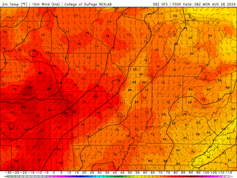
We’re kicking off this week’s scorching summer heatwave today, with high temperatures finally pushing into the low 90s this afternoon after spending all last week struggling to escape the 80s. We’re dry and calm across the WABBLES region as a whole, with light winds and little-to-no cloud cover ensuring everybody gets a taste of that scorching sunshine.
In fact, it’ll be a similar story for the rest of the week; clear skies, very little breeze, if any, and some bright sunshine will dominate each day through Friday night. Today will likely be the coolest day of the next several, so if you must be out and about outside this week, stay cool and take care of all those outdoor errands today!
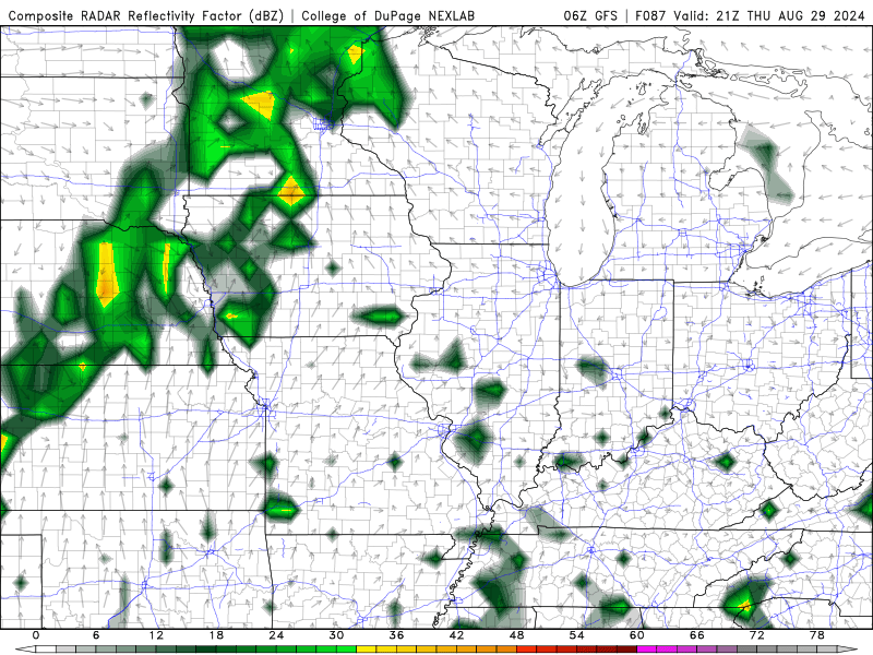
The Scorching Heat Ends Friday?
That’s the hope! Right now, Friday appears to be the last day with high temperatures in the mid-90s, indicating that the larger storm system we’re expecting to track across the region Friday night into Saturday morning may bring us some well-deserved relief; both temperature-wise and in the way of precipitation. Right now many of the details are fuzzy, but what we do know is that high temperatures are expected to return to the upper-80s by Saturday, and rain chances return to the local forecast overnight Friday.
We’ll know more about this system as we get closer to time, but we can at least reassure you that a break from the stout summer heat is on the horizon. Don’t give up hope! Just a few more weeks of this and then we’ll start to see that gradual decline into more fall-like temperatures… but until then,we’ll be searching for more ways to beat that scorching heat!
That’s about all we’ve got for you today, WABBLES! Please be safe out there this week if you’re planning on staying outside for any prolonged period of time; heat sickness and heat stroke are both very real and dangerous phenomena, so at least ensure you’re taking frequent breaks in the cool shade and staying hydrated.
We’ll be back here later this week with a new installment of the blog, but just in case you’re hankering for more forecast info between now and then, go follow our Twitter page! We post frequent updates on current WABBLES weather as it happens to make sure folks like you stay informed and stay safe. Until next time, take care out there y’all, and we’ll see you later!