

")

Boy, that was an active week around WABBLES, was it not? Rounds of showers and storms only broken up by oppressive heat and humidity. We’re approaching the dog days and it certainly feels like it, despite one more chance for some showers and storms this weekend.
Into the Weekend: Friday and Friday Night
We’ll start the weekend time frame like the work week left us: stormy.

We’re watching a frontal boundary trying to scoot toward the region. With the heat and humidity in place, it won’t take much of a trigger to spark scattered showers and thunderstorms. Any one of these storms could contain gusty winds and heavy rain just like we’ve seen throughout this week. Outside of that, highs look hot and humid, with readings making it into the lower to middle 90s, with heat indices closer to 100º.
Not much relief overnight, but storms should start to diminish a bit with lows back down into the lower 70s or so.
Weekend Proper: Saturday and Sunday
That frontal boundary continues to slow down as it works through the region early on Saturday. That should continue the shower and storm chances as we head into the afternoon…though slightly differently.

See, we won’t be watching storm complexes diving in from the northwest so much as watching that hung up boundary become a focusing mechanism for showers and storms. As we heat back up into the lower and middle 90s during the afternoon and evening hours, we’ll see showers showers and storms bubble up yet again.
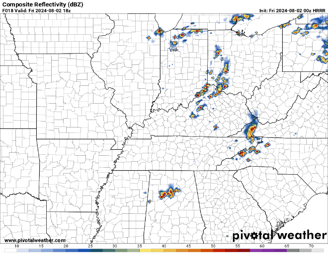
Widespread severe weather doesn’t look likely, however we’ve seen enough wet weather and storm activity this week that it won’t take much to see a few instances of gusty winds or localized flooding as we head through the afternoon and evening. The good news is that the storms should start to diminish as we head into Saturday night. Things stay muggy, though, as lows only fall back into the lower 70s or so.
Heading into Sunday…we actually have changes on the way! Good changes!

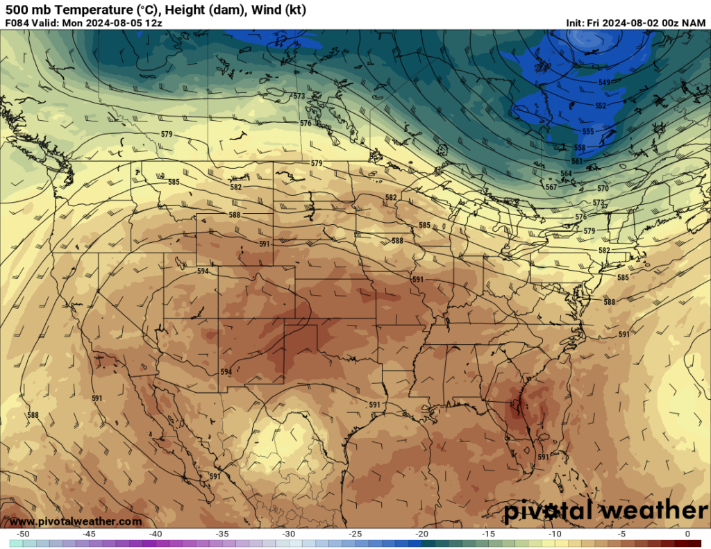
This frontal boundary will be ushering in an eastward shift in the heat dome ridge across the south central states, finally bringing at least a temporary end to the incessant rain and storm chances.
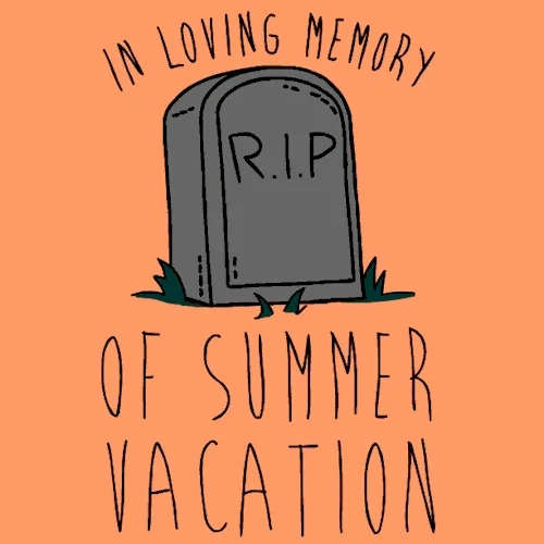
I can’t rule out an afternoon storm or two, especially in the far eastern parts of WABBLES, but things look drier as partly cloudy skies take over as many of the kiddos wrap up their final weekend of summer vacation.
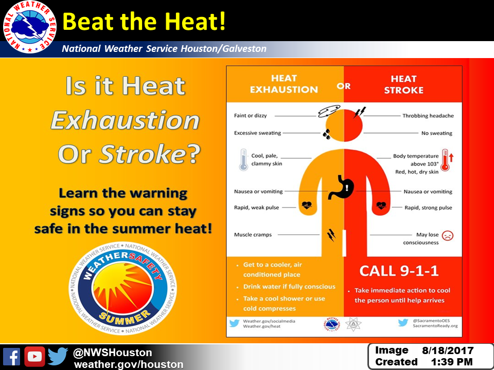
Highs remain hot, though, with readings climbing into the lower 90s. Heat indices look to feel closer to that 100º mark. Absolutely looking like a pool day, just don’t forget that sunscreen!
Overnight, we clear it out, but keep it mild and muggy as lows fall back to around 70º or so.
Looking Drier Into Next Week
Trading one annoying weather phenomenon for another as we head through next week.
The good news is that plenty of sunshine looks to be in the offering for the first half of next week!
The bad news is that the heat dome across the southern plains will be scooting into our region…so we’re looking at highs up into the lower to middle 90s.

Yeah, I know. It’s a season of trade-offs. While it will be nice to see several dry days on the way, we don’t really need the potentially excessive heat that comes along with it.
Sunshine will be abundant, and helping combine afternoon highs in the 90s with dew points near 70º to create heat indices in the 100-105º range each afternoon…so remember those heat precautions!
Overnight lows don’t help us much because the muggy air will keep us in the lower to middle 70s, despite clear skies overnight. The school year may be starting soon, but summer is still heating up.
That’s it for me for now! You can always keep up with the latest on all of our social media platforms. Have a tremendous day and a great weekend!