

")

If you’ve been searching for pool time this week amid the widespread rain chances in WABBLES, I finally have at least a bit of good news as we head into the weekend.
Into the Weekend: Friday and Friday Night
Our frontal boundary from the past few days will try to sink south of the region as we head into the final day of the work week. Emphasis on try.

Like many days this week, I think we’ll start on the dry side with a mixture of clouds and sun. That will allow us to heat nicely into the middle or even upper 80s as we head into the afternoon. With that frontal boundary still lingering like a house guest who hasn’t figured out that the homeowner is trying to move on with their day, we’ll see some showers and storms bubble up in the afternoon. Emphasis on some.
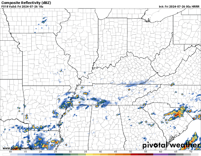
I think they’ll be more widely scattered than what we’ve been seeing lately, but if you get caught under one you will get a nice downpour for 30-45 minutes or so. They should begin to diminish once we get past sunset and we lose some of the energy to pop them up. We stay mostly cloudy and steamy overnight as lows fall back around 70º or so.
Weekend Forecast: Saturday and Sunday
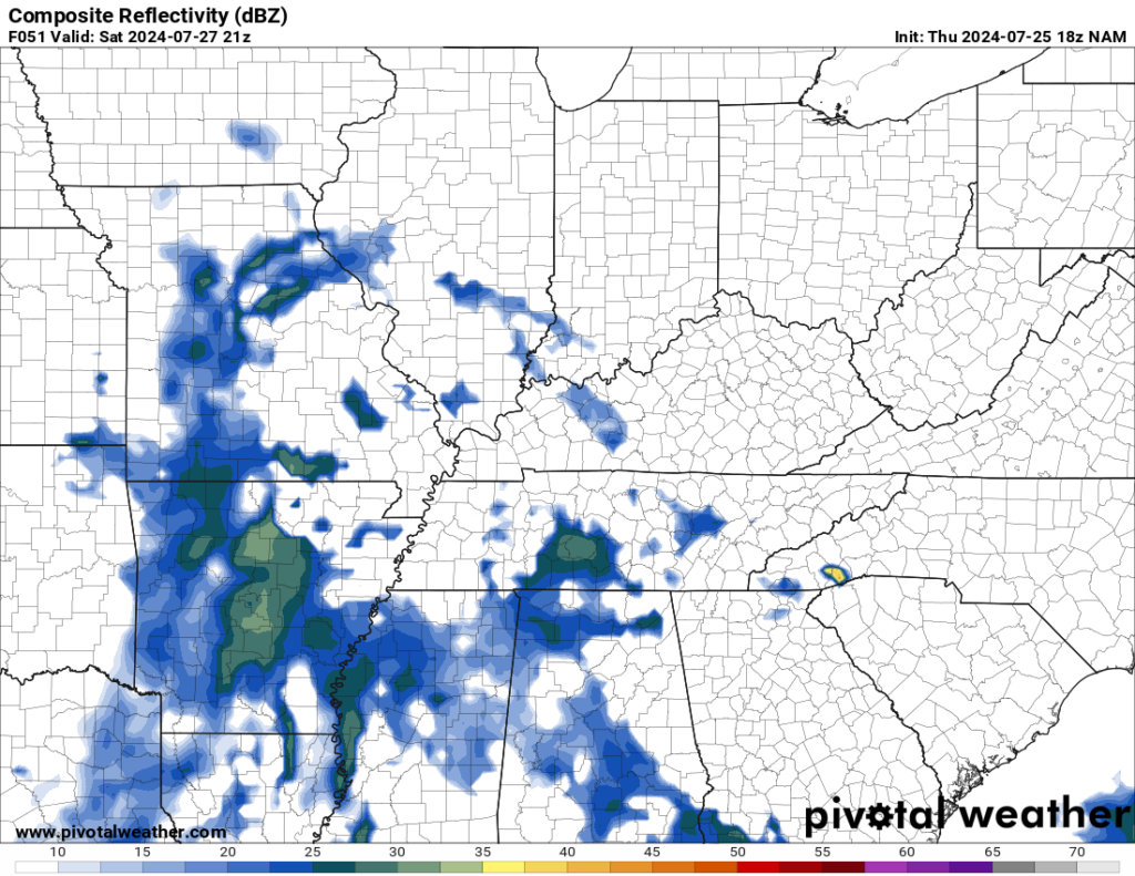
At this point, it still looks like Saturday is our drier of the two weekend days, but I still can’t completely rule out the potential for a wayward downpour.

That frontal boundary is still around, so as we heat up into the middle and upper 80s yet again, we’ll continue to watch the potential for more widely scattered showers and thunderstorms developing in the afternoon. So if you find yourself on the lake, river, or just in the pool…keep an eye to those skies.
Like tonight, we’ll again see pop-up chances fade as the sun dips below the horizon. However, we’ll still see no relief from the mugginess, with overnight lows hanging around 70º. And that’s just a prelude of things to come.
By Sunday, we’ll watch a ridge of high pressure starting to set up out west. This will allow the northern branch of the jet stream to try to sneak into the region as we head into early next week. As it does, we’ll watch weak impulses dive into the Ohio Valley. That, combined with Gulf of Mexico moisture, will lead to more toadstranglers as we head into Sunday afternoon.
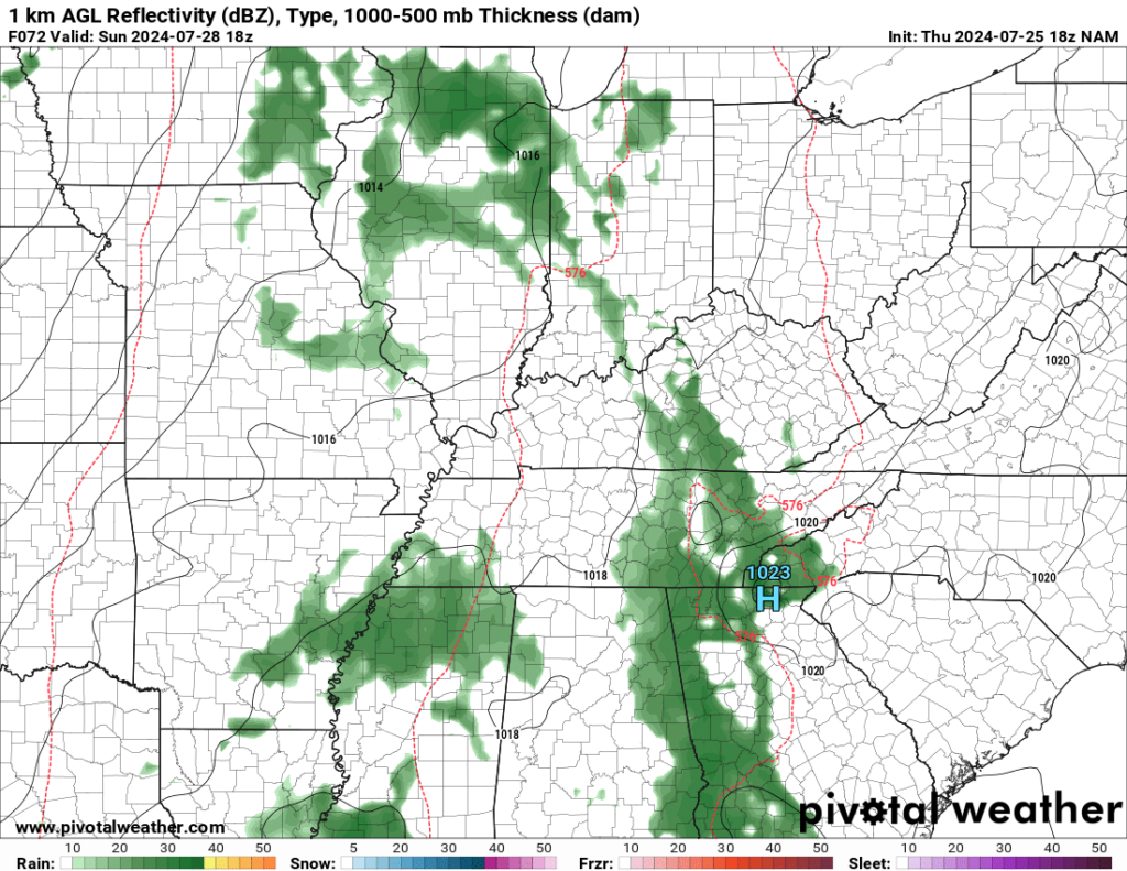
Some of these dazzling downpours may continue even after dark, which should help keep the atmosphere’s soupy complexion in place as low only dip into the lower to middle 70s.
Beyond the Weekend: Active Look to Next Week
We’re looking to get pretty well stuck in this pattern as we head through the early days of next week. That will lead to daily chances for showers and thunderstorms as these hard-to-time impulses work into the region.

It certainly won’t rain constantly, but any storms we do see Monday, Tuesday, and into Wednesday will likely bring us heavy rain that could lead to some localized flash flooding. I also can’t rule out a spotty damaging wind gust or two or some small hail. We’ll keep temperatures on the warm side, as the mercury flirts with 90º or so in the afternoons.

Beyond mid-week, we may try to see a frontal boundary attempt to sink south of the region bringing us a renewed chance for more showers and storms before a brief break toward the beginning of next weekend. We’ll continue to keep you posted.
That’s it for me for now! You can always keep up with the latest on all of our social media platforms. Have a tremendous day and a great weekend!