

")

It has been a hot and stormy week throughout WABBLES so far, and we’ll continue that pattern as we head through Memorial Day weekend. In fact, as we head toward Sunday, it looks like we’ll see widespread chances for a severe weather episode as we head through the day.
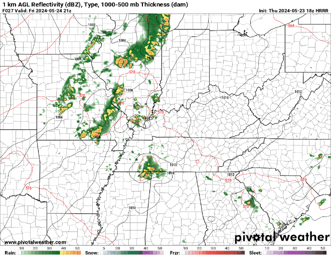
Friday and Saturday
We’ll have to keep an eye on yet another round of storms trying to push through from the west as we head through the afternoon and evening hours. Yet again we could be watching severe weather trying to make its way through the region. Damaging winds, large hail, and heavy rain look to be the main threats.
Daytime highs look slightly milder, though, thanks to some early day cloud cover as we peak things in the upper 70s to lower 80s. Some showers and storms continue into the overnight hours as lows fall back into the lower to middle 60s.
Heading into Saturday, we’ll continue to watch a few downpours developing in the afternoon, but many of us just stay dry and hot as highs make a run into the middle 80s, with plenty of humidity to make it feel even warmer. Not a bad pool day if you can dodge a storm or two.

Some showers and storms may try to make a run back at us as we head into the overnight hours ahead of our powerhouse system. But otherwise, we’ll be quiet, with lows in the middle and upper 60s.
Severe Weather Outbreak Potential on Sunday
For several days now, models have continued to indicate the potential for strong to severe thunderstorms pushing into the Ohio Valley as we head through the day on Sunday. Some of these signals have been rather strong indicating our potential.
Setting it up, powerful low pressure will be spinning up off the front range of the Rockies, and starting to move through the mid-Mississippi Valley. It will be moving into an environment that is set to have more than enough instability, and adding in quite a bit of wind energy, including the turning of the winds with height. Some models are indicating the possibility for a morning to midday round of storms that could bring gusty winds and heavy rain to the region.
That will set the stage, especially if we can get any sunshine, for severe weather in the afternoon and evening hours. As the cold front closes in on the region, we’ll see thunderstorms flourish to our west, likely as supercells. These storms will have the potential to produce very large hail, damaging winds and, yes, even tornadoes. We also can’t rule out storms firing off in the afternoon as we warm things up. As those storms start to move toward WABBLES in the late afternoon and evening, we’ll see these storms try to cluster up into line segments called a “QLCS,” which bring with them the threat for damaging winds, heavy rain, and isolated to scattered tornadoes. There are certainly still some questions that need to be answered though.
While the pattern is there for potentially significant severe weather, a reminder that none of this is set in stone! How various storm systems interact with one another, the exact track of the low, and whether or not we see morning storms will all factor in to our severe weather chances. You’ll definitely want to monitor our social media platforms as we head through the next few days for the very latest.
Toward Next Week
More scattered showers and storms will be possible as we head into Memorial Day, especially early in the day, but the greatest severe weather threat should move down to our south. We’ll try to usher in some milder and drier air as highs only make it into the upper 70s to near 80º. Rain chances start to diminish as we head into Monday night, with lows near 60º or so.
The pattern looks less messy as we head toward the middle of next week, as we finally dry out and calm down. Highs look to park themselves in the upper 70s to lower 80s for Tuesday and Wednesday.
That’s it for me for now! You can always keep up with the latest on all of our social media platforms. Have a tremendous day and a great weekend!