After a remarkably active work week with plenty of storms, we’re finally quieting things down around here…just in time for mom to enjoy a wonderful Mother’s Day weekend!
Starting the Weekend: Friday and Friday Night
We’ve got a weak disturbance that wants to dive on through the region on the back side of this week’s nightmare low pressure.

Shouldn’t do too much outside of throw a stray shower our way during the day, but other than that, we’re looking partly cloudy and quite a bit cooler, as highs only make it into the upper 60s to near 70º throughout the region.

Light northerly winds will continue to usher in that cooler and drier air as we head through our afternoon and evening on Friday. With that drier air, it’s almost windows open weather overnight with mostly clear skies and lows hovering around 50º or so…not too bad at all!
Mother’s Day Weekend: Saturday and Sunday
We let the good times roll (and to be quite honest, we’ve more than earned them!) as we head on into Mother’s Day Weekend.

High pressure will begin to settle into the region as we head into the day on Saturday, meaning we will be quite dry as we head through the afternoon and evening hours on our Saturday. Highs will be quite pleasant as well with the cooler and drier airmass in place, into the lower to perhaps middle 70s in some spots…perfect for mom!
Clear skies continue overnight as we fall back into the lower 50s, perhaps even upper 40s in the more rural sections of WABBLES.
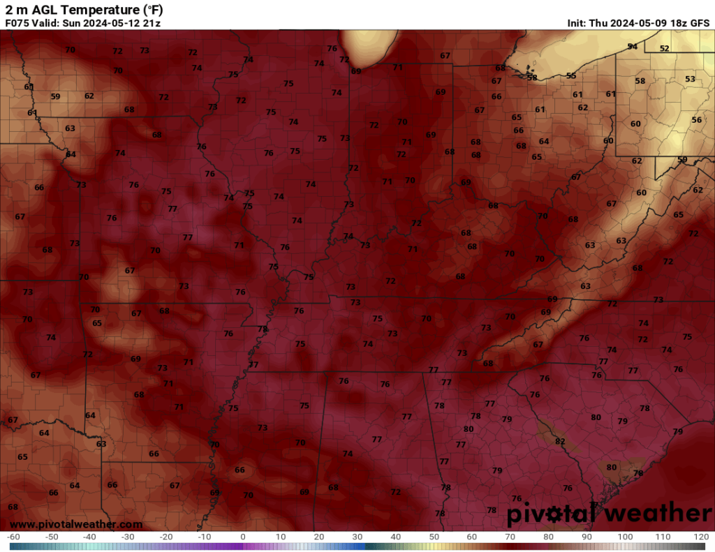
As we celebrate mom on Sunday, we’re looking even better!

As high pressure scoots slightly to the east, we’ll introduce some slightly warmer air into the region, but we’ll keep the same sunny skies in place as we head through the afternoon. Perfect for a picnic at the park for Mom! Or even just a cup of coffee on the back porch.

We’ll make it into the middle and upper 70s for daytime highs on Sunday with that slightly milder air. Said air will also come with a touch of moisture, but nothing too crazy. Overnight lows are back into the middle 50s as we sneak a few clouds into WABBLES
Beyond the Weekend
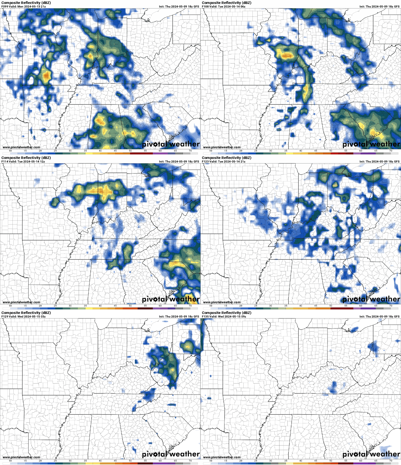
As we wrap up the weekend, we’ll be watching a weak disturbance scoot into the region into the day on Monday. We should keep it dry early, but a few downpours may be possible as we head into the afternoon and evening hours. Nothing looks widespread as we settle into the upper 70s for highs.

Beyond that, things look a little unsettled. I mean, not as unsettled as we just went through, the normal amount of unsettled. Weak disturbances will try to kick through the region as we head through the middle part of next week, which could result in some daily chances for scattered showers or thunderstorms, mainly in the afternoons. No big weathermakers look on the horizon for now, but we will be warming up back into the upper 70s and lower 80s Tuesday, Wednesday, and Thursday as we watch late spring continue to creep up on us.
That’s it for me for now! You can always keep up with the latest on all of our social media platforms. Have a tremendous day and a great weekend!

