")
Good Monday morning, WABBLES! June has finally arrived, and we are sure not going to shy away from its warming temperatures this week! We’ll keep our dry conditions for a bit longer as we kick off the month, before another chance of rain and storms make their way in towards the end of the week. But without further ado, let’s get into it!
Today’s Forecast
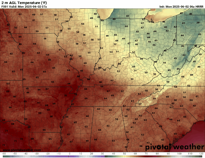
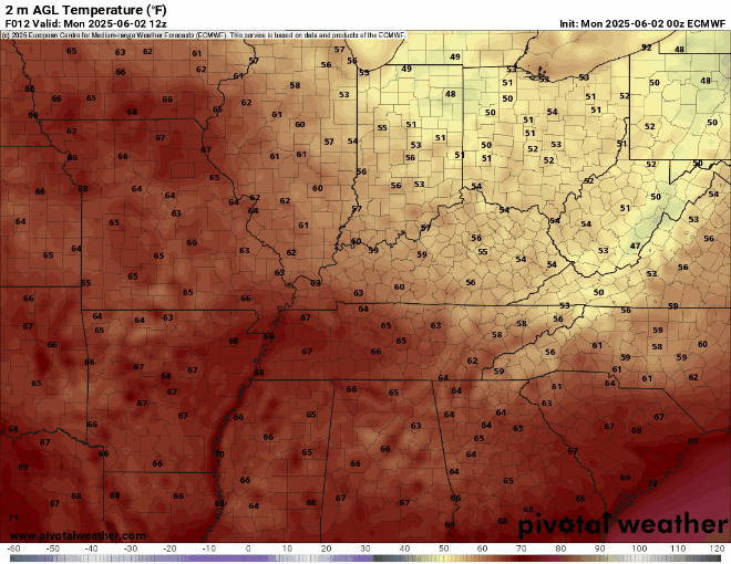
I know we have been enjoying these cooler and breezy days this weekend, but warmer temperatures are on the horizon. That high-pressure system is still influencing us, so today will be another pleasant day for WABBLES! We’ll be warming back into the lower to mid-80s, with sunny skies and a nice breeze from the east.
Sunny to rainy later this week
The good news with this heat is that there are more pool days on the menu this week! As we switch to a more southerly wind flow, temperatures will continue to rise for the next couple of days. We’ll keep those sunny skies and see those temperatures reach into the upper 80s and lower 90s at some points Tuesday and Wednesday.
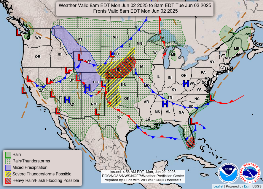
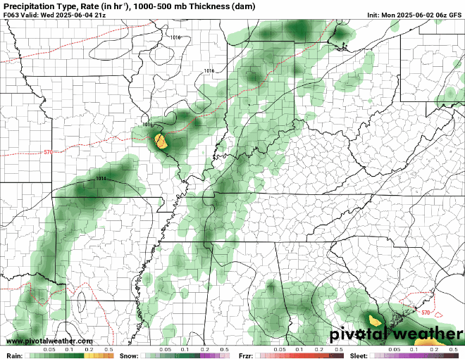
Rain chances increase as we head into Thursday evening and Friday, as a cold front starts to push into the region. This front will potentially stall to the west of us, but a line of rain and storms will still try to creep into the WABBLES region, bringing the potential for some heavy rain.
So, try to stay cool out there this week as we enter another warm pattern. Remember to stay weather-aware as we continue through these ever-changing weather patterns. You can follow our social media to stay updated with current weather information. Until next time… WABBLES!