

")
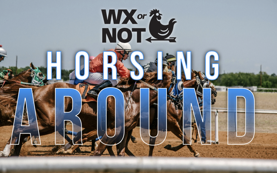
It has been a notably stormy week around WABBLES, and while storm chances are going down, Mother Nature is still horsing around by keeping showers around into perhaps the state’s most important weekend.
Getting Annoying: Friday and Friday Night
Showers and storms have been a seemingly incessant part of the forecast for the last week or so, and there are more on the way as this pesky low pressure doesn’t want to move.

We’ll be watching another lobe of energy from this low pressure system pushing into the region, which will likely bring more showers and thunderstorms to the region during the day.
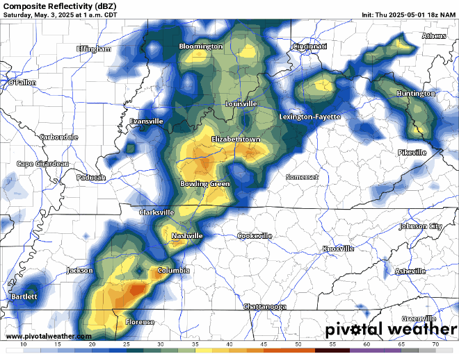
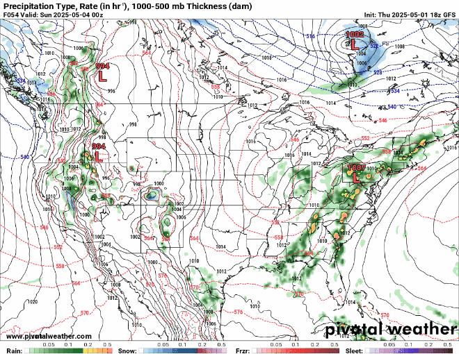
[pivotal gif]
We’ll have to watch closely, especially if you’re headed up 65 to a certain racetrack where some fillies might be running for some lilies in the afternoon.

Even with scattered showers pushing through, highs will remain on the warm side, as highs get back into the upper 70s. Warm, yes, but cooler than the past couple of days.
As the sun goes down, we’ll see temperatures drop a bit, but only into the middle 50s as scattered showers relax…temporarily.
Horsing Around in the Rain: Saturday and Sunday
It continues to look increasingly likely that, while the low that plagued us going back to early parts of the week will finally move on, the upper level energy that helped spawn it doesn’t want to budge.

For us, this means that we’ll never be completely clear of shower chances as spokes of energy continue to swirl around this annoying whirlybird.
Unfortunately, this looks to have some adverse weather effects on perhaps the most important day of the year for this a-here Commonwealth and the haberdashers throughout it.

In short? Showers. Showers continue into the afternoon of the Kentucky Derby. If you know anyone headed to the track, make sure they fasten the fascinators and grab the ponchos because more showers will continue to pinwheel through the pegasus party.
It will be tough to accurately ascertain who will be affected and when, but much of the Commonwealth has a shot at showers as partly to mostly cloudy skies stay locked in. The cooler influence of northwesterly winds will keep things from getting too mild. Highs look to peak in the lower 70s here in WABBLES, while areas closer to Churchill Downs may hang in the upper 60s.
Showers should diminish again as we set the sun overnight. Even with clouds hanging around, things will stay somewhat crisp by early May standards as lows fall back into the upper 40s.
More of the same old, same old as we head into the day on Sunday.

The core of the low may start to meander a little further to the east, which should provide us with perhaps a little bit more in the way of afternoon sunshine, but that will only help blossom more showers.
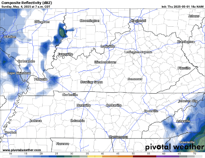
We’ll continue to keep an eye on it through the afternoon hours. By no means will any day be a washout, but if you have outdoor activities planned, have a plan B to bring it inside for a few minutes if showers move through. We’ll continue to stay on the cool side as well, with highs again only making it near 70º, with overnight lows back near 50º as we slowly clear out.
A Slow Warming: Into Next Week
Even as out cutoff low continues to slowly meander out of our hair, we still could be dealing with showers as we head into the early parts of next week.
However, I think as it meanders east, we’ll see at least a little more sunshine on Monday afternoon, which should help boost highs back into the lower to middle 70s. However, lower humidity values will keep it comfortable and even cool again overnight as clear skies allow lows to fall back into the lower 50s.
We may get a brief reprieve as we head toward the middle of the week with more afternoon sunshine for Tuesday and Wednesday, but highs will begin to warm back up as afternoon temperatures make it back into the upper 70s and back near 80º.
That’s it for me for now! You can always keep up with the latest on all of our social media platforms. Have a tremendous day and a great weekend!