")
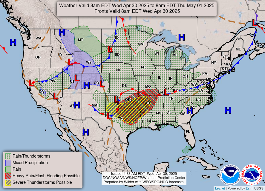
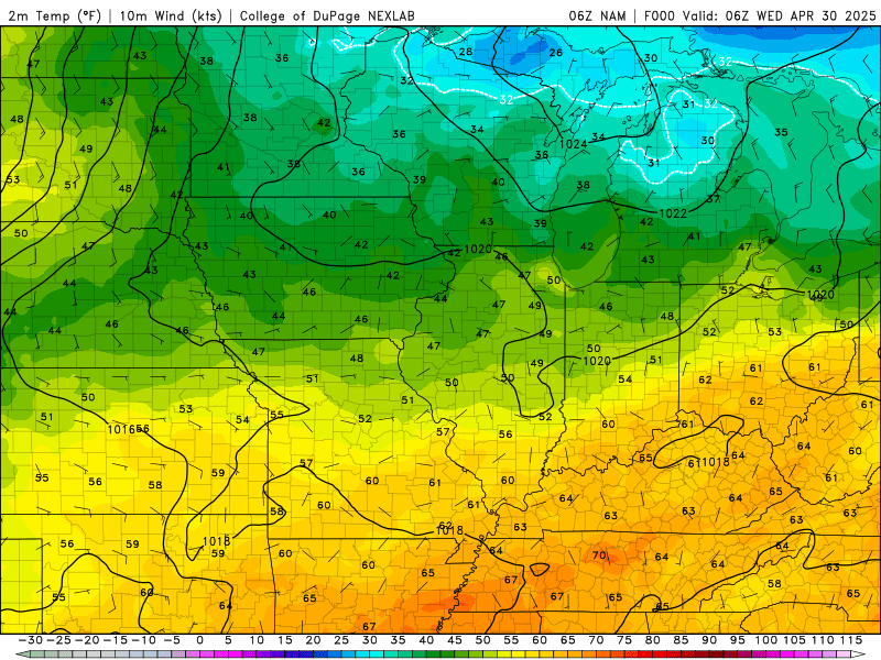
Good morning WABBLES, I hope you slept good to those thunderstorms rolling through last night. It’s been hot and muggy these last couple of days and if you’re waiting on it to cool down a little you have to wait just a couple of days. As we ring in May in the most typical spring way we can. Keep those umbrellas handy and get ready for some ups and downs to close out the week with today’s blog.

Todays Weather
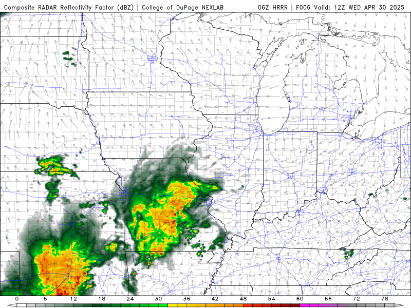
Those thunderstorms that rolled through occasionally really early this morning aren’t quite done with us. Some folks here in WABBLES may see a spotty shower or two heading towards the afternoon and evening. For the northern counties of WABBLES is looking at a 1/5 risk with all threats being on the table for today. The rest of us are just dealing with a soaker in what could’ve been a nice day. Our high will be in the low 80’s and it looks to be another muggy day outside.
Bring on May
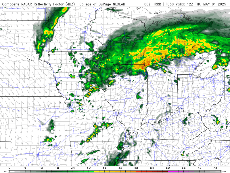
We will continue this trend of hit or miss thunderstorms tomorrow as well. As the front tries to work its way across WABBLES it looks to fizzle out a little bit. However, initiation looks to occur around WABBLES. I would say some scattered showers in the morning hours and transitioning to a possible thunderstorm in the afternoon. We are all under a 2/5 risk for Thursday with all risks on the table
Friday a double whammy of a cold front gives us another cool down. We will see some scattered showers on Friday during the day but heading into Friday evening is when that second cold front works its way through WABBLES. We’ll see a bit of a cool down from where we’ve been at this week heading into the weekend.
WABBLES, I know this isn’t the forecast you were hoping to see today as we kick off May. It’s springtime and this severe weather will be sticking around for a while, even if the threat is minimal, make sure you stay up to date with our Twitter. I hope you all have a good rest of your week, and we’ll see you on Friday.