

")

Following an unsettled finish to the week around WABBLES, we’re finally looking to enjoy a calmer weekend around the region. However, there are still some showers and storms to work through first.
Stubborn Stationary Front: Friday and Friday Night
The stubborn stationary boundary that has been a focus for showers and storms for the past couple of days now is finally poised to scoot through the region.

However, as these systems so often do, we’re going to have to deal with one last shot of potentially heavy rain as a low pressure system finally kicks this front out of the area…for now.
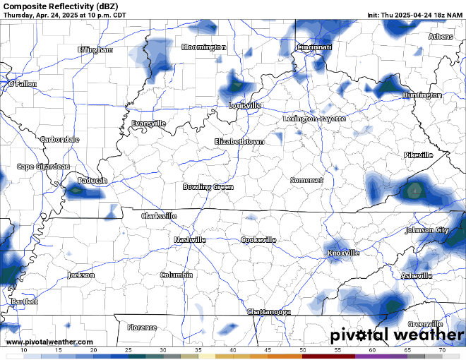
Scattered showers and thunderstorms will likely be ongoing or nearby during the morning commute around the region before a brief lull works in during the late morning and afternoon, before another disturbance kicks showers and storms back up for the afternoon and evening hours.
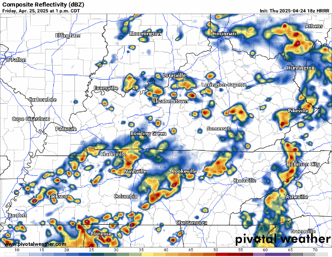
Just like previous days, this pattern looks summerlike. So, while widespread severe weather is not expected, I can’t rule out some heavy rain or brief gusty winds with any storms that we see.
In between showers and storms during the day, highs should make a run into the upper 70s yet again. Overnight lows stay mild, only back into the 60s as showers continue to scoot on through the region.
Drying Out: Saturday and Sunday
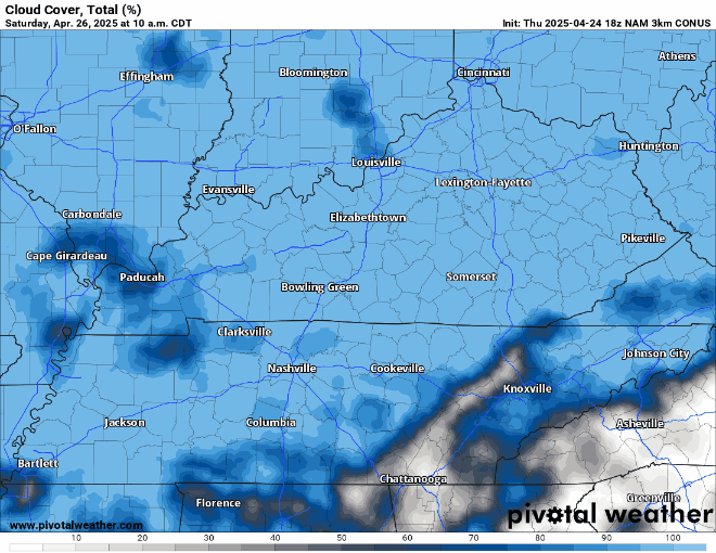
Our cold front should finally be making it through the region as we wake up bright and early on our Saturday.

We’ll switch those winds around to the north and west, which should allow the clouds and showers to begin exiting off to the east toward midday and into the afternoon after clouds linger for the morning.
Longtime readers and listeners know what usually accompanies a northwest wind, but for the uninitiated:

That’s right, we’re likely looking at cooler air filtering into the region as we head into the afternoon on Saturday. Thanks to early clouds and the northerly wind component, highs should only make it into the lower 70s during the afternoon. Man, that’ll be a nice afternoon!

Partly cloudy skies overnight will allow lows to fall back into the upper 50s with the dry airmass in place.
More of the same expected for Sunday, which may turn out to be the pick of the weekend.
High pressure will settle into the region, allowing plenty of sunshine once again as light northerly winds will keep highs in check, in the lower to middle 70s throughout the region. Another great day to be in the great outdoors!

However, clouds begin to increase little by little as we head into Sunday night as we watch our pattern shift back toward a warmer and potentially stormier set up as we head into the new work week. Before that, though, partly cloudy skies should take us through Sunday night with lows in the middle to upper 50s.
Warm and Active: Into Next Week
The frontal boundary that finally pushed to the south on Friday will try to sneak back to the north as a warm front as we dawn on the final week of April.

That may come with a spotty shower here or there, but the big story to start the week looks to be the heat. We’re not all the way to mid-June, but potentially the warmest we’ve seen of the year so far.
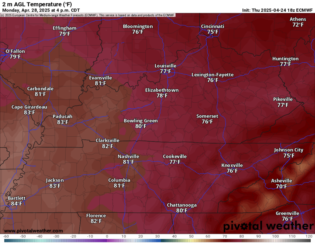
Highs look to surge up into the 80s yet again, a little bit ahead of schedule for late April. However, we’ll also see the return of some muggy conditions as dew points surge into the middle 60s during the afternoon hours. Even overnight. We’re dry and partly cloudy, but lows only fall back into the middle 60s.
Spotty storms will be possible again on Tuesday as we watch a frontal boundary set up to the north and west provide chances for severe weather to parts of the Great Lakes and northern Mississippi Valley. For us, warm and muggy conditions continue with highs up into the middle and perhaps upper 80s.

That frontal boundary will try to sag southward but get stuck on Wednesday as it’s parent low pressure system races away. That means that we’ll once again have a front around that will serve as the focusing mechanism for potentially widespread showers and thunderstorms toward the middle and end of next week. The active pattern continues as we head into the final month of meteorological spring!
That’s it for me for now! You can always keep up with the latest on all of our social media platforms. Have a tremendous day and a great weekend!