")
WABBLES, I hoped you enjoyed the rain yesterday because unfortunately it’s not over. Now I do have some good news, you will get a slight break from it and some more normal temperatures. That does come with the cost of more rain this weekend. With this comes the threat of possible flooding. Get ready for it all as we break down what’s to come to close out the week.
Wet WedneSDAY
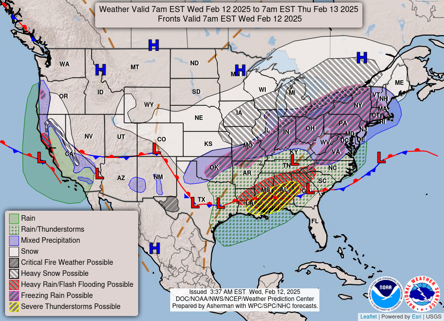
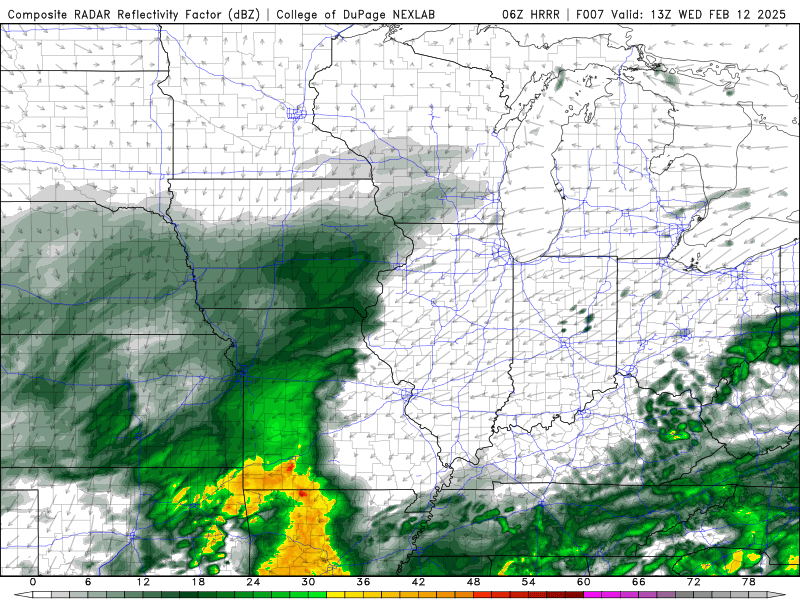
Today we see the second round of precipitation to add on top of yesterday. Today mostly looks to be widespread scattered showers moving across the area throughout the duration of the day. Precipitation amounts look to be between 0.25 and 0.35 of an inch. Just be aware of low-lying areas as this amount adds onto what we already got from yesterday.
We also look to see a bit of a temperature increase today as a warm front tries to beat the cold front that’s to come. Our high will sit around the mid 50’s for today, and we will see our temperatures drop significantly in the late evening hours. with this the rain looks to continue being dragged by that cold front. As well as a very slight possibility of a snowflake in the overnight hours.
The Break
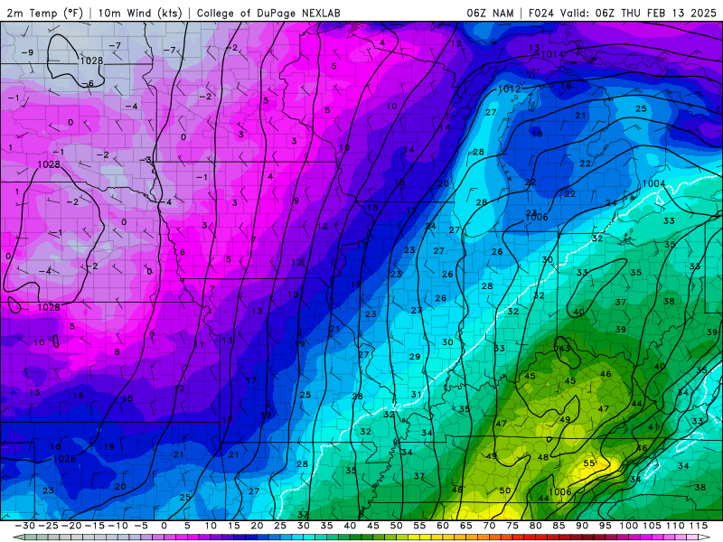
Tomorow the high unfortunately will occur right after midnight, as that cold front sweeps its way into WABBLES. Temperatures look to continue to drop throughout the day into the upper 20’s possibly. Now here’s the break, as we see some cold air entering the region leading to some sunshine in our forecast.
Friday we also look to be mostly sunny out there as this trend continues. Our temperatures try to fight the cold and push us into the upper 40’s for our Valentines Day.
The Rain is Back
This is the area of concern in our forecast WABBLES. We see another round of precipitation come our way and add even more to our totals. While it is a few days out and the models aren’t fully agreeing about totals quite yet. What we do know is that this will dramatically add to our totals for several areas of WABBLES.
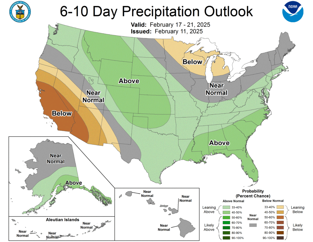
Avoid low lying areas and keep updated in Fridays blog as we get closer to the event to get a full understanding of timing and totals. River levels for much of WABBLES may be dramatically increased and we will keep you updated. The Climate Prediction Center is showing we will be on the wetter side of things over the next week.
WABBLES, while the rain persists tomorrow, enjoy the break we’re about to get. Things are about to get really wet out there as we go into the weekend. Stay up to date with Friday’s blog and our Twitter. We will let you know more about the timing and amounts as the models agree better. Just remember if flooding does occur, “Turn around, don’t drown”. Be safe out there and have a good rest of your week.