

")

It has been a wonderful week throughout WABBLES, thanks to multiple days of sunshine and plenty of mild air keeping highs above normal. At least one of those trends looks to continue as we head through the weekend.
Spotty storms?: Friday and Friday Night
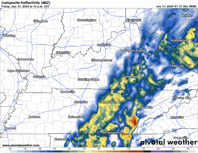
Our nice soaker continues to scoot out of the region after a rather soggy overnight around WABBLES.

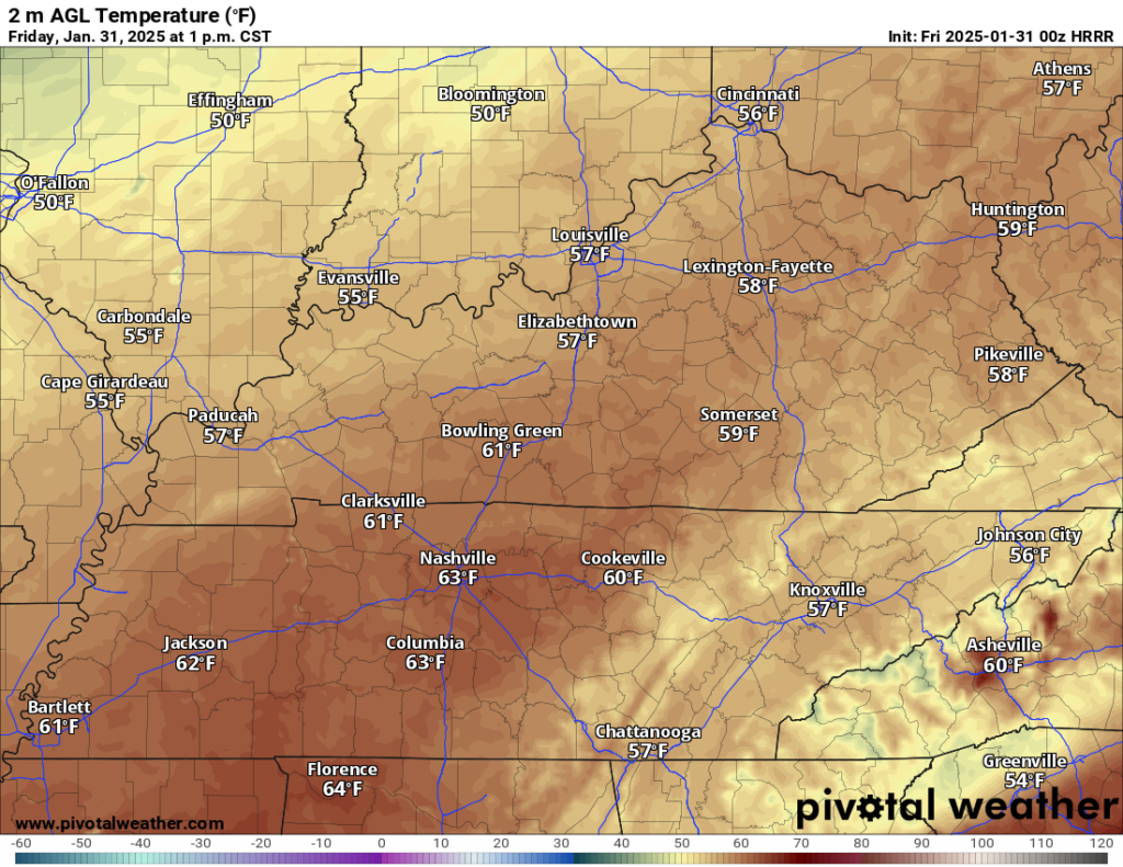
We’ll continue to watch the bulk of the rain exit as we head through the morning hours. As it does, even with some clouds hanging on, we’ll see temperatures spike up into the middle 60s for highs! That especially looks to be the case if we can get some sunshine in here during the late afternoon, though that may have it’s own issues.
Despite the bulk of the rain pushing out, another spoke of energy related to this whole system may attempt to touch off some scattered thunderstorms…yes, thunderstorms…in the afternoon and evening hours. I’m not expecting huge issues, but it’s something we’ll keep an eye on; some gusty winds and heavy rain can’t be ruled out.
Clouds may attempt to fill back in during the overnight hours. Either way, lows should settle above average again, with readings in the lower 40s.
Weekend Improvement: Saturday and Sunday
Our annoying weather system should start to work out of the region as we officially flip the calendar to February.

Some clouds may hang around a bit during the early bits of Saturday, but I would expect an increase in sunshine as we head past the lunchtime hour. The airmass on the backside of this particular front is not particularly wintry. As a matter of fact, we’re looking closer to pacific air than arctic air.

That means the highs will be mild again by early February standards, with readings pushing back into the lower 50s or so during the day. A few clouds will try to work in with a weak system during the overnight hours. That should keep us from getting too chilly overnight, with lows only in the lower 40s.
More of the same as we head into the day on Sunday, as WABBLES remains in the midst of a pacific airmass.

Plenty of sunshine is on the docket again as our area of high pressure remains in place through the region. Combine that with, at times, breezy southerly winds on the order of 20-25 MPH, and we’ll see plenty of spring-like air work in. Perhaps a preview of Mr. Phil’s prediction??

Either way, highs look to climb again into the middle 60s. Dare I say a dry run for the ol’ grill?

This mild air looks to continue right on into the early part of the work week as our next system starts to gather steam out to the west.
March-like Start to February: Into Next Week
We remain in the mild air during the early part of February’s first work week.

I wouldn’t count on the suntan weather to last too long, because another wave of low pressure looks to scoot in here before the week is out, and we’ll be on the warm side of this one.
Before then, though, we should remain mostly sunny into the day on Monday, as highs once again outpace early February norms, winding up into the middle 50s.
A weak system will try to drop into the region by Tuesday. The moisture will be rather lacking, so we’ll likely only see a wind shift and temperatures drop, but stay well above normal. Highs still hang around the middle 50s.
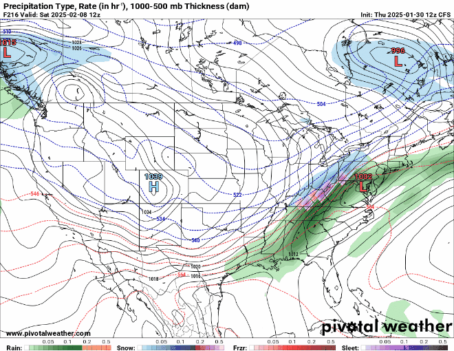
That will set the stage for our next round of unsettled weather into the last couple of days of the next week. There are signals that any system that moves in would likely bring us rain and potentially storms since we’ll be on the warm side of this storm…but the models are not agreeing at all right now.
Plenty of time for this one to cook and we’ll get some clarity as we head through the week. However, in the longer term, toward mid-month, I would not be surprised to see some thunderstorms before a sharp turn back to the colder side of things. But until then, let’s enjoy the milder and tranquil pattern of this weekend!
That’s it for me for now! You can always keep up with the latest on all of our social media platforms. Have a tremendous day and a great weekend!