It has been such a wintry whirlwind in WABBLES thus far this year. I hope you will enjoy this brief reprieve before we’re thrown right back into the deep freeze, which is coming sooner than just about anyone would like.
A walk on the mild side: Friday and Friday night
We’re set up with some upper ridging as we head into the weekend. This means we’ll see not only sunshine, but a return to…yes…above normal temperatures!

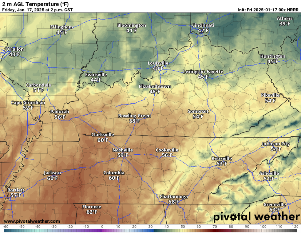
This area of high pressure transitioning off to our east will mean we’ll grab some return flow out of the south, giving a much needed boost to the mercury in the afternoon. Sunshine combined with that southerly flow will help push highs up into the upper 40s to near 50º throughout the region. That’ll help put a kickstart into the ol’ snowmelt!
However, that sunshine looks rather filtered, especially as we head later in the day. That’s because, you guessed, another weather system will be working into the region.

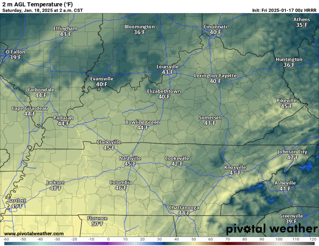
Don’t worry, though, this one looks to be all rain. Well, at least the vast majority of it. We’ll see showers begin to filter into the region past sunset, and be with us as we head into the overnight. Lows stay rather mild for this time of year, only falling into the lower 40s.
Soggy Weekend, ending wintry?: Saturday and Sunday
Moisture from the gulf, along with this system scooting in from the north, should phase enough to continue scattered showers for a rather dreary look to our Saturday.

One thing we’ll watch for is the warm air and the rain falling combining with the recent snow and ice melt that could cause some ponding on area roads and some swelling on those smaller creeks and streams. Not looking for widespread flooding or anything like that, but something to be aware of if you’re out and about on Saturday…especially early.
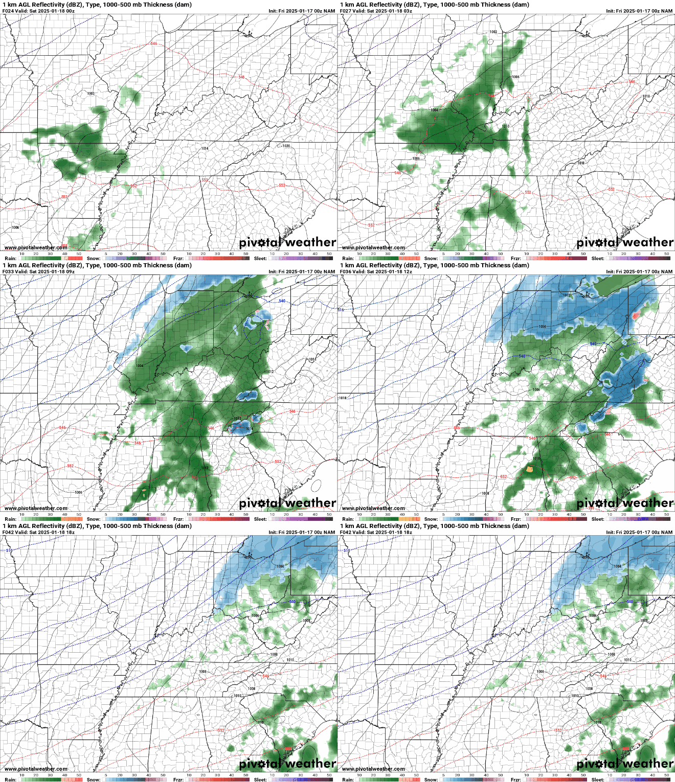
Scattered drizzle should continue off and on throughout the day. Despite the clouds and rain, we’re January-warm again, with highs again approaching 50º or so. However, things begin to change overnight.
As the cold front associated with this system looks to crash in here late on Saturday, the temperature should quickly plummet before all the moisture moves out of WABBLES. This means some of that rain may change over to a bit of snow as the system moves out, but I’m not too optimistic.
The ground, despite recent snow cover, will still be rather warm from the rain and snowmelt we’ve seen. So, while some slick spots can’t be ruled out, widespread issues are not expected. Even so, lows will plummet back into the middle and upper 20s as arctic air filters back in.
Clouds will hang tough during the day on Sunday as our system continues to spin away, but that won’t help temperatures too much. Daytime highs for the midpoint of the MLK weekend look to peak only near freezing. Northwesterly winds overnight keep lows frigid, with temperatures settling back into the middle teens overnight.
Arctic air visits again: Into Next Week
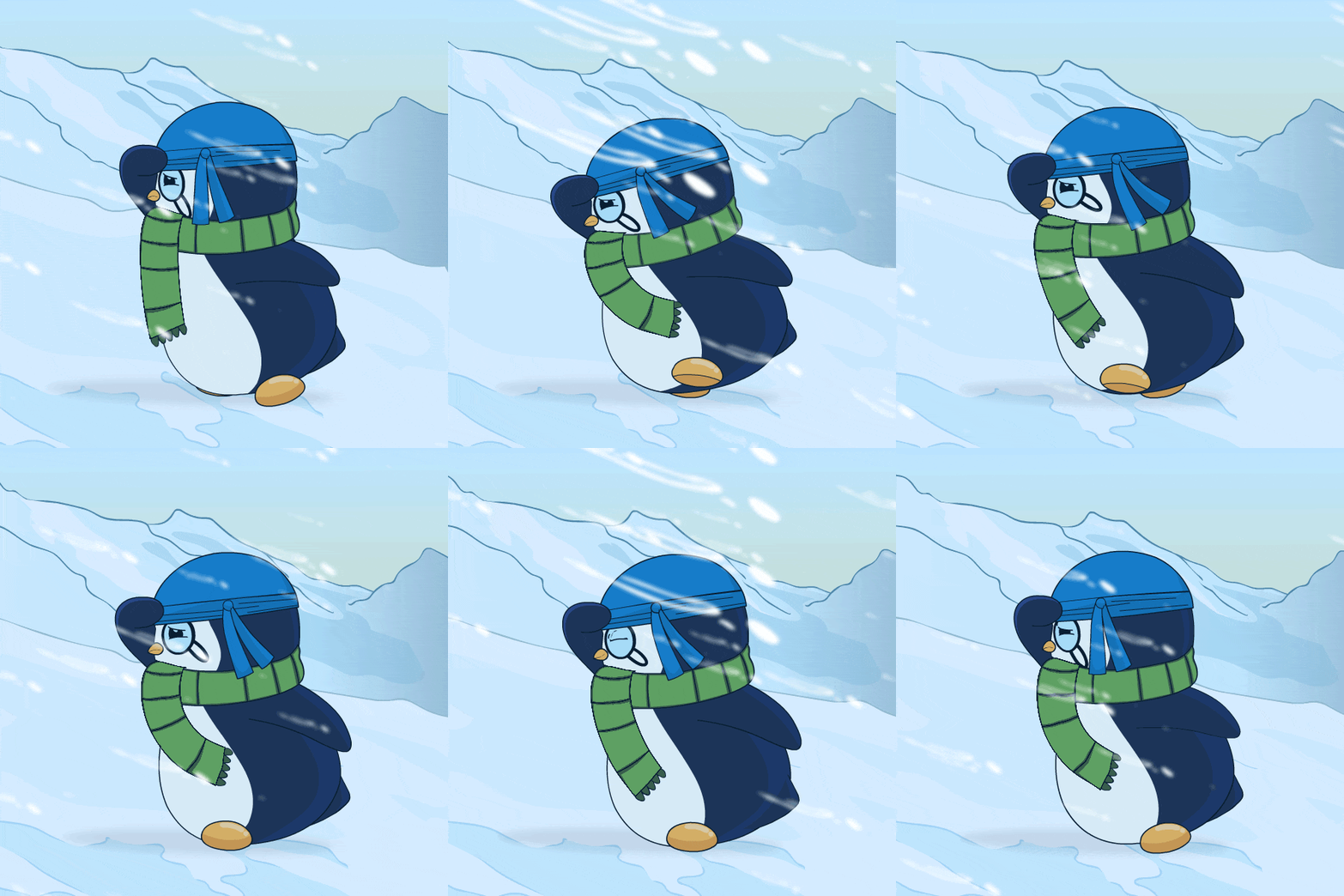
The air on the back side of this system is arctic in nature, so the mercury will look downright Manitoban as we head into Martin Luther King Day itself. Sunshine should break back out as highs only make it into the lower to middle 20s around the region.

Another quick-hitter will try to sneak into the region late on Monday, but with the air so cold, we’re not looking at a lot of moisture with this one. Overnight lows collapse back into the teens again, with some likely lapsing into the single digits in the usual sheltered locations.
This trend looks to continue through the week as we keep an eye on the arctic blast overwhelming the region again. Highs look to settle into the 20s, with lows overnight back into the teens. We’ll keep an eye on later next week for another shot at some wintry weather, but that’s pretty far in the future.
That’s it for me for now! You can always keep up with the latest on all of our social media platforms. Have a tremendous day and a great weekend!

