WABBLES, we are getting back into the grind on this Wednesday morning. The kids are finally back in school after rounds of winter storms and warmer, stable weather gives us a relief. Those freezing cold morning temperatures will slowly work their way out. We will close our week with some closer to average temperatures, but what comes after that? Stay tuned for all the answers to your questions in today’s blog.

Wednesday Weather
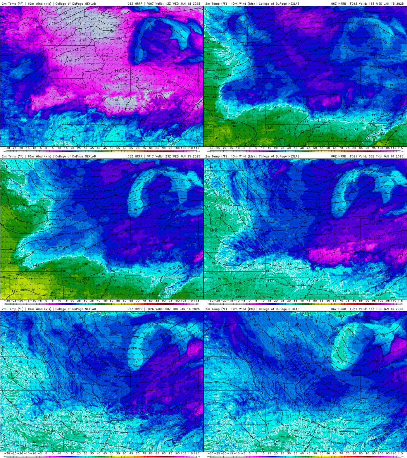
Today we continue this trend of up and down temperatures, and it will be notifiable colder than it was yesterday. With our high today sticking around the low 30’s. We won’t reach this temperature until tomorrow afternoon, which means we have to get through the frigid morning temperatures first.
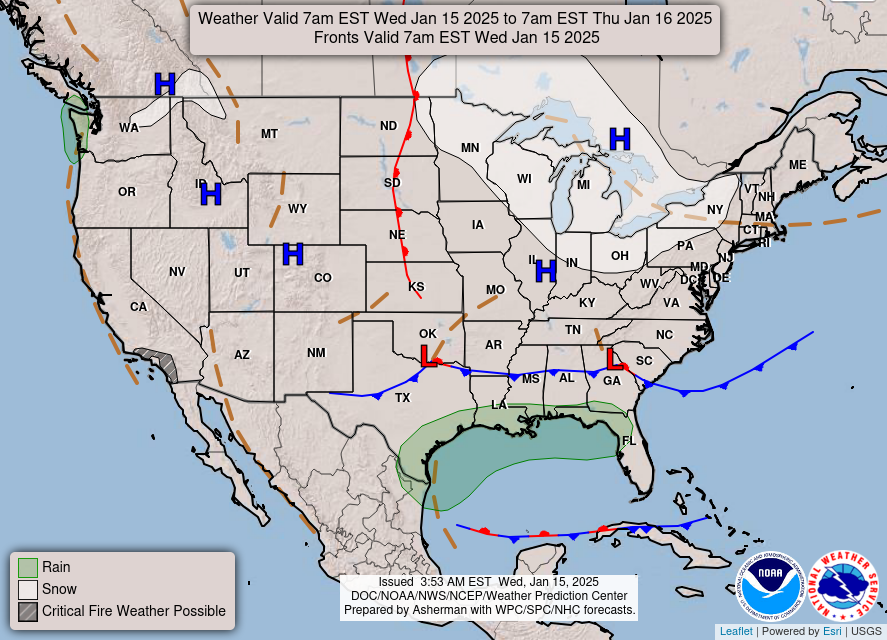
Our morning temperatures will be in the low teens with feels like in the single digits. That means don’t shed a layer quite yet because you will need it at least for today. As Sam Taylor mentioned in Monday’s blog, we’re sitting under a dome of high pressure. Which means stable skies for WABBLES today.
When the sunshine turns to nigh our temperatures will dip into the low 20’s. A mostly clear sky will continue this cool down and give us a frigid night for any mid-week activities.
Winter Arrives
Tomorrow, we start to warm as our upper-level heights rise. This starts in the morning as the temperature are in the low 20’s and our high will be in the low 40’s. Our stable pattern continues with plenty of sunshine continuing today. Our winds will pick up tomorrow gusting upwards of 20 mph.
Friday will be the last day of this stable routine. Our high will reach almost 50 degrees today, a great day to go out and enjoy the sunshine before winter arrives again. Heading into Friday night we will start to see rain chances increase after midnight.
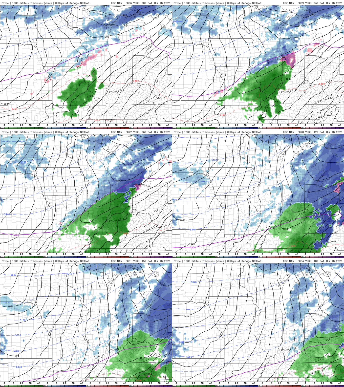
The weekend will bring back winter, as rain pushes through Saturday and possibly transitioning to snow Saturday night. This will drag with it a cold front that drops our temperatures going into Sunday. This is less snow than originally predicted for, and it looks to remain mostly as rain. This can give peace of mind going into the weekend.
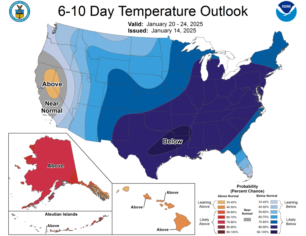
After this we will see temperatures, plummet going into Monday. Another plunge of artic air sends us right back into the freezing temperatures. The Climate Prediction Center shows us just how far this round of artic air dips south heading into next week. This drop in temperatures is also accompanied by drier air as stable air and high pressure sit over us for most of next week.
Stable air seems to be the name of the game for most of our forecast WABBLES. Get out there and enjoy a few days of sunshine and some near average temperatures, before the rain brings back winter. As we head into the weekend stay updated for the timing of the rain on our Twitter. Grab that extra layer heading into the weekend and stay warm and stay safe WABBLES.
