To paraphrase Cage the Elephant “there ain’t no rest for WABBLES,” and it would appear that will be the case as we head into the weekend talking yet another chance for accumulating snow.
Here We Go Again: Friday and Friday Night
We’ve barely caught our breath from last weekend’s winter bonanza and the ensuing gelid conditions and now another snow threat is knock-knock-knocking on WABBLES’ door.

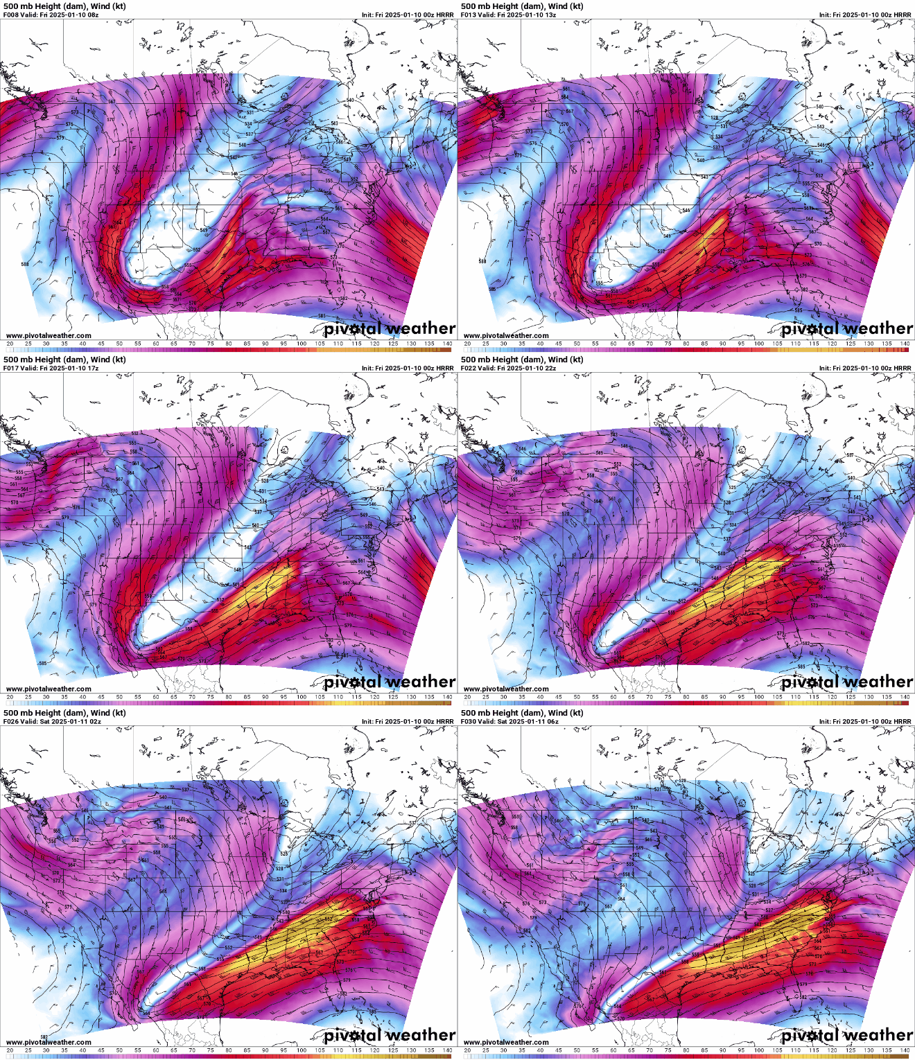
We’re watching a southern stream system coming out of the deep south states as it pushes closer to the region. This will at least shake hands with a weak disturbance coming at us accompanying another arctic blast from the north and west.
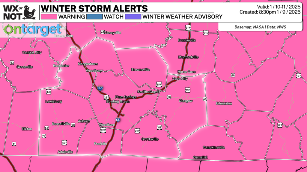
With the cold we already have in place, this system looks to be all snow as it pushes in through the day on Friday, especially as highs stay stagnant around freezing or so. Winter Storm Warnings have been hoisted for the entirety of WABBLES through early Saturday morning.
Snow showers should overspread the region as we head through the evening and overnight hours.
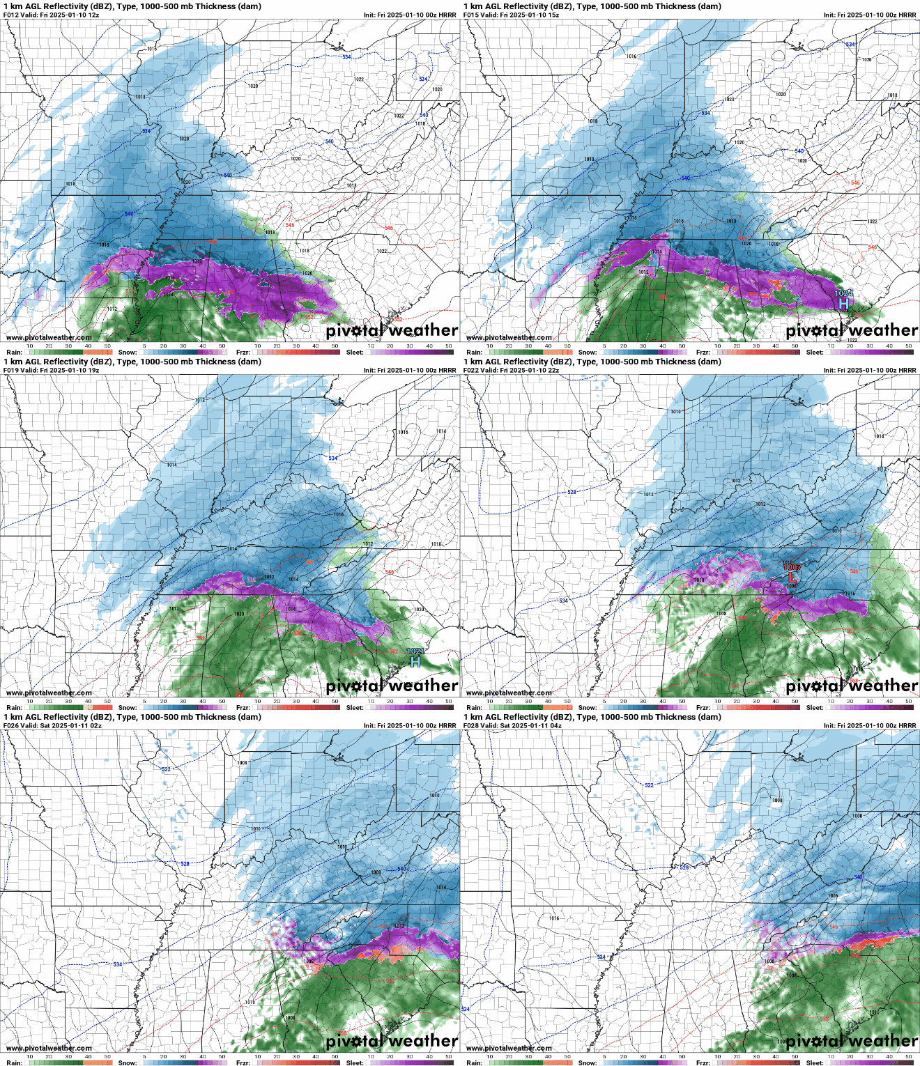
That could lead to yet more snow accumulations across the area, on the magnitude of 3-6 inches possible throughout the area, with some locally higher amounts possible in any areas that run into some banding. That won’t help those temperatures much as we head through the overnight hours. Lows only hang out around the lower 20s.
Safe to see, probably not a night to head around town with the cold and the snow returning.
Settling back: Saturday and Sunday
Mother Nature finally looks to show us some mercy as we head into the weekend.

The pattern looks to finally smooth out a little bit during the day on Saturday. Though it may be a bit cloudy early as our latest snowmaker pushes out.

We should see a return to a mix of sun and clouds in the afternoon, though the temperatures won’t be getting a boost, with highs only settling near freezing.
The arctic chill is back on overnight with at least partly cloudy skies combining with snowpack to allow lows to dip back into the middle and upper teens overnight.
Some clouds could linger into the day on Sunday as well.
A weak disturbance will try to make a run at us during the day, but it will be pretty moisture starved. Should we get any sunshine, we may even make it above freezing!
Some of those clouds may linger overnight, keeping lows from getting too chilly, but still appropriately frigid with lows in the middle 20s.
Calmer pattern: Into Next Week
We can finally get a breather as we enter the middle of the month. Well, from the snow, not necessarily the cold.

High pressure will look to settle in during the early part of the week, bringing back some much needed sunshine. That may help highs on Monday get back into the middle 30s during the day, but overnight lows remain chilly, back into the middle teens.
That general pattern looks to continue into midweek, as highs look to balance out in the 30s with lows near 20 during the overnight hours.
That’s it for me for now! You can always keep up with the latest on all of our social media platforms. Have a tremendous day and a great weekend!

