WABBLES, you made it to the middle of the week again. While I know it has been cold over the last couple week and we’ve seen winter show its true colors, we may finally get to see normal again soon. How will this transition look? How long will it stick around? These questions will be answered in today’s blog, so shed a few layers and get ready for it all.
Wet WednesDAY
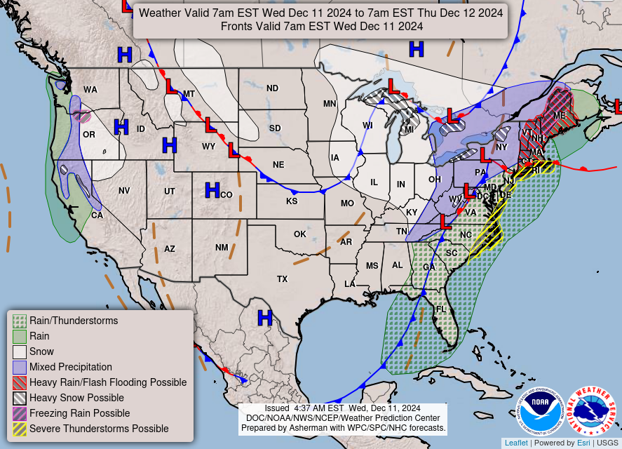
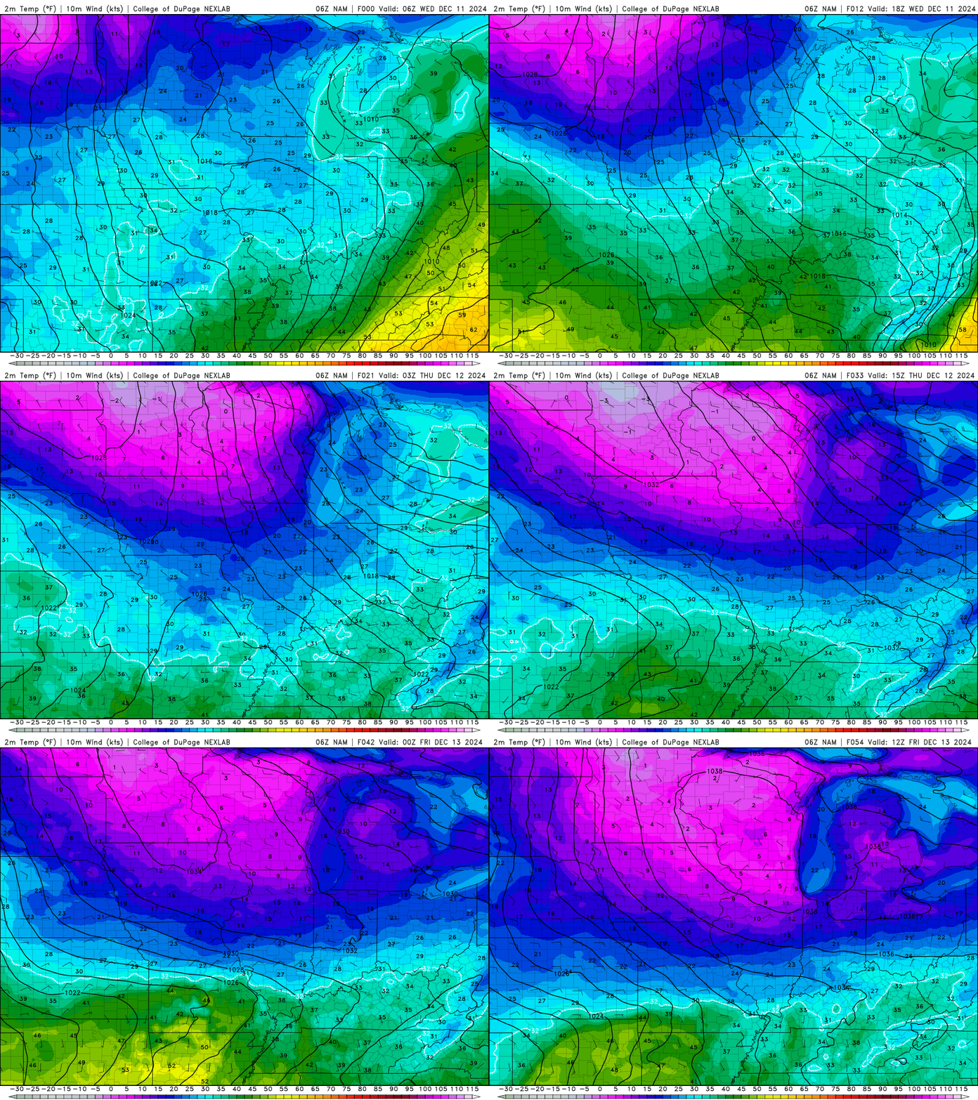
Now normal can’t happen without at least one messy day in there. That day is today, while you wake up and get ready to go to work you first may want to watch for some slick spots out there. Overnight rain and freezing temperatures may leave some areas of ice on the roads this morning.
But today’s high will be in the low 40’s as we start off our day partly sunny. While this is chillier than yesterday it’s what must come before the normal. Moving into your afternoon you may see a flake of snow or two, but it will be mostly scattered rain into the afternoon. With this rain we may also see winds gusting between 20-25 mph so hold onto those umbrellas.
As you go off to any activities you have tonight watch the roads. As temperatures fall going into the evening hours wet roads may become slick, so drive safe. The low for tonight will be in the low 20’s.
When Does Normal Return
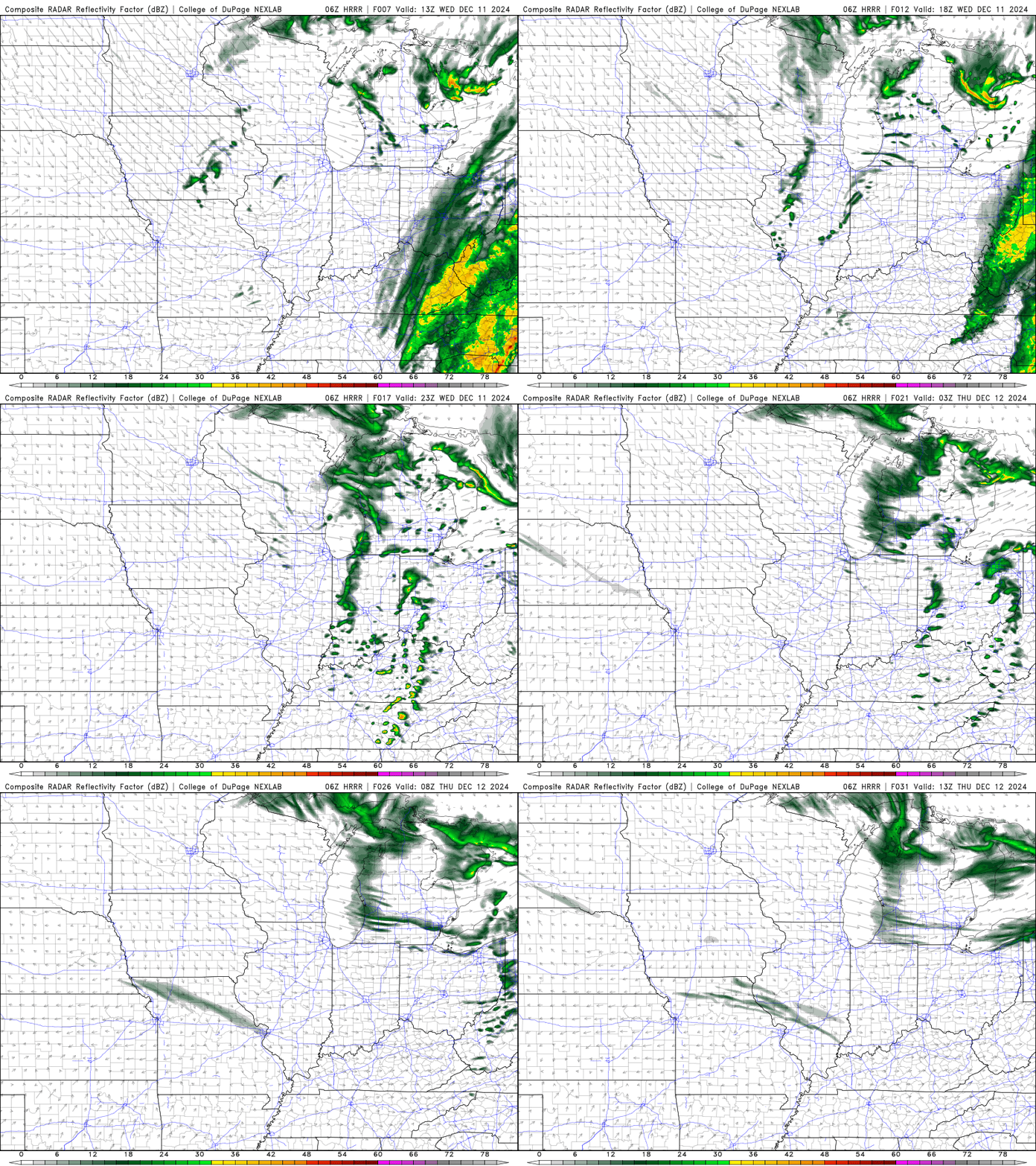
Well, as all the rain and snow from today passes us going into tonight, tomorrow will be a different story. with a high similar to yesterday in the low 40’s this is the end of the colder days for a while. The sun will be shining, and the winds will be light making for a beautiful Thursday that starts to feel more normal. This trend becomes even more apparent as we get into Friday, where we start to see the 50’s again. This may come with some rain, however. A weekend shower can’t rule out going into your Saturday.
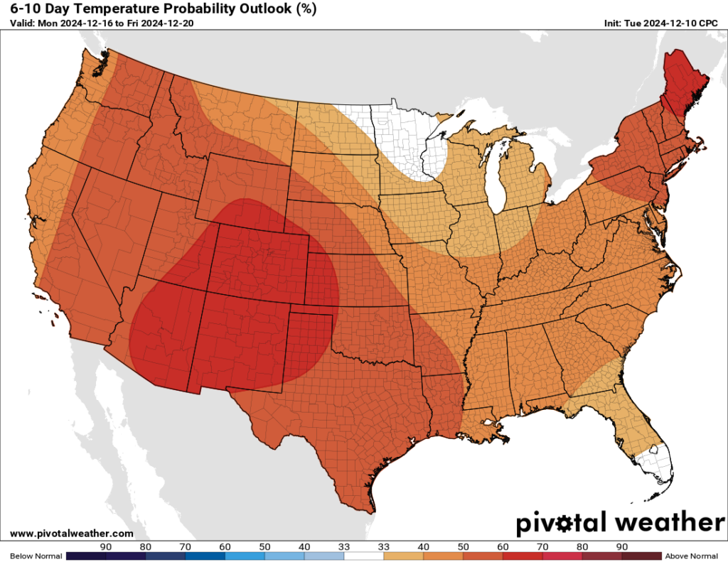
How long will we see this normal trend. The average December temperature for the WABBLES region is 50 degrees according to the Kentucky Mesonet. So, as we see this warmer trend enter the 50’s December is back on track. The Climate Prediction Center shows us that as we move into next week, we will start to see an above average temperature trend and our precipitation trend will be wetter than average. This trend looks to continue towards Christmas, so I wouldn’t bet on a white Christmas just yet.
That’s all we got for you today WABBLES. Enjoy the return to normal weather with this warming trend. Be careful today and watch for any slick spots on the roads heading into tonight. Prepare for warming temperatures and some rain this weekend. Stay up to date with any weather updates on our Twitter. As always stay safe, stay dry, and till next time WABBLES.
