After chowing down on some delicious turkey in WABBLES yesterday, we’re continuing to watch a wintry feel around the region as we finish out the month of November.
Wintry Chill: Friday and Friday Night
Things are looking rather chilly as high pressure works on into the region. And this is high pressure is from up in Canada.

This means that not only will we see chilly air continue to filter into the region, but blustery northwest winds will keep us feeling even colder.
Despite highs making it into the upper 30s, gusts of 15-20 MPH will make it feel like we’ve not gotten out of the 20s.
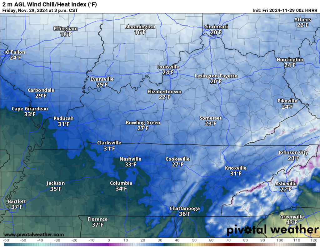
If you’re headed out shopping for Black Friday, definitely grab the heavy coat, gloves, beanie…you name it. Or, of course, you could stay inside, shop online and watch football.

There look to be some clouds around during the early part of the day, but as they clear out into the evening and overnight, the bottom looks to fall out of the thermometer, as lows tumble into the 20s overnight.
If you’re headed out to the KHSAA 5A Semis at South Warren at night against Bowling Green, make sure to wrap yourself up tight because things are looking frigid for the football game.

Watching a Frigid Weekend: Saturday and Sunday
Sunshine starts us off as the calendar turns to the weekend. We’ll continue to see a little bit of cold air push into the region during the day, but temperatures should hold relatively steady during the day.
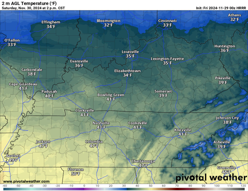
Highs should only make it into the upper 30s to near 40º as a few clouds scoot back into the region…ahead of a quick-hitting weak clipper headed our way.

We don’t have a ton of moisture in place, but we do have enough to squeeze a few rain or snow showers out of this system as it works in past sunset. Because the air is so cold, any snow showers that do happen to fall will be quite efficient, and could leave a dusting for us on the grassy surfaces. Overnight lows fall back into the lower to middle 20s.
Behind this clipper, things get even colder as we close out Thanksgiving weekend and the month of November.
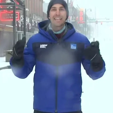
Skies will clear out during the day, but the source region for our airmass is downright arctic. Even under sunshine, we’re only talking daytime highs in the middle 30s. Even without much snowfall. As skies clear overnight, we’re headed down even colder, with overnight lows tumbling into the teens as we officially start December on a rather wintry note.
December Starts Cold: Monday and Beyond
It will feel appropriately wintry as we head into the first work week of meteorological winter.
Sunshine looks to be abundant on Monday as we watch highs crest only in the middle 30s during the afternoon. Overnight lows are back in the 20s.
We’ll slowly moderate things as we head toward the middle of the week. Highs will make it back into the 40s and perhaps near 50º as we finish the week up. We may try to sneak another system in here by the middle and end of the week, but models aren’t sold on anything juuuuust yet. Stay tuned!
That’s it for me for now! You can always keep up with the latest on all of our social media platforms. Have a tremendous day and a great weekend!

