We’ve seen some showers work through WABBLES already this week, so we deserve some drier weather headed our way. And it comes at a good time too, because the pattern will try to turn even more active as we work toward next week.
Cool Finish to the Work Week: Friday and Friday Night
No weather worries on the way as we head through Friday as high pressure settles back into the region.

Sunshine should rule the day as northerly winds continue to usher in seasonably cool air into the region. Highs will only make it into the upper 50s to near 60º as we head into the afternoon. Though, I would grab the jacket if you’re planning on heading out to Friday night football.
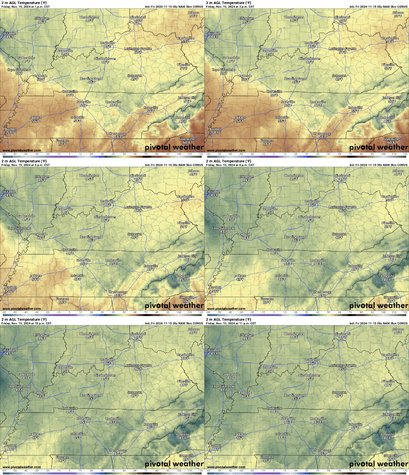
Temps are cooling quick for our folks getting ready for the second round of the playoffs. Sun will have long set by most kickoffs out there as we see temperatures fall back through the 40s as we hit the gridiron. We may have to deal with some patchy fog as well as lows settle into the upper 30s.
Weekend Improvement: Saturday and Sunday
The nice weather looks to continue as the weekend finally arrives.

High pressure remains in control of the forecast, which means more sunshine is on the way as we head into Saturday. We just might have to get through some early fog.

Once that burns off, we’ll be in pretty good shape, with plenty of sunshine allowing highs to get back to near 60º or so. Some clouds may sneak in, but it should still be a pretty nice day.
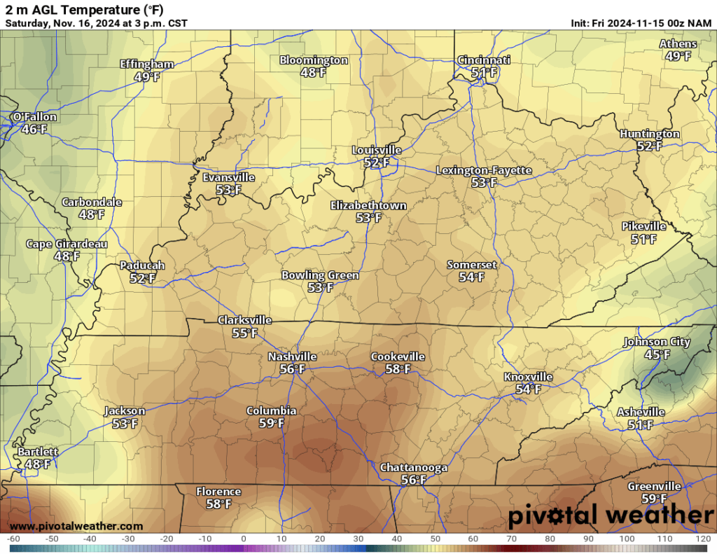
Some of those clouds may linger later into the day on Saturday as we’ll continue to see some moisture try to return to the region. Those shouldn’t affect temperatures too much, but should keep us on the milder side of 40º or so overnight.
Dry weather continues, but things get warmer as we head into Sunday thanks to high pressure moving to the south and east.
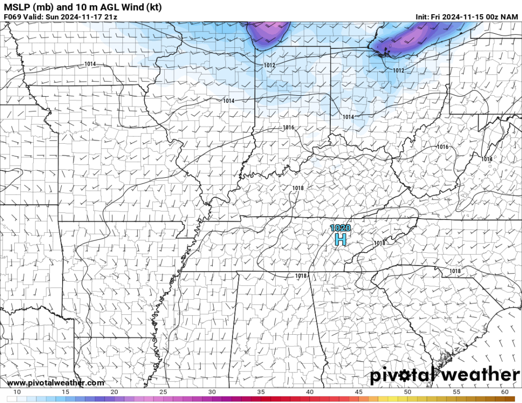
That should allow more southerly winds to work into the region. Combining with partly cloudy skies to see highs make a run up into the middle 60s during the afternoon as we continue to bring moisture into the region.
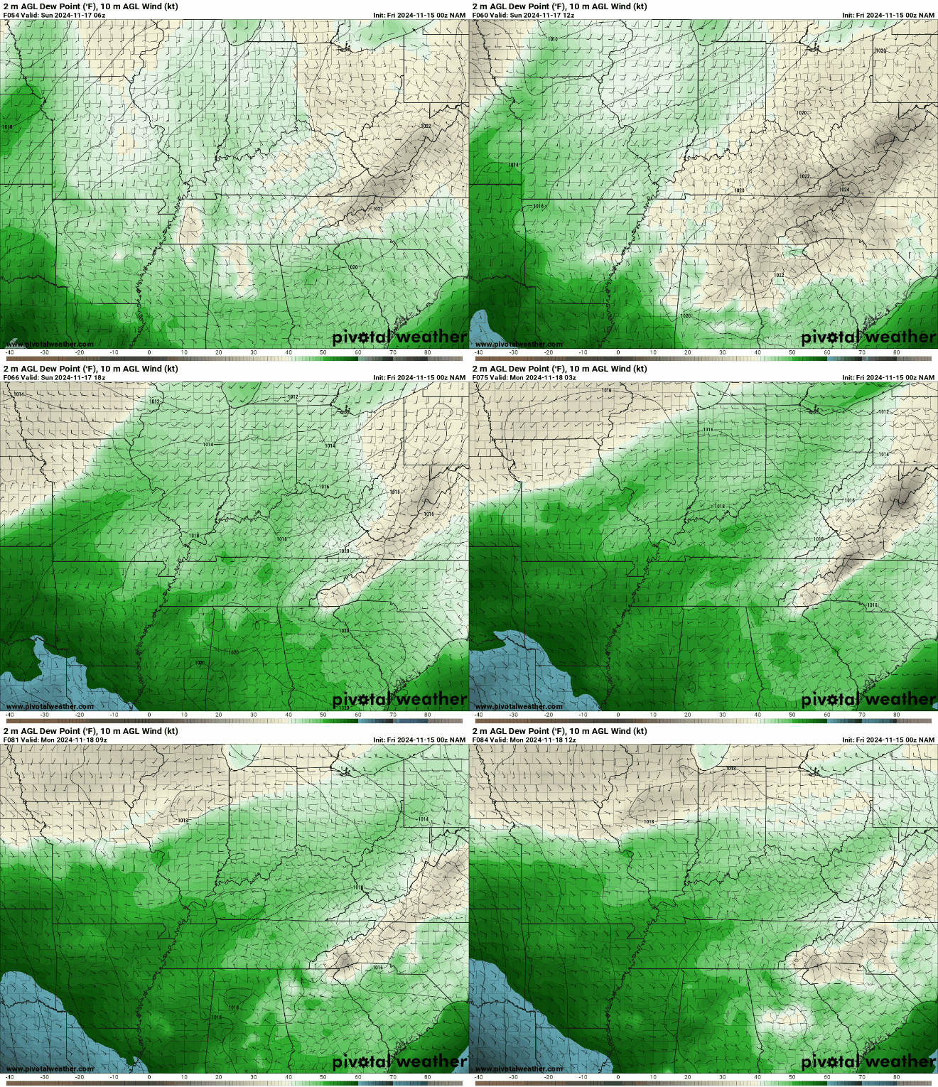
We’ll attempt to bring some of that moisture to the ground as a weak disturbance attempts to move in overnight. Clouds will increase with maybe a sprinkle trying to push in during the evening and overnight hours. That will keep us milder, with lows only falling to about 50º or so.
Mid-November “Fun:” Into Next Week
The weak system out there as we close out the weekend may linger into the early hours of our Monday, keeping clouds around the region.
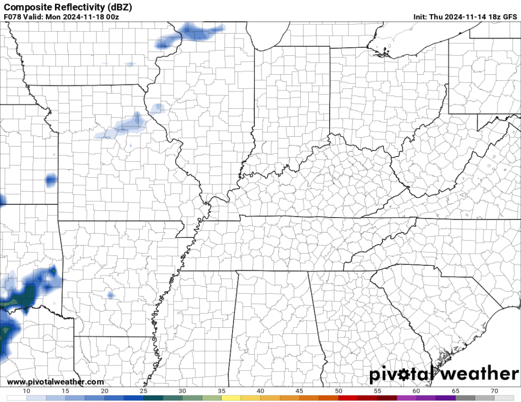
Even with clouds, the southerly winds should have air on the milder side as highs climb back up into the middle 60s for daytime highs on Monday. Clouds should keep us from dropping too much overnight with lows only around 50º or so as we continue to pump moist and mild air into the region.
The pattern is on the move as we head toward midweek.

Halfway up in the sky, we’ll be watching a rather large trough working from the desert southwest out through the central part of the country. The surface response should be a deepening low pressure developing across the plains and moving into the western Great Lakes.
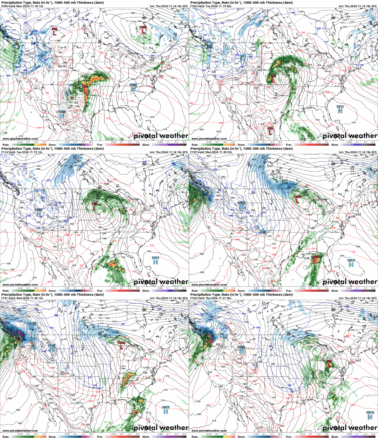
Severe weather doesn’t look like a big threat, but things will get windy as scattered showers work in by midweek. After highs flirting with 70º midweek, we’ve got big changes on the way as our first real shot of colder air works toward the region.
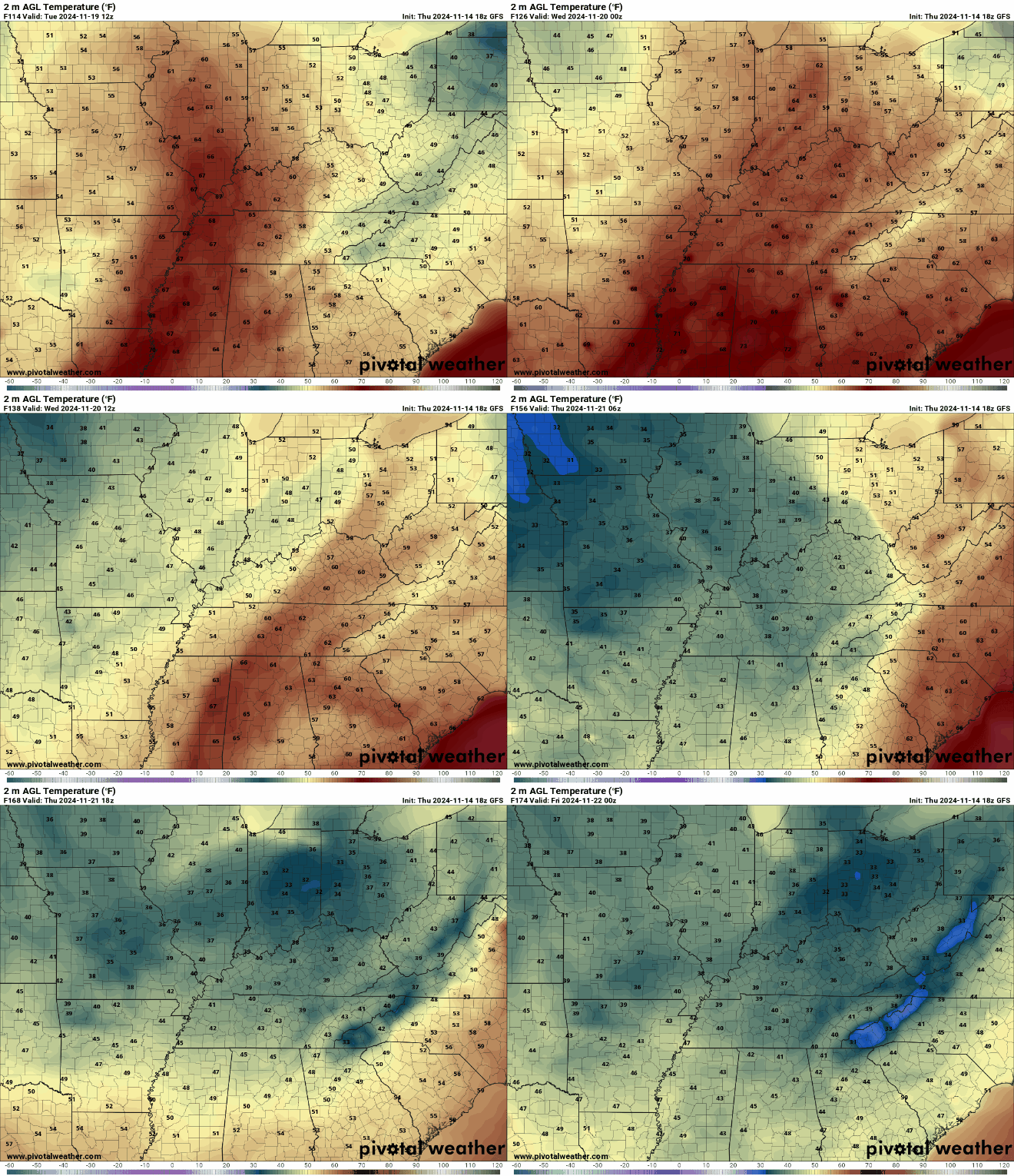
There are days by late week where we struggle to get out of the 40s for daytime highs! It’s beginning to feel more and more like the most wonderful time of the year!
In fact, CPC is also seeing the pattern, with increasing probabilities of cooler than normal temperatures as we head toward Thanksgiving.
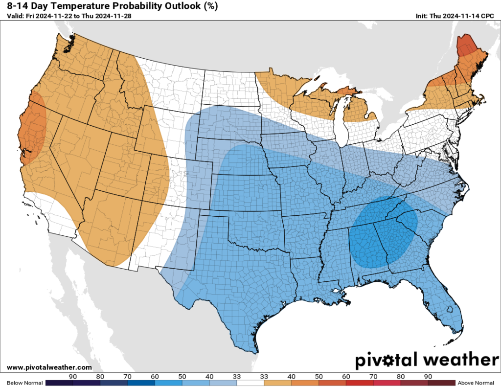
We’ll continue to keep an eye on next week as the active pattern looks to ramp back up.
That’s it for me for now! You can always keep up with the latest on all of our social media platforms. Have a tremendous day and a great weekend!

