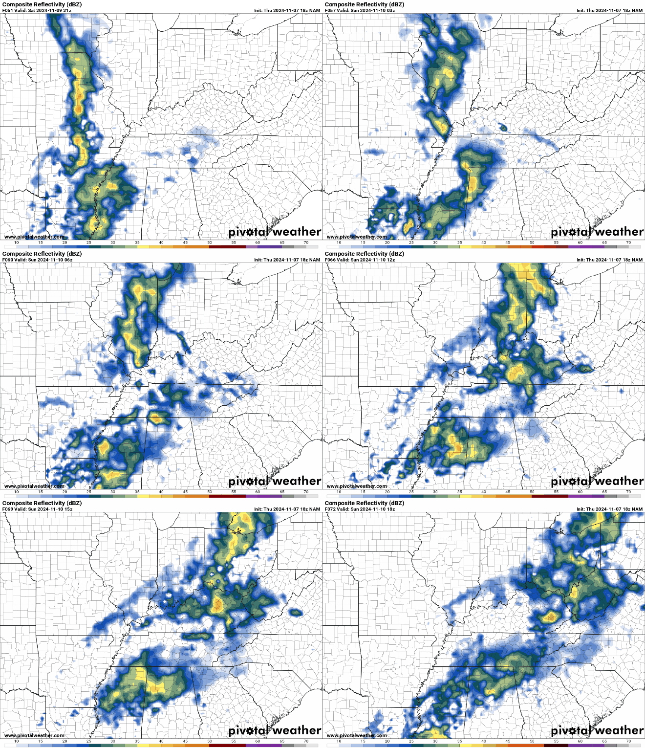
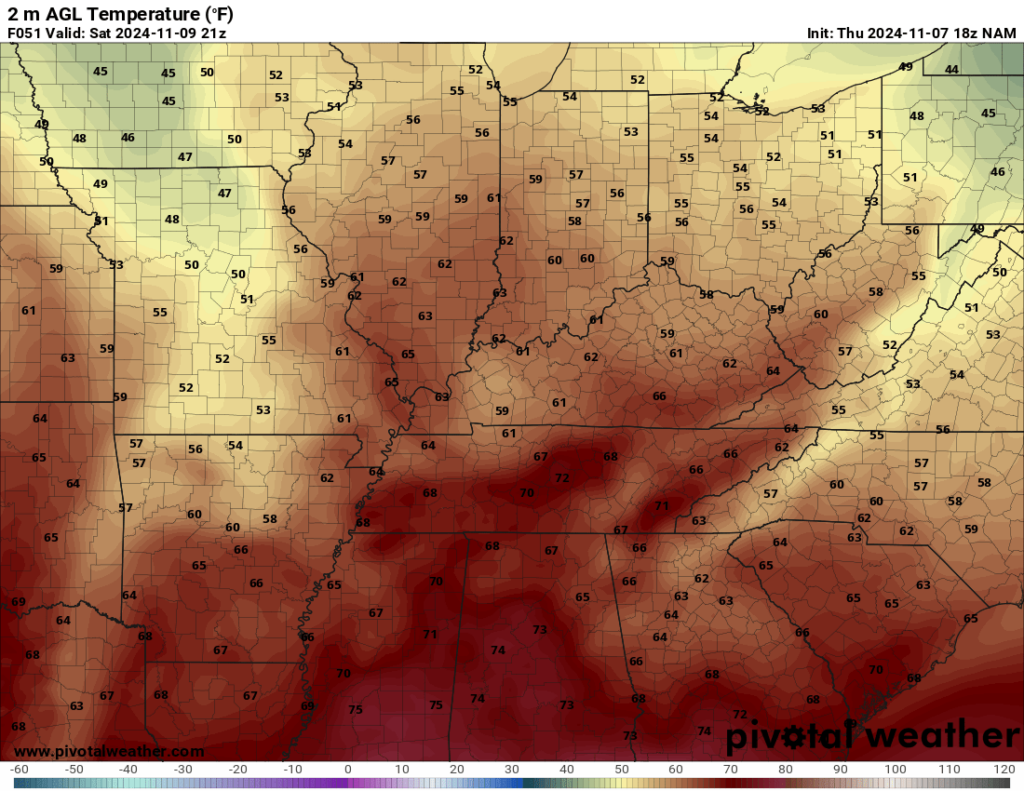
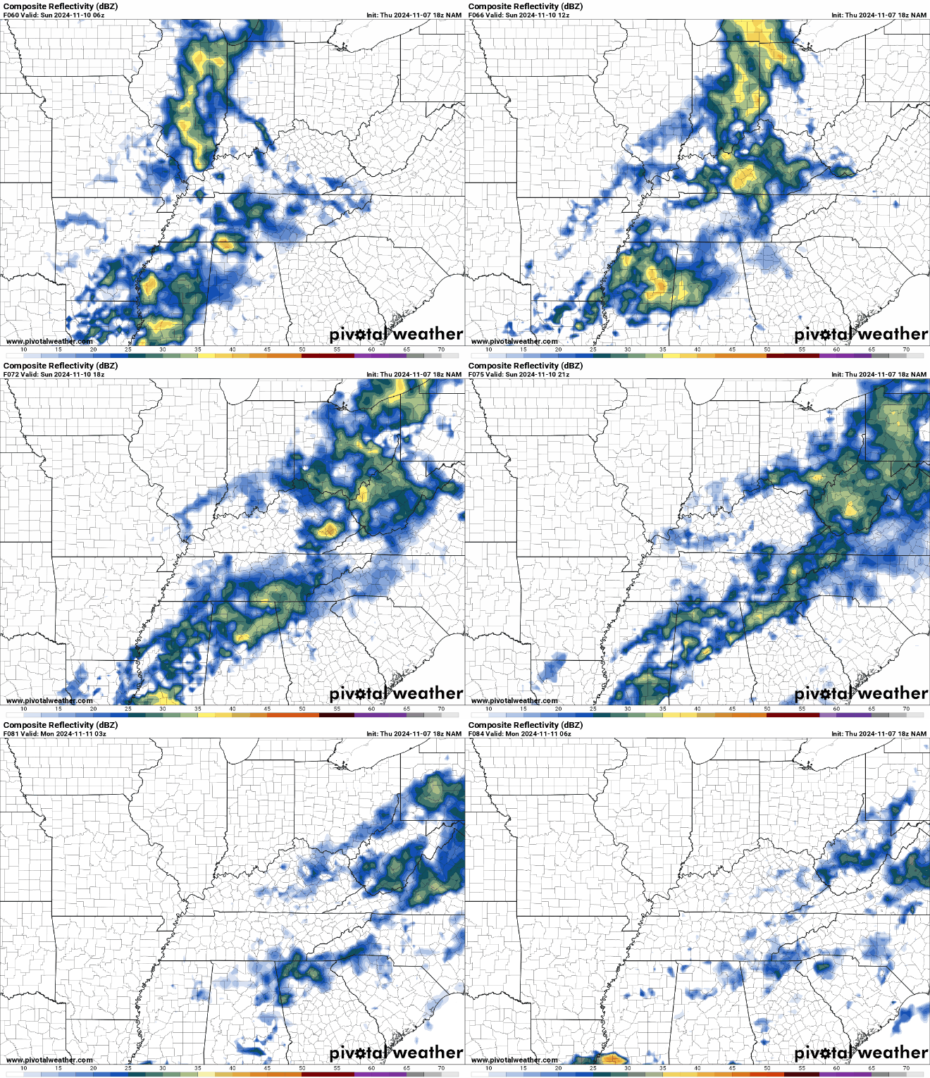
Things around WABBLES have been distinctly un-Novemberlike. We have spent the first few days of the month well above normal in the temperature department, and that has also come with an increase in our rain chances as well. This same ol’ song and dance looks to continue as we work through this weekend.
Easing Into the Weekend: Friday and Friday Night
We’re getting a brief break in the precipitation as we head into our Friday afternoon.

This is as we wait for our next storm system gathering steam across the plains states and trying to move into the region.

Ahead of it, we will remain warm and a touch breezy into our Friday afternoon. We’ll see partly cloudy skies to start, with southerly winds allowing highs to get up into the lower 70s or so. However, clouds will be on the increase late in the day and into the evening hours. That will prevent us from cooling too fast overnight. Lows look to only fall into the middle 50s as showers approach the region.
Dodging Rain Chances: Saturday and Sunday
The rainfall will be a theme as we head into our weekend as well.

Our storm system will arrive into the region by the day on Saturday, bringing widespread rainfall chances back to the region.

We don’t look to have a whole lot of instability to work with, but perhaps just enough for a little bit of thunder at times as we work through our Saturday afternoon. Cloud cover won’t allow us to warm too much, but southerly winds will allow our highs to reach up into the lower 70s.

Overnight, we’ll continue the scattered showers with isolated rumbles of thunder as the cold front draws closer to the region. Clouds and showers will continue to keep overnights mild, as lows only fall back into the upper 50s or so.
Our cold front will attempt to sweep through the region as we head early on into our Sunday, which will allow us to taper off the nice soaking rain as we work through the early hours of the day.

We’ll try to dry things out as we head into the afternoon, perhaps even break out a ray of sunshine or two. That should keep highs yet again in the upper 60s to right around 70º as we head into the afternoon hours and we dry out. However, I’m not convinced that we stay dry for too long.

Some showers may linger into late in the day on Sunday in parts of the region thanks to the leftover moisture we have around. Clouds and showers will keep overnight lows comparatively mild, in the lower 50s.
Growing Question Marks: Into Next Week
For awhile this week, it looked like a more active Gulf of Mexico may be our weather focus as we head toward the middle of next week. However, latest upper air trends suggest that we’ll dodge what’s left of Rafael as it meanders west through the Gulf of Mexico.

The way the pattern is set up continues to favor mild air as we head into Monday and Tuesday, with highs making it mostly into the lower 70s. Right now, things may be on the drier side, with some breaks of sunshine in the afternoon.

Warmer air continues to surge into the region by Wednesday as we watch another robust fall storm system get cranked up across the plains states. Latest trends suggest that this low will move toward the Great Lakes Wednesday and into Thursday, dragging a strong cold front through the region.

While we’ve still got plenty of time to watch this thing and it’s very early, that’s usually a signal that portends thunderstorms moving back into the region…some of which could be strong. We’ll continue to watch it as we head toward next week. Models have continued to waffle on the placement of the trough and the potential surface low…so check back soon.
In any case, I would keep the rain gear handy. Oh, and you can keep those winter clothes in storage for another weekend.
That’s it for me for now! You can always keep up with the latest on all of our social media platforms. Have a tremendous day and a great weekend!

